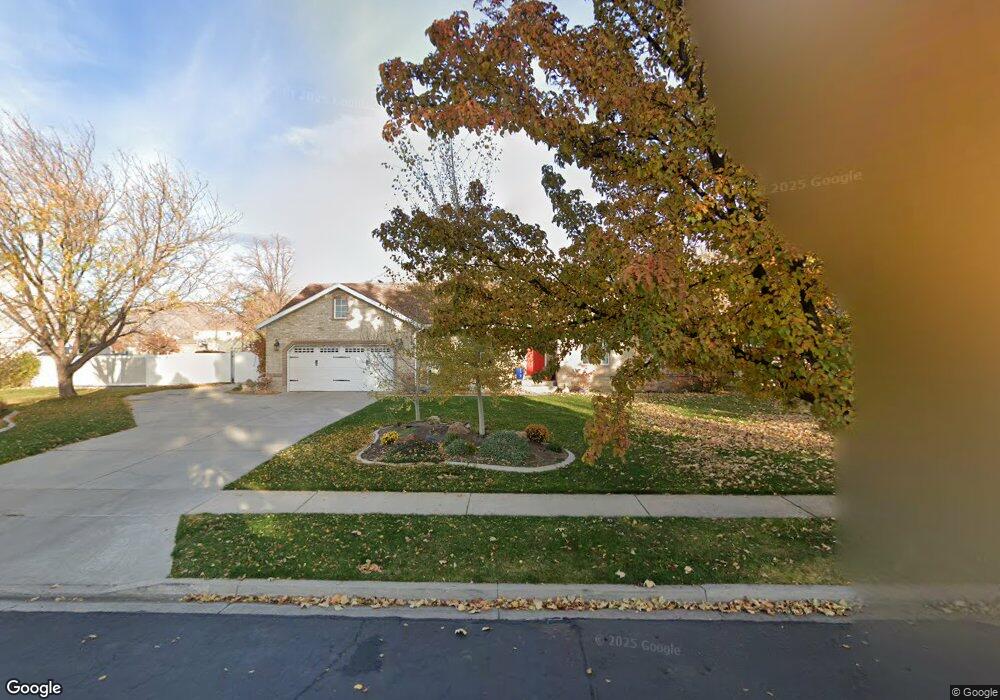
1311 S 1880 E Spanish Fork, UT 84660
Estimated Value: $692,000 - $794,386
5
Beds
3
Baths
2,980
Sq Ft
$248/Sq Ft
Est. Value
About This Home
This home is located at 1311 S 1880 E, Spanish Fork, UT 84660 and is currently estimated at $737,795, approximately $247 per square foot. 1311 S 1880 E is a home located in Utah County with nearby schools including East Meadows Elementary School, Spanish Fork Jr High School, and Spanish Fork High School.
Ownership History
Date
Name
Owned For
Owner Type
Purchase Details
Closed on
Aug 8, 2013
Sold by
Wiscombe James Scott and Wiscombe Kathy Ann
Bought by
Hall William Max and Hall Ingrid Kathrine
Current Estimated Value
Home Financials for this Owner
Home Financials are based on the most recent Mortgage that was taken out on this home.
Original Mortgage
$298,493
Outstanding Balance
$222,597
Interest Rate
4.46%
Mortgage Type
FHA
Estimated Equity
$515,198
Purchase Details
Closed on
Sep 23, 1997
Sold by
Wiscombe James Scott
Bought by
Wiscombe James Scott and Wiscombe Kathy Ann
Home Financials for this Owner
Home Financials are based on the most recent Mortgage that was taken out on this home.
Original Mortgage
$140,000
Interest Rate
7.54%
Create a Home Valuation Report for This Property
The Home Valuation Report is an in-depth analysis detailing your home's value as well as a comparison with similar homes in the area
Home Values in the Area
Average Home Value in this Area
Purchase History
| Date | Buyer | Sale Price | Title Company |
|---|---|---|---|
| Hall William Max | -- | Pro Title & Escrow Inc | |
| Wiscombe James Scott | -- | -- |
Source: Public Records
Mortgage History
| Date | Status | Borrower | Loan Amount |
|---|---|---|---|
| Open | Hall William Max | $298,493 | |
| Previous Owner | Wiscombe James Scott | $140,000 |
Source: Public Records
Tax History
| Year | Tax Paid | Tax Assessment Tax Assessment Total Assessment is a certain percentage of the fair market value that is determined by local assessors to be the total taxable value of land and additions on the property. | Land | Improvement |
|---|---|---|---|---|
| 2025 | $3,706 | $413,760 | -- | -- |
| 2024 | $3,706 | $381,935 | $0 | $0 |
| 2023 | $3,745 | $386,455 | $0 | $0 |
| 2022 | $3,739 | $684,000 | $388,400 | $295,600 |
| 2021 | $3,010 | $485,300 | $228,000 | $257,300 |
| 2020 | $2,800 | $439,000 | $207,200 | $231,800 |
| 2019 | $2,630 | $433,900 | $207,100 | $226,800 |
| 2018 | $2,428 | $386,900 | $177,100 | $209,800 |
| 2017 | $2,155 | $185,415 | $0 | $0 |
| 2016 | $1,968 | $167,090 | $0 | $0 |
| 2015 | $1,849 | $155,155 | $0 | $0 |
| 2014 | $1,697 | $142,890 | $0 | $0 |
Source: Public Records
Map
Nearby Homes
- 1166 S 1920 E
- 417 E 1460 S Unit 48
- 357 E 1460 S Unit 45
- 385 E 1460 S Unit 47
- 1878 E 1050 S
- 1147 S 1660 E
- 2237 E 1400 S
- 1687 E 1000 S
- 938 S 1740 E
- 1503 S 3740 E Unit 1320
- 2044 E 800 S
- 2308 E 850 South St Unit 10
- 1332 E 1670 S Unit 823
- 2342 E 830 S Unit 27
- 2342 E 830 S Unit 26
- 82 E 1900 S
- 1528 E 1790 S
- 232 E 860 S Unit 158
- 857 S 1300 E Unit 32
- 857 S 1300 E
- 607 E 1310 S Unit 139
- 519 E 1310 S Unit 133
- 576 E 1310 S Unit 124
- 592 E 1310 S Unit 125
- 1287 S 1880 E
- 1345 S 1880 E
- 1852 E 1310 S
- 1249 S 1880 E
- 1849 E 1310 S
- 1908 E 1200 S
- 1312 S 2000 E
- 1326 S 2000 E
- 1294 S 2000 E
- 1387 S 1880 E
- 1282 S 2000 E
- 1330 S 2000 E Unit 196
- 1814 E 1310 S
- 1938 E 1200 S
- 1872 E 1200 S
- 1272 S 2000 E
Your Personal Tour Guide
Ask me questions while you tour the home.