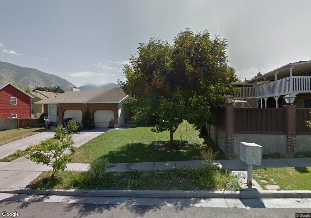
1311 S 550 E Springville, UT 84663
Evergreen NeighborhoodEstimated Value: $389,431 - $413,000
3
Beds
1
Bath
2,220
Sq Ft
$179/Sq Ft
Est. Value
About This Home
This home is located at 1311 S 550 E, Springville, UT 84663 and is currently estimated at $397,477, approximately $179 per square foot. 1311 S 550 E is a home located in Utah County with nearby schools including Sage Creek Elementary, Springville High School, and Springville Junior High School.
Ownership History
Date
Name
Owned For
Owner Type
Purchase Details
Closed on
Jan 28, 2000
Sold by
Wilson Shawn H and Wilson Jennifer
Bought by
Peacock Steven B and Peacock Katrina M
Current Estimated Value
Home Financials for this Owner
Home Financials are based on the most recent Mortgage that was taken out on this home.
Original Mortgage
$100,000
Outstanding Balance
$32,357
Interest Rate
7.87%
Estimated Equity
$365,120
Purchase Details
Closed on
Apr 28, 1998
Sold by
Bradford Janet and Bischoff Janet
Bought by
Wilson Shawn H and Wilson Jennifer
Home Financials for this Owner
Home Financials are based on the most recent Mortgage that was taken out on this home.
Original Mortgage
$106,033
Interest Rate
7.06%
Mortgage Type
FHA
Create a Home Valuation Report for This Property
The Home Valuation Report is an in-depth analysis detailing your home's value as well as a comparison with similar homes in the area
Home Values in the Area
Average Home Value in this Area
Purchase History
| Date | Buyer | Sale Price | Title Company |
|---|---|---|---|
| Peacock Steven B | -- | First American Title Co | |
| Wilson Shawn H | -- | -- |
Source: Public Records
Mortgage History
| Date | Status | Borrower | Loan Amount |
|---|---|---|---|
| Open | Peacock Steven B | $100,000 | |
| Previous Owner | Wilson Shawn H | $106,033 |
Source: Public Records
Tax History
| Year | Tax Paid | Tax Assessment Tax Assessment Total Assessment is a certain percentage of the fair market value that is determined by local assessors to be the total taxable value of land and additions on the property. | Land | Improvement |
|---|---|---|---|---|
| 2025 | $2,160 | $218,240 | -- | -- |
| 2024 | $2,160 | $221,320 | $0 | $0 |
| 2023 | $2,193 | $224,950 | $0 | $0 |
| 2022 | $1,846 | $185,955 | $0 | $0 |
| 2021 | $1,666 | $261,100 | $61,500 | $199,600 |
| 2020 | $1,640 | $249,200 | $61,500 | $187,700 |
| 2019 | $1,499 | $232,000 | $61,500 | $170,500 |
| 2018 | $1,344 | $198,400 | $61,500 | $136,900 |
| 2017 | $1,292 | $101,310 | $0 | $0 |
| 2016 | $1,046 | $80,410 | $0 | $0 |
| 2015 | $987 | $77,550 | $0 | $0 |
| 2014 | $958 | $74,800 | $0 | $0 |
Source: Public Records
Map
Nearby Homes
- 1518 S 600 E
- 1010 S 400 E Unit 21
- 1010 S 400 E Unit 39
- 1121 W 1800 N
- 677 E 800 South St
- 579 E 800 St S
- 629 E 800 St S
- 1195 W 1600 N
- 1632 S Main St
- 949 S 1060 E
- 1410 W 1200 N
- 1225 N 1380 W
- 883 E 700 S
- 1206 E 1150 S
- 645 Swenson Ave Unit 5
- 645 Swenson Ave Unit 3
- 934 S State Rd Unit 208
- 928 S State Rd Unit 207
- 876 S State Rd Unit 203
- 50 E 750 S Unit 25
Your Personal Tour Guide
Ask me questions while you tour the home.