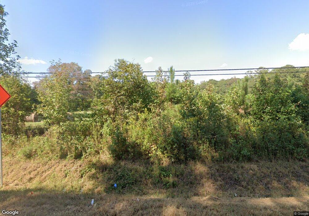
1311 W Highway 166 Bowdon, GA 30108
Estimated Value: $118,000 - $274,000
4
Beds
1
Bath
1,550
Sq Ft
$134/Sq Ft
Est. Value
About This Home
This home is located at 1311 W Highway 166, Bowdon, GA 30108 and is currently estimated at $207,960, approximately $134 per square foot. 1311 W Highway 166 is a home located in Carroll County with nearby schools including Bowdon Elementary School, Bowdon Middle School, and Bowdon High School.
Ownership History
Date
Name
Owned For
Owner Type
Purchase Details
Closed on
Feb 22, 2023
Sold by
Grimaldi Sheila G
Bought by
Lesmes Juan D and Lesmes Krystal
Current Estimated Value
Purchase Details
Closed on
Mar 31, 2008
Sold by
Sec Of Veterans Affa
Bought by
Lail Alan C and Lail Koreen L
Purchase Details
Closed on
Nov 6, 1997
Sold by
Hammond Hammond and Hammond Crenshaw
Bought by
Grimaldi Sheila G
Purchase Details
Closed on
Nov 4, 1997
Sold by
Williams Kevin
Bought by
Hammond Hammond and Hammond Crenshaw
Purchase Details
Closed on
Oct 24, 1997
Bought by
Hammond Carolyn Etal
Create a Home Valuation Report for This Property
The Home Valuation Report is an in-depth analysis detailing your home's value as well as a comparison with similar homes in the area
Home Values in the Area
Average Home Value in this Area
Purchase History
| Date | Buyer | Sale Price | Title Company |
|---|---|---|---|
| Lesmes Juan D | $70,000 | -- | |
| Lail Alan C | $180,000 | -- | |
| Grimaldi Sheila G | $36,000 | -- | |
| Hammond Hammond | -- | -- | |
| Hammond Hammond | -- | -- | |
| Hammond Carolyn Etal | -- | -- |
Source: Public Records
Tax History Compared to Growth
Tax History
| Year | Tax Paid | Tax Assessment Tax Assessment Total Assessment is a certain percentage of the fair market value that is determined by local assessors to be the total taxable value of land and additions on the property. | Land | Improvement |
|---|---|---|---|---|
| 2024 | $633 | $46,252 | $5,328 | $40,924 |
| 2023 | $633 | $41,496 | $4,262 | $37,234 |
| 2022 | $827 | $32,967 | $2,842 | $30,125 |
| 2021 | $721 | $28,132 | $2,273 | $25,859 |
| 2020 | $649 | $25,289 | $2,067 | $23,222 |
| 2019 | $612 | $23,653 | $2,067 | $21,586 |
| 2018 | $566 | $21,555 | $1,790 | $19,765 |
| 2017 | $568 | $21,555 | $1,790 | $19,765 |
| 2016 | $568 | $21,555 | $1,790 | $19,765 |
| 2015 | $401 | $14,353 | $3,718 | $10,636 |
| 2014 | $403 | $14,353 | $3,718 | $10,636 |
Source: Public Records
Map
Nearby Homes
- 0 W Highway 166 Unit 10593828
- 0 W Highway 166 Unit 82 148167
- 0 W Highway 166 Unit 148352
- 110 Bartlett Cir
- 710 Mitchell Ave
- 301 Angela Ave
- 309 Angela Ave
- 267 Eason St
- 263 Eason St
- 259 Eason St
- 255 Eason St
- 251 Eason St
- Plan 1826 at Park Place
- Plan 2421 at Park Place
- Plan 2316 at Park Place
- Plan 2100 at Park Place
- Plan 1709 at Park Place
- Plan 2328 at Park Place
- Plan 2030 at Park Place
- Plan 1902 at Park Place
- 1347 W Highway 166
- 1321 W Highway 166
- 1355 W Highway 166
- 1261 W Highway 166
- 1285 W Highway 166
- 1338 W Highway 166
- 1332 W Highway 166
- 1314 W Highway 166
- 1274 W Highway 166
- 1388 W Highway 166
- 1402 W Highway 166
- 1258 W Highway 166
- 1241 W Highway 166
- 1319 Pine Hill Dr
- 1246 W Highway 166
- 0 W Highway 166 Unit 10292439
- 0 W Highway 166 Unit 10142853
- 0 W Highway 166 Unit 144911
- 0 W Highway 166 Unit 10217168
- 0 W Highway 166 Unit 7062678
