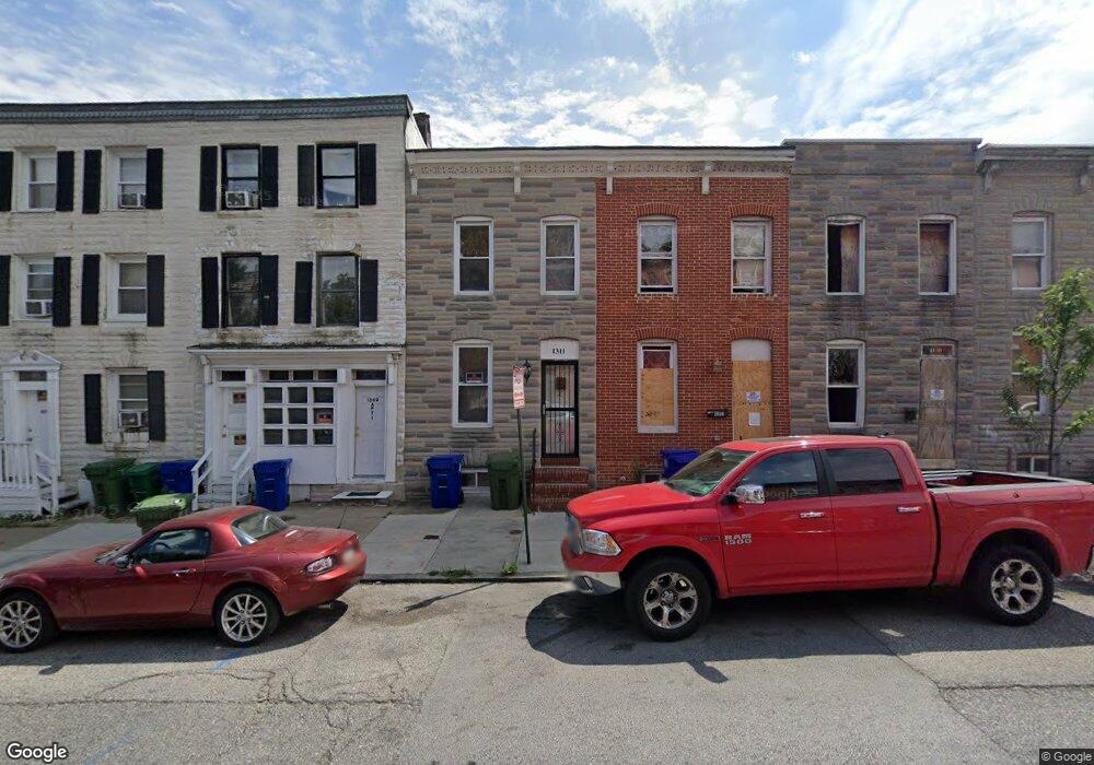
1311 W Pratt St Baltimore, MD 21223
Mount Clare NeighborhoodEstimated Value: $135,000 - $231,284
3
Beds
1
Bath
--
Sq Ft
1,307
Sq Ft Lot
About This Home
This home is located at 1311 W Pratt St, Baltimore, MD 21223 and is currently estimated at $183,142. 1311 W Pratt St is a home located in Baltimore City with nearby schools including Franklin Square Elementary/Middle School, Booker T. Washington Middle School, and Paul Laurence Dunbar High School.
Ownership History
Date
Name
Owned For
Owner Type
Purchase Details
Closed on
Mar 23, 2009
Sold by
Thomas Cular
Bought by
Thomas Cular and Thomas Pamela
Current Estimated Value
Purchase Details
Closed on
Oct 19, 1994
Sold by
Sterling Roger B
Bought by
Thomas Cular
Home Financials for this Owner
Home Financials are based on the most recent Mortgage that was taken out on this home.
Original Mortgage
$56,851
Interest Rate
8.49%
Create a Home Valuation Report for This Property
The Home Valuation Report is an in-depth analysis detailing your home's value as well as a comparison with similar homes in the area
Home Values in the Area
Average Home Value in this Area
Purchase History
| Date | Buyer | Sale Price | Title Company |
|---|---|---|---|
| Thomas Cular | -- | -- | |
| Thomas Cular | $56,900 | -- |
Source: Public Records
Mortgage History
| Date | Status | Borrower | Loan Amount |
|---|---|---|---|
| Previous Owner | Thomas Cular | $56,851 |
Source: Public Records
Tax History Compared to Growth
Tax History
| Year | Tax Paid | Tax Assessment Tax Assessment Total Assessment is a certain percentage of the fair market value that is determined by local assessors to be the total taxable value of land and additions on the property. | Land | Improvement |
|---|---|---|---|---|
| 2025 | $917 | $44,000 | -- | -- |
| 2024 | $917 | $43,000 | $0 | $0 |
| 2023 | $898 | $42,000 | $9,000 | $33,000 |
| 2022 | $868 | $40,667 | $0 | $0 |
| 2021 | $928 | $39,333 | $0 | $0 |
| 2020 | $809 | $38,000 | $7,000 | $31,000 |
| 2019 | $805 | $38,000 | $7,000 | $31,000 |
| 2018 | $819 | $38,000 | $7,000 | $31,000 |
| 2017 | $1,305 | $60,000 | $0 | $0 |
| 2016 | $1,421 | $60,000 | $0 | $0 |
| 2015 | $1,421 | $60,000 | $0 | $0 |
| 2014 | $1,421 | $60,000 | $0 | $0 |
Source: Public Records
Map
Nearby Homes
- 309 S Woodyear St
- 1342 Mchenry St
- 215 S Calhoun St
- 324 S Woodyear St
- 213 S Calhoun St
- 326 S Woodyear St
- 1304 W Pratt St
- 340 S Calhoun St
- 1220 W Pratt St
- 1216 W Pratt St
- 323 S Stricker St
- 1403 Ramsay St
- 113 S Stricker St
- 232 S Stricker St
- 308 S Stricker St
- 320 S Stricker St
- 1433 W Lombard St
- 1512 W Pratt St
- 1123 W Lombard St
- 200 S Parrish St
- 1313 W Pratt St
- 1309 W Pratt St
- 1315 W Pratt St
- 1307 W Pratt St
- 1317 W Pratt St
- 1319 W Pratt St
- 1305 W Pratt St Unit 2
- 1305 W Pratt St
- 1321 W Pratt St
- 1321 W Pratt St Unit 11
- 1301 W Pratt St
- 203 S Woodyear St
- 204 S Carey St
- 205 S Woodyear St
- 206 S Carey St
- 207 S Woodyear St
- 208 S Carey St
- 209 S Woodyear St
- 1323 W Pratt St
- 210 S Carey St