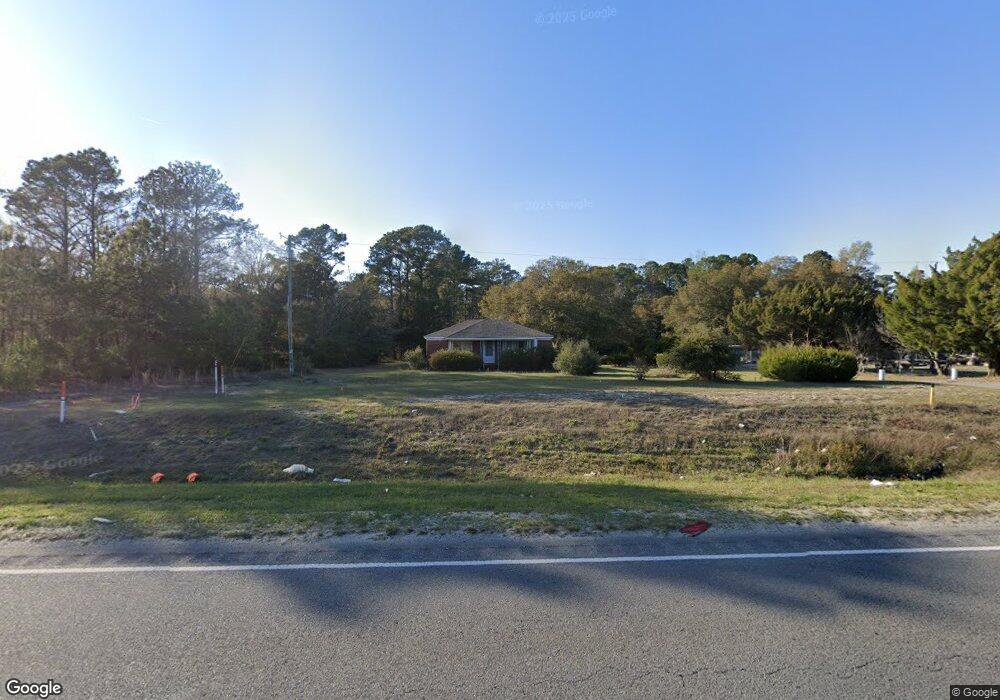
13111 Us Highway 17 N Hampstead, NC 28443
Estimated Value: $484,000 - $1,135,000
3
Beds
2
Baths
1,576
Sq Ft
$487/Sq Ft
Est. Value
About This Home
This home is located at 13111 Us Highway 17 N, Hampstead, NC 28443 and is currently estimated at $767,595, approximately $487 per square foot. 13111 Us Highway 17 N is a home located in Pender County with nearby schools including South Topsail Elementary School, Topsail Middle School, and Topsail High School.
Ownership History
Date
Name
Owned For
Owner Type
Purchase Details
Closed on
Apr 11, 2023
Sold by
Brown Earl and Brown Beulah
Bought by
Lbsc Properties Llc
Current Estimated Value
Home Financials for this Owner
Home Financials are based on the most recent Mortgage that was taken out on this home.
Original Mortgage
$510,000
Outstanding Balance
$493,835
Interest Rate
6.65%
Mortgage Type
New Conventional
Estimated Equity
$273,760
Purchase Details
Closed on
Sep 30, 2005
Sold by
Brown Ellen
Bought by
Brown Rosetta and Fair Beulah
Create a Home Valuation Report for This Property
The Home Valuation Report is an in-depth analysis detailing your home's value as well as a comparison with similar homes in the area
Home Values in the Area
Average Home Value in this Area
Purchase History
| Date | Buyer | Sale Price | Title Company |
|---|---|---|---|
| Lbsc Properties Llc | $680,000 | None Listed On Document | |
| Brown Rosetta | -- | -- | |
| Brown Rosetta | -- | -- |
Source: Public Records
Mortgage History
| Date | Status | Borrower | Loan Amount |
|---|---|---|---|
| Open | Lbsc Properties Llc | $510,000 |
Source: Public Records
Tax History
| Year | Tax Paid | Tax Assessment Tax Assessment Total Assessment is a certain percentage of the fair market value that is determined by local assessors to be the total taxable value of land and additions on the property. | Land | Improvement |
|---|---|---|---|---|
| 2025 | $1,335 | $198,274 | $198,274 | $0 |
| 2024 | $2,309 | $228,031 | $144,300 | $83,731 |
| 2023 | $2,309 | $228,031 | $144,300 | $83,731 |
| 2022 | $2,118 | $228,031 | $144,300 | $83,731 |
| 2021 | $1,305 | $228,031 | $144,300 | $83,731 |
| 2020 | $1,085 | $224,139 | $144,300 | $79,839 |
| 2019 | $1,658 | $224,139 | $144,300 | $79,839 |
| 2018 | $416 | $80,874 | $29,284 | $51,590 |
| 2017 | $416 | $80,874 | $29,284 | $51,590 |
| 2016 | $412 | $80,874 | $29,284 | $51,590 |
| 2015 | $412 | $80,874 | $29,284 | $51,590 |
| 2014 | $320 | $80,874 | $29,284 | $51,590 |
| 2013 | -- | $80,874 | $29,284 | $51,590 |
| 2012 | -- | $80,874 | $29,284 | $51,590 |
Source: Public Records
Map
Nearby Homes
- 13241 US Highway 17 N
- Tract 2 Christian Chapel Rd
- 350 Whitebridge Rd
- 105 Fletcher Ln
- 37 Twisted Oak Ct
- 21801 U S 17
- 38 Pin Oak Ct
- 33 Medina Ct
- 613 Hughes Rd
- 79 Colonial Heights Dr
- 10 Abaco Way
- 1438 Washington Acres Rd
- 802 Sound View Dr
- 314 E Rolling Meadows Rd
- 718 Hughes Rd
- 141 Dogwood Ln
- 39 Excalibur Point
- 119 Waters Edge
- Lot 0 State Highway 210
- Tract 2 State Highway 210
- 13175 Us Highway 17
- 13047 Us Highway 17 N
- 13011 Us Highway 17 N
- 13200 Us Highway 17
- 13285 Us Highway 17 N
- 13309 Us Highway 17
- 13305 Us Highway 17
- 301 Whitebridge Rd
- 115 Pearsons Ln
- 115 Pearsons Ln
- 000 Pearson Ln
- 115 Pearsons Ln
- 133 Pearsons Ln
- 133 Pearsons Ln
- 133 Pearsons Ln
- 310 Whitebridge Rd
- 235 Christian Chapel Rd
- 309 Whitebridge Rd
- 237 Pearsons Ln
- 237 Pearsons Ln
Your Personal Tour Guide
Ask me questions while you tour the home.