13115 Chardon Rd Mount Vernon, OH 43050
Estimated Value: $339,000 - $375,000
2
Beds
2
Baths
1,296
Sq Ft
$275/Sq Ft
Est. Value
About This Home
This home is located at 13115 Chardon Rd, Mount Vernon, OH 43050 and is currently estimated at $356,425, approximately $275 per square foot. 13115 Chardon Rd is a home with nearby schools including East Knox Elementary School and East Knox High School.
Ownership History
Date
Name
Owned For
Owner Type
Purchase Details
Closed on
Feb 20, 2025
Sold by
Teal Keystone Preservation Trust and Teal Michael
Bought by
Teal Michael W and Legros Jennifer L
Current Estimated Value
Purchase Details
Closed on
Aug 14, 2024
Sold by
Swihart Tracy and Teal Michael W
Bought by
Teal Michael W
Home Financials for this Owner
Home Financials are based on the most recent Mortgage that was taken out on this home.
Original Mortgage
$282,865
Interest Rate
6.77%
Mortgage Type
FHA
Create a Home Valuation Report for This Property
The Home Valuation Report is an in-depth analysis detailing your home's value as well as a comparison with similar homes in the area
Home Values in the Area
Average Home Value in this Area
Purchase History
| Date | Buyer | Sale Price | Title Company |
|---|---|---|---|
| Teal Michael W | -- | None Listed On Document | |
| Teal Michael W | -- | None Listed On Document | |
| Teal Michael W | -- | Westcor Land Title | |
| Teal Michael W | -- | Westcor Land Title |
Source: Public Records
Mortgage History
| Date | Status | Borrower | Loan Amount |
|---|---|---|---|
| Previous Owner | Teal Michael W | $282,865 |
Source: Public Records
Tax History Compared to Growth
Tax History
| Year | Tax Paid | Tax Assessment Tax Assessment Total Assessment is a certain percentage of the fair market value that is determined by local assessors to be the total taxable value of land and additions on the property. | Land | Improvement |
|---|---|---|---|---|
| 2024 | $3,497 | $85,620 | $17,550 | $68,070 |
| 2023 | $3,497 | $85,620 | $17,550 | $68,070 |
| 2022 | $3,116 | $68,490 | $14,040 | $54,450 |
| 2021 | $3,116 | $68,490 | $14,040 | $54,450 |
| 2020 | $3,077 | $68,490 | $14,040 | $54,450 |
| 2019 | $3,112 | $63,880 | $14,850 | $49,030 |
| 2018 | $2,915 | $63,880 | $14,850 | $49,030 |
| 2017 | $351 | $3,570 | $3,570 | $0 |
| 2016 | $0 | $0 | $0 | $0 |
Source: Public Records
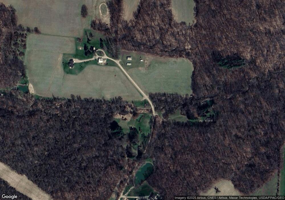
Map
Nearby Homes
- 13618 Gilchrist Rd
- 14021 Gilchrist Rd
- 11791 McManis Rd
- 12627 Upper Gilchrist Rd
- 20561 Canada Rd
- 17970 Scott Rd
- 104 Colonial Woods Dr Unit 4
- 117 Colonial Woods Dr
- 188 Plymouth Rd
- 0 Berry Rd
- 0 Berry Rd Unit 9067495
- 0 Berry Rd Unit 225024403
- 890 Winesap Dr
- 882 Winesap Dr
- 882 Winesap Dr Unit 197
- 17421 Coshocton Rd
- 1709 Apple Valley Dr
- 0 Monroe Mills Rd
- 0 Greenlawn Dr Unit 225012211
- 0 Greenlawn Dr Unit 20250232
- 12953 Chardon Rd
- 0 Chardon Rd
- 12860 Chardon Rd
- 12740 Chardon Rd
- 124540 Vincent Rd
- 13566 Gilchrist Rd
- 13568 Gilchrist Rd
- 12721 Vincent Rd
- 13562 Gilchrist Rd
- 12517 Vincent Rd
- 12775 Vincent Rd
- 12443 Vincent Rd
- 12680 Vincent Rd
- 12760 Vincent Rd
- 12640 Vincent Rd
- 12572 Vincent Rd
- 12722 Vincent Rd
- 12826 Vincent Rd
- 12800 Vincent Rd
- 12780 Vincent Rd