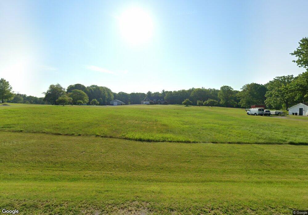
13116 Belsay Rd Millington, MI 48746
Estimated Value: $333,000 - $789,561
4
Beds
3
Baths
3,156
Sq Ft
$178/Sq Ft
Est. Value
About This Home
This home is located at 13116 Belsay Rd, Millington, MI 48746 and is currently estimated at $561,281, approximately $177 per square foot. 13116 Belsay Rd is a home located in Genesee County with nearby schools including Meachum Elementary, Millington Junior High School, and Millington High School.
Ownership History
Date
Name
Owned For
Owner Type
Purchase Details
Closed on
Mar 2, 2015
Sold by
Pennington Brian C and Pennington Linda M
Bought by
Pennington Nicholas D and Pennington Kathryn L
Current Estimated Value
Purchase Details
Closed on
Oct 6, 2011
Sold by
Pennington Brian C and A & E Pennington Family Trust
Bought by
Pennington Brian C
Purchase Details
Closed on
May 1, 1997
Sold by
Pennington Alfred C and Pennington Edna L
Bought by
Pennington Alfred C and Pennington Edna L
Create a Home Valuation Report for This Property
The Home Valuation Report is an in-depth analysis detailing your home's value as well as a comparison with similar homes in the area
Home Values in the Area
Average Home Value in this Area
Purchase History
| Date | Buyer | Sale Price | Title Company |
|---|---|---|---|
| Pennington Nicholas D | -- | None Available | |
| Pennington Brian C | -- | Sargents Title Company | |
| Pennington Alfred C | -- | -- |
Source: Public Records
Tax History Compared to Growth
Tax History
| Year | Tax Paid | Tax Assessment Tax Assessment Total Assessment is a certain percentage of the fair market value that is determined by local assessors to be the total taxable value of land and additions on the property. | Land | Improvement |
|---|---|---|---|---|
| 2025 | $6,863 | $377,900 | $0 | $0 |
| 2024 | $2,792 | $367,000 | $0 | $0 |
| 2023 | $2,664 | $339,900 | $0 | $0 |
| 2022 | $6,138 | $274,800 | $0 | $0 |
| 2021 | $6,099 | $247,100 | $0 | $0 |
| 2020 | $2,437 | $225,000 | $0 | $0 |
| 2019 | $2,398 | $224,200 | $0 | $0 |
| 2018 | $5,021 | $205,500 | $0 | $0 |
| 2017 | $4,498 | $158,300 | $0 | $0 |
| 2016 | $871 | $15,900 | $0 | $0 |
| 2015 | $665 | $15,500 | $0 | $0 |
| 2014 | $170 | $15,500 | $0 | $0 |
| 2012 | -- | $15,000 | $15,000 | $0 |
Source: Public Records
Map
Nearby Homes
- 6392 Lake Rd
- 14017 Belsay Rd
- 5377 E Vienna Rd
- 11382 N Belsay Rd
- 0 Taylor Rd
- 14185 Taylor Rd
- 14392 Vassar Rd
- 12407 Irish Rd
- 12525 Irish Rd
- 12185 Irish Rd
- 0 Irish Rd Unit 50194364
- Lot E Lake Rd
- 0 E Wilson Rd Unit 20221009599
- 0 E Wilson Rd Unit 50086153
- 0 Farrand Rd Unit 50166883
- 10415 N Genesee Rd
- 12441 Irish Rd
- 13056 N Bray Rd
- 4442 E Wilson Rd
- 5794 Arbela Rd
- 13068 Belsay Rd
- 13140 Belsay Rd
- 6027 Farrand Rd
- 6077 Farrand Rd
- 6097 Farrand Rd
- 6077 E Farrand Rd
- 6049 Farrand Rd
- 6115 Farrand Rd
- 13220 Belsay Rd
- 6181 Farrand Rd
- 5445 E Farrand Rd
- 13270 Belsay Rd
- 13270 Belsay Rd
- 13288 Belsay Rd
- 5496 E Farrand Rd
- 5413 E Farrand Rd
- 6384 Farrand Rd
- 5462 E Farrand Rd
- 13302 Belsay Rd
- 13322 N Belsay Rd
