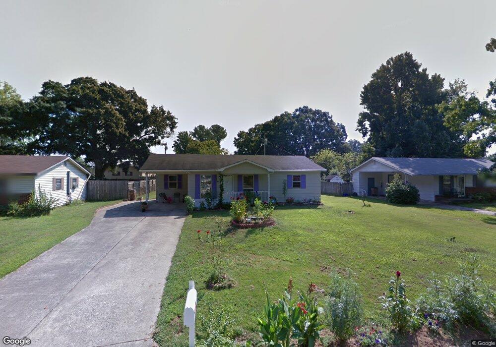
1312 1st Ave SW Decatur, AL 35601
Estimated Value: $57,000 - $137,000
--
Bed
--
Bath
936
Sq Ft
$109/Sq Ft
Est. Value
About This Home
This home is located at 1312 1st Ave SW, Decatur, AL 35601 and is currently estimated at $102,449, approximately $109 per square foot. 1312 1st Ave SW is a home located in Morgan County with nearby schools including Banks-Caddell Elementary School, Brookhaven Middle School, and Austin High School.
Ownership History
Date
Name
Owned For
Owner Type
Purchase Details
Closed on
Feb 28, 2022
Sold by
Reeves Bobby R
Bought by
Matias Jose Luis Perez and Matias Diego Juana
Current Estimated Value
Purchase Details
Closed on
Jan 23, 2013
Sold by
Cunningham Bonnie C
Bought by
Reeves Bobby R
Purchase Details
Closed on
Oct 17, 2011
Sold by
Reeves Bobby R
Bought by
Cunningham Bonnie C
Home Financials for this Owner
Home Financials are based on the most recent Mortgage that was taken out on this home.
Original Mortgage
$57,007
Interest Rate
4.26%
Mortgage Type
Seller Take Back
Create a Home Valuation Report for This Property
The Home Valuation Report is an in-depth analysis detailing your home's value as well as a comparison with similar homes in the area
Home Values in the Area
Average Home Value in this Area
Purchase History
| Date | Buyer | Sale Price | Title Company |
|---|---|---|---|
| Matias Jose Luis Perez | $46,000 | -- | |
| Reeves Bobby R | $56,412 | None Available | |
| Cunningham Bonnie C | -- | None Available |
Source: Public Records
Mortgage History
| Date | Status | Borrower | Loan Amount |
|---|---|---|---|
| Previous Owner | Cunningham Bonnie C | $57,007 |
Source: Public Records
Tax History Compared to Growth
Tax History
| Year | Tax Paid | Tax Assessment Tax Assessment Total Assessment is a certain percentage of the fair market value that is determined by local assessors to be the total taxable value of land and additions on the property. | Land | Improvement |
|---|---|---|---|---|
| 2024 | $212 | $5,720 | $840 | $4,880 |
| 2023 | $191 | $5,250 | $840 | $4,410 |
| 2022 | $476 | $10,500 | $1,680 | $8,820 |
| 2021 | $441 | $9,740 | $1,680 | $8,060 |
| 2020 | $441 | $9,740 | $1,680 | $8,060 |
| 2019 | $441 | $9,740 | $0 | $0 |
| 2015 | $439 | $9,700 | $0 | $0 |
| 2014 | $439 | $9,700 | $0 | $0 |
| 2013 | -- | $4,580 | $0 | $0 |
Source: Public Records
Map
Nearby Homes
- 120 Beard St SW
- 116 Daniel St SW
- 1519 Phillips Ave SW
- 1606 3rd Ave SW
- 405 Beard St SW
- 504 Betty St SW
- 1007 Honeysuckle Ln SW
- 1403 7th Ave SE
- 216 Austinville Rd SW
- 420 Autumnwood Dr SW
- 1003 8th Ave SW
- 430 Autumnwood Dr SW
- 819 3rd Ave SE
- 456 Autumnwood Dr SW
- 1210 9th Ave SE
- 428 Carridale St SW
- 1910 Ewell St SW
- 1019 9th Ave SE
- 434 Carridale St SW
- 909 7th Ave SE
- 1314 1st Ave SW
- 1310 1st Ave SW
- 119 Cecil St SW
- 1316 1st Ave SW
- 1311 1st Ave SW
- 1313 1st Ave SW
- 1308 1st Ave SW
- 117 Cecil St SW
- 1309 1st Ave SW
- 1315 1st Ave SW
- 118 Beard St SW
- 1307 1st Ave SW
- 120 Cecil St SW
- 1402 1st Ave SW
- 1306 1st Ave SW
- 115 Cecil St SW
- 116 Beard St SW
- 118 Cecil St SW
- 1305 1st Ave SW
- 119 Beard St SW