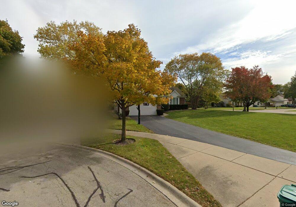
1312 Crossfield Ct Buffalo Grove, IL 60089
Estimated Value: $534,000 - $687,000
3
Beds
3
Baths
1,409
Sq Ft
$432/Sq Ft
Est. Value
About This Home
This home is located at 1312 Crossfield Ct, Buffalo Grove, IL 60089 and is currently estimated at $609,088, approximately $432 per square foot. 1312 Crossfield Ct is a home located in Lake County with nearby schools including Meridian Middle School, Tripp Elementary School, and Aptakisic Junior High School.
Ownership History
Date
Name
Owned For
Owner Type
Purchase Details
Closed on
Nov 6, 2008
Sold by
Jabeck Laura
Bought by
Delevitt Cortney Sachs
Current Estimated Value
Home Financials for this Owner
Home Financials are based on the most recent Mortgage that was taken out on this home.
Original Mortgage
$412,000
Interest Rate
6.09%
Mortgage Type
Purchase Money Mortgage
Purchase Details
Closed on
Jan 10, 2001
Sold by
Jabeck Richard
Bought by
Jabeck Laura
Create a Home Valuation Report for This Property
The Home Valuation Report is an in-depth analysis detailing your home's value as well as a comparison with similar homes in the area
Home Values in the Area
Average Home Value in this Area
Purchase History
| Date | Buyer | Sale Price | Title Company |
|---|---|---|---|
| Delevitt Cortney Sachs | $430,000 | Republic Title | |
| Jabeck Laura | -- | -- |
Source: Public Records
Mortgage History
| Date | Status | Borrower | Loan Amount |
|---|---|---|---|
| Closed | Delevitt Cortney Sachs | $412,000 |
Source: Public Records
Tax History Compared to Growth
Tax History
| Year | Tax Paid | Tax Assessment Tax Assessment Total Assessment is a certain percentage of the fair market value that is determined by local assessors to be the total taxable value of land and additions on the property. | Land | Improvement |
|---|---|---|---|---|
| 2024 | $14,009 | $158,566 | $44,091 | $114,475 |
| 2023 | $12,852 | $136,017 | $37,821 | $98,196 |
| 2022 | $12,852 | $131,543 | $36,577 | $94,966 |
| 2021 | $12,402 | $130,125 | $36,183 | $93,942 |
| 2020 | $12,158 | $130,568 | $36,306 | $94,262 |
| 2019 | $11,832 | $130,087 | $36,172 | $93,915 |
| 2018 | $12,586 | $137,982 | $43,690 | $94,292 |
| 2017 | $12,429 | $134,761 | $42,670 | $92,091 |
| 2016 | $12,020 | $129,044 | $40,860 | $88,184 |
| 2015 | $11,820 | $120,681 | $38,212 | $82,469 |
| 2014 | $11,271 | $113,792 | $41,040 | $72,752 |
| 2012 | $11,108 | $114,020 | $41,122 | $72,898 |
Source: Public Records
Map
Nearby Homes
- 15 Thompson Ct
- 1272 Sandhurst Dr
- 148 White Branch Ct
- 1012 Hobson Dr
- 1113 Lockwood Dr
- 938 Hidden Lake Dr
- 1118 Larraway Dr
- 1157 Russellwood Ct
- 60 E Fabish Dr
- 538 Lasalle Ct
- 51 W Fabish Dr
- 22118 N Prairie Rd
- 381 Bentley Place
- 16202 W Aptakisic Rd
- 268 Hoffmann Dr
- 327 Lasalle Ln
- 720 Dunhill Dr
- 361 Hoffmann Dr
- 2033 Olive Hill Dr
- 12 Aberdeen Ct
- 1322 Crossfield Ct
- 1332 Crossfield Ct
- 1297 Sandhurst Dr
- 1298 Sandhurst Dr
- 11 Copperwood Dr
- 1342 Crossfield Ct
- 17 Copperwood Dr
- 1372 Crossfield Ct
- 1382 Crossfield Ct
- 1362 Crossfield Ct
- 21 Copperwood Dr
- 1293 Sandhurst Dr
- 1352 Crossfield Ct
- 1294 Sandhurst Dr
- 27 Copperwood Dr
- 1287 Sandhurst Dr
- 25 Thompson Ct
- 1292 Sandhurst Dr
- 17 Newfield Dr
- 1336 Berkley Ct