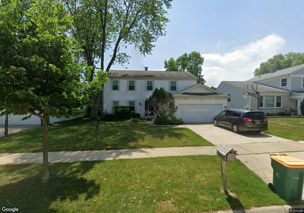
1312 Devonshire Rd Buffalo Grove, IL 60089
Prairie Park-Lake County NeighborhoodEstimated Value: $524,268 - $626,000
Studio
3
Baths
2,199
Sq Ft
$259/Sq Ft
Est. Value
About This Home
This home is located at 1312 Devonshire Rd, Buffalo Grove, IL 60089 and is currently estimated at $569,317, approximately $258 per square foot. 1312 Devonshire Rd is a home located in Lake County with nearby schools including Prairie Elementary School, Twin Groves Middle School, and Adlai E Stevenson High School.
Ownership History
Date
Name
Owned For
Owner Type
Purchase Details
Closed on
Nov 30, 2005
Sold by
Solovy Stephanie J and Solovy Jay
Bought by
Solovy Jay and Solovy Stephanie J
Current Estimated Value
Purchase Details
Closed on
Mar 10, 2005
Sold by
Gebler Steven H and Gebler Helen S
Bought by
Solovy Jay and Osheff Stephanie J
Home Financials for this Owner
Home Financials are based on the most recent Mortgage that was taken out on this home.
Original Mortgage
$344,000
Outstanding Balance
$166,152
Interest Rate
5.61%
Mortgage Type
Purchase Money Mortgage
Estimated Equity
$403,165
Purchase Details
Closed on
Jul 21, 1998
Sold by
Gebler Steven H and Gebler Helen S
Bought by
Gebler Steven H and Gebler Helen S
Create a Home Valuation Report for This Property
The Home Valuation Report is an in-depth analysis detailing your home's value as well as a comparison with similar homes in the area
Home Values in the Area
Average Home Value in this Area
Purchase History
| Date | Buyer | Sale Price | Title Company |
|---|---|---|---|
| Solovy Jay | -- | None Available | |
| Solovy Jay | $430,000 | Fidelity Natl Title Ins Co | |
| Gebler Steven H | -- | -- |
Source: Public Records
Mortgage History
| Date | Status | Borrower | Loan Amount |
|---|---|---|---|
| Open | Solovy Jay | $344,000 |
Source: Public Records
Tax History
| Year | Tax Paid | Tax Assessment Tax Assessment Total Assessment is a certain percentage of the fair market value that is determined by local assessors to be the total taxable value of land and additions on the property. | Land | Improvement |
|---|---|---|---|---|
| 2025 | $14,737 | $175,452 | $37,289 | $138,163 |
| 2024 | $14,282 | $156,034 | $33,162 | $122,872 |
| 2023 | $13,534 | $147,230 | $31,291 | $115,939 |
| 2022 | $13,534 | $135,794 | $28,860 | $106,934 |
| 2021 | $13,021 | $134,330 | $28,549 | $105,781 |
| 2020 | $12,714 | $134,788 | $28,646 | $106,142 |
| 2019 | $12,539 | $134,291 | $28,540 | $105,751 |
| 2018 | $11,803 | $133,606 | $28,208 | $105,398 |
| 2017 | $11,859 | $130,488 | $27,550 | $102,938 |
| 2016 | $11,550 | $124,952 | $26,381 | $98,571 |
| 2015 | $11,245 | $116,854 | $24,671 | $92,183 |
| 2014 | $10,095 | $104,091 | $26,495 | $77,596 |
| 2012 | $9,782 | $104,300 | $26,548 | $77,752 |
Source: Public Records
Map
Nearby Homes
- 958 Chaucer Way
- 1275 Ranchview Ct
- 962 Thompson Blvd
- 1120 Courtland Dr
- 1124 Brandywyn Ct
- 1150 Thompson Blvd
- 327 Lasalle Ln
- 5176 Aptakisic Rd
- 5107 N Arlington Heights Rd
- 5152 Bridlewood Ln
- 525 Lasalle Ln
- 5135 Bridlewood Ct
- 421 Thompson Blvd
- 405 Caren Dr
- 1480 Fairfax Ln
- 711 Woodhollow Ln
- 879 Saybrook Ln
- 1602 Brittany Ln
- 924 Hidden Lake Dr
- 1516 Anderson Ln Unit I7
- 1314 Devonshire Rd
- 1310 Devonshire Rd
- 824 Dannet Rd
- 820 Dannet Rd
- 1316 Devonshire Rd
- 900 Dannet Rd
- 1308 Devonshire Rd
- 904 Dannet Rd
- 816 Dannet Rd
- 1313 Devonshire Rd
- 1315 Devonshire Rd
- 1311 Devonshire Rd
- 1320 Devonshire Rd
- 1306 Devonshire Rd
- 1309 Devonshire Rd
- 1317 Devonshire Rd
- 812 Dannet Rd
- 1330 Devonshire Rd
- 1307 Devonshire Rd
- 1319 Devonshire Rd
Your Personal Tour Guide
Ask me questions while you tour the home.