1312 Innisfree Circle Dr Wright City, MO 63390
Estimated Value: $560,716 - $604,000
2
Beds
2
Baths
1,472
Sq Ft
$396/Sq Ft
Est. Value
About This Home
This home is located at 1312 Innisfree Circle Dr, Wright City, MO 63390 and is currently estimated at $582,179, approximately $395 per square foot. 1312 Innisfree Circle Dr is a home located in Warren County with nearby schools including Wright City West Elementary School, Wright City East Elementary School, and Wright City Middle School.
Ownership History
Date
Name
Owned For
Owner Type
Purchase Details
Closed on
May 24, 2021
Sold by
Harmon Robert W
Bought by
Harmon Colleen Goldkamp
Current Estimated Value
Purchase Details
Closed on
Nov 28, 2011
Sold by
Smegner Sharon and Rosenthal Marjorie
Bought by
Harmon Robert
Purchase Details
Closed on
Jul 11, 2006
Sold by
Murphy Samuel B and Murphy Geralyn M
Bought by
Smegner Sharon K and Rosenthal Marjorie
Home Financials for this Owner
Home Financials are based on the most recent Mortgage that was taken out on this home.
Original Mortgage
$216,800
Interest Rate
6.67%
Mortgage Type
New Conventional
Create a Home Valuation Report for This Property
The Home Valuation Report is an in-depth analysis detailing your home's value as well as a comparison with similar homes in the area
Purchase History
| Date | Buyer | Sale Price | Title Company |
|---|---|---|---|
| Harmon Colleen Goldkamp | -- | -- | |
| Harmon Robert | -- | None Available | |
| Smegner Sharon K | -- | None Available |
Source: Public Records
Mortgage History
| Date | Status | Borrower | Loan Amount |
|---|---|---|---|
| Previous Owner | Smegner Sharon K | $216,800 |
Source: Public Records
Tax History
| Year | Tax Paid | Tax Assessment Tax Assessment Total Assessment is a certain percentage of the fair market value that is determined by local assessors to be the total taxable value of land and additions on the property. | Land | Improvement |
|---|---|---|---|---|
| 2025 | $2,635 | $41,245 | $12,057 | $29,188 |
| 2024 | $2,635 | $36,500 | $10,670 | $25,830 |
| 2023 | $2,281 | $36,500 | $10,670 | $25,830 |
| 2022 | $2,123 | $33,797 | $9,880 | $23,917 |
| 2021 | $2,123 | $33,655 | $9,880 | $23,775 |
| 2020 | $2,118 | $33,655 | $9,880 | $23,775 |
| 2019 | $2,111 | $33,655 | $0 | $0 |
| 2017 | $2,040 | $33,655 | $0 | $0 |
| 2016 | $2,039 | $33,655 | $0 | $0 |
| 2015 | -- | $33,655 | $0 | $0 |
| 2011 | -- | $33,660 | $0 | $0 |
Source: Public Records
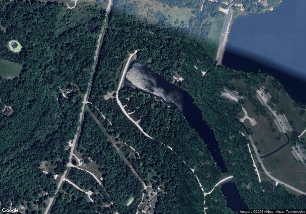
Map
Nearby Homes
- 0 Mark Peterson Dr
- 0-1 Mark Peterson Dr
- 799 S Aspen Point Dr
- 540 Lorraine Lake Dr
- 515 Mountain View Dr
- 515 Whippoorwill Way Dr
- 647 W Saint Gallen Dr
- 834 Mitten Ridge Dr
- 835 Mitten Ridge Dr
- 23001 Abrolat Rd
- 23012 Abrolat Tract 7
- 23001 Abrolat Tract 2
- 23001 Abrolat Tract 6
- 23001 Abrolat Tract 5
- 23023 Abrolat Tract 4
- 23023 Abrolat Tract 3
- 22643 Abrolat Tract 1
- 145 E Innsbrook Circle Dr
- 2142 Meadow Valley Dr
- 900 Silver Fox Dr
- 1311 Innisfree Circle Dr
- 1313 Innisfree View Dr
- 1310 Innisfree Circle Dr
- 1315 Innisfree Circle Dr
- 1302 Innisfree Circle Dr
- 1306 Innisfree Circle Dr
- 600 Innisfree Circle Dr
- 606 Innisfree Circle Dr
- 1311 Innsisfree Circle Dr
- 1305 Innisfree Circle Dr
- 1303 Innisfree Circle Dr
- 1307 Innisfree Circle Dr
- 598 Innisfree Lake Dr
- 11 Lionshead Ridge Dr
- 12 Lionshead Ridge Dr
- 1317 Innisfree Circle Dr
- 13 Lionshead Ridge Dr
- 599 Innisfree Lake Dr
- 14 Lionshead Ridge Dr
- 14 Iionshead Ridge
Your Personal Tour Guide
Ask me questions while you tour the home.