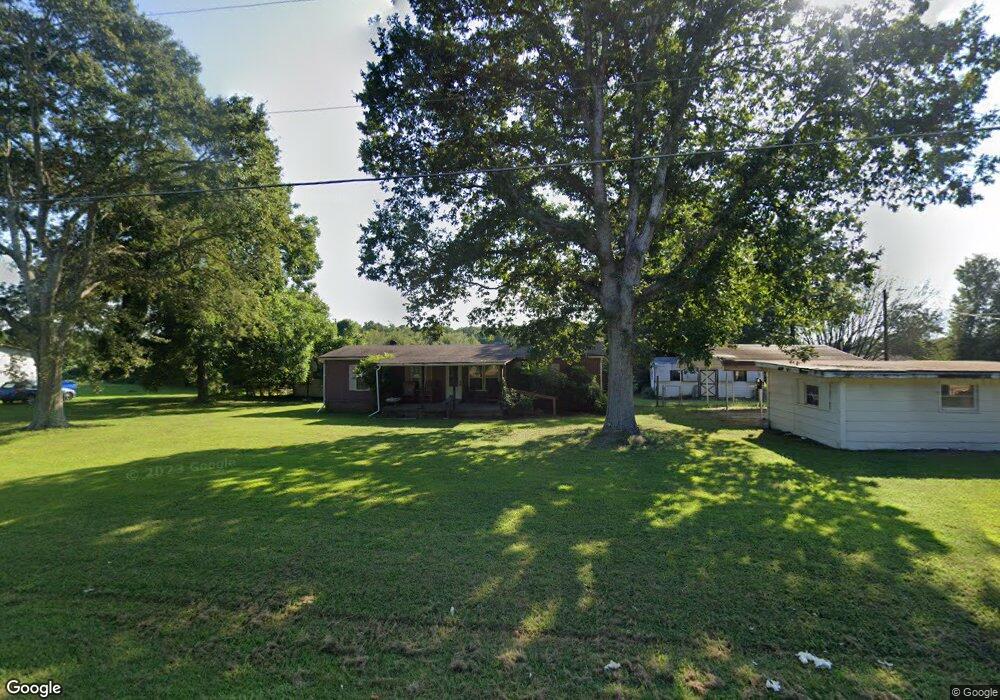
1312 Longbranch Rd Grover, NC 28073
Estimated Value: $150,315 - $256,000
--
Bed
--
Bath
1,722
Sq Ft
$125/Sq Ft
Est. Value
About This Home
This home is located at 1312 Longbranch Rd, Grover, NC 28073 and is currently estimated at $216,079, approximately $125 per square foot. 1312 Longbranch Rd is a home located in Cleveland County with nearby schools including Grover Elementary School, Kings Mountain Middle, and Kings Mountain Intermediate School.
Ownership History
Date
Name
Owned For
Owner Type
Purchase Details
Closed on
Mar 20, 2018
Sold by
Charlotte W Hicks
Bought by
Haynes Danielle
Current Estimated Value
Home Financials for this Owner
Home Financials are based on the most recent Mortgage that was taken out on this home.
Original Mortgage
$122,100
Outstanding Balance
$104,778
Interest Rate
4.44%
Estimated Equity
$111,301
Purchase Details
Closed on
Oct 23, 2014
Sold by
Hicks Charlotte W
Bought by
Haynes John Robert and Hicks Charlotte W
Create a Home Valuation Report for This Property
The Home Valuation Report is an in-depth analysis detailing your home's value as well as a comparison with similar homes in the area
Home Values in the Area
Average Home Value in this Area
Purchase History
| Date | Buyer | Sale Price | Title Company |
|---|---|---|---|
| Haynes Danielle | -- | -- | |
| Haynes John Robert | -- | None Available |
Source: Public Records
Mortgage History
| Date | Status | Borrower | Loan Amount |
|---|---|---|---|
| Open | Haynes Danielle | $122,100 | |
| Closed | Haynes Danielle | -- |
Source: Public Records
Tax History Compared to Growth
Tax History
| Year | Tax Paid | Tax Assessment Tax Assessment Total Assessment is a certain percentage of the fair market value that is determined by local assessors to be the total taxable value of land and additions on the property. | Land | Improvement |
|---|---|---|---|---|
| 2025 | $547 | $86,071 | $18,292 | $67,779 |
| 2024 | $489 | $51,458 | $15,820 | $35,638 |
| 2023 | $487 | $51,458 | $15,820 | $35,638 |
| 2022 | $487 | $51,458 | $15,820 | $35,638 |
| 2021 | $487 | $51,458 | $15,820 | $35,638 |
| 2020 | $475 | $48,488 | $14,468 | $34,020 |
| 2019 | $475 | $48,488 | $14,468 | $34,020 |
| 2018 | $467 | $48,488 | $14,468 | $34,020 |
| 2017 | $416 | $42,419 | $23,973 | $18,446 |
| 2016 | $397 | $42,419 | $23,973 | $18,446 |
| 2015 | $389 | $41,361 | $20,316 | $21,045 |
| 2014 | $389 | $41,361 | $20,316 | $21,045 |
Source: Public Records
Map
Nearby Homes
- 132 Hicks Rd Unit 1
- 101 Melvin Ct
- 111 Hicks Rd Unit 9
- 203 Bethlehem Church Rd
- 00 Bethlehem Church Rd
- 210 Roy Bell Rd
- 811 Cleveland Ave
- 131 Sam Smith Dr
- 105 Elm Rd
- 764 S Battleground Ave
- 308 M H Camp Hwy
- 114 Brenda Ct
- 101 Park Ln
- 219 Watterson Rd
- 716 Mcdaniel Rd
- 129 Lakeview Dr
- 117 Remington Dr
- 00 Bunny Run
- 0 Pinewood Dr
- 907 Bethlehem Rd
- 1316 Long Branch Rd
- 1313 Long Branch Rd
- 1308 Longbranch Rd
- 1311 Longbranch Rd
- 1318 Longbranch Rd
- 1315 Longbranch Rd
- 1309 Longbranch Rd
- 1307 Longbranch Rd
- 1306 Long Branch Rd
- 1305 Longbranch Rd
- 1319 Longbranch Rd
- 1314 Long Branch Rd
- 1326 Long Branch Rd
- 0 Long Branch Rd Unit 2084153
- 0 Long Branch Rd Unit L - 117 3239598
- 1321 Longbranch Rd
- 103 Truhlar Dr
- 1320 Longbranch Rd
- 1320 Longbranch Rd Unit 4
- 1323 Longbranch Rd