1312 Michael Ct Unit 1576 Bayside, NY 11360
Bayside NeighborhoodEstimated Value: $984,966 - $1,356,000
Studio
--
Bath
1,940
Sq Ft
$575/Sq Ft
Est. Value
About This Home
This home is located at 1312 Michael Ct Unit 1576, Bayside, NY 11360 and is currently estimated at $1,116,242, approximately $575 per square foot. 1312 Michael Ct Unit 1576 is a home located in Queens County with nearby schools including P.S. 209 - Clearview Gardens, J.H.S. 194 William Carr, and Bayside High School.
Ownership History
Date
Name
Owned For
Owner Type
Purchase Details
Closed on
Aug 5, 2014
Sold by
Kim Hag K and Kim Pil J
Bought by
Kim Pil J
Current Estimated Value
Purchase Details
Closed on
Nov 13, 1996
Sold by
Goldstein David and Goldstein Sharon
Bought by
Kim Hag K and Kim Pil Ja
Home Financials for this Owner
Home Financials are based on the most recent Mortgage that was taken out on this home.
Original Mortgage
$200,000
Interest Rate
7.02%
Mortgage Type
Purchase Money Mortgage
Create a Home Valuation Report for This Property
The Home Valuation Report is an in-depth analysis detailing your home's value as well as a comparison with similar homes in the area
Home Values in the Area
Average Home Value in this Area
Purchase History
| Date | Buyer | Sale Price | Title Company |
|---|---|---|---|
| Kim Pil J | -- | -- | |
| Kim Hag K | $345,000 | Commonwealth Land Title Ins |
Source: Public Records
Mortgage History
| Date | Status | Borrower | Loan Amount |
|---|---|---|---|
| Previous Owner | Kim Hag K | $200,000 |
Source: Public Records
Tax History
| Year | Tax Paid | Tax Assessment Tax Assessment Total Assessment is a certain percentage of the fair market value that is determined by local assessors to be the total taxable value of land and additions on the property. | Land | Improvement |
|---|---|---|---|---|
| 2025 | $3,822 | $46,003 | $4,120 | $41,883 |
| 2024 | $3,926 | $45,656 | $4,466 | $41,190 |
| 2023 | $3,562 | $43,073 | $3,755 | $39,318 |
| 2022 | $3,191 | $54,527 | $5,096 | $49,431 |
| 2021 | $3,375 | $48,426 | $5,096 | $43,330 |
| 2020 | $3,398 | $48,893 | $5,096 | $43,797 |
| 2019 | $3,320 | $49,361 | $5,096 | $44,265 |
| 2018 | $2,999 | $35,894 | $4,988 | $30,906 |
| 2017 | $2,805 | $33,863 | $4,804 | $29,059 |
| 2016 | $2,572 | $33,863 | $4,804 | $29,059 |
| 2015 | $3,633 | $31,947 | $4,470 | $27,477 |
| 2014 | $3,633 | $31,707 | $4,487 | $27,220 |
Source: Public Records
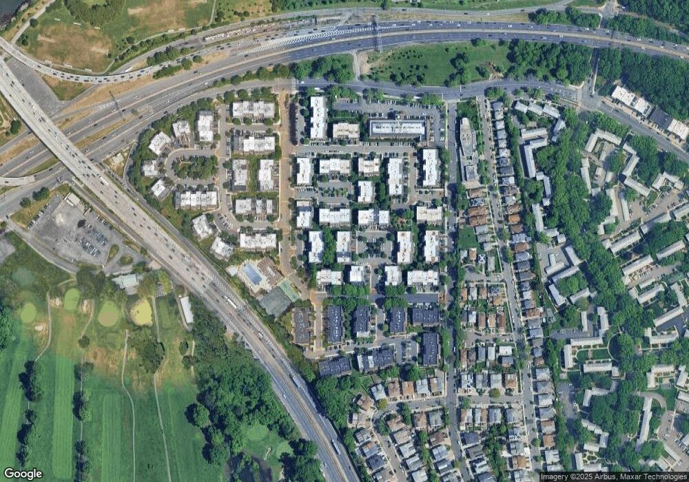
Map
Nearby Homes
- 20701 Estates Dr Unit 2nd FL - Unit 146M
- 13-25 Estates Ln Unit 3F
- 14-14 Bonnie Ln
- 20716 Melissa Ct Unit 1653
- 20617 Lori Dr Unit 1166
- 208-08 Estates Dr Unit 22125
- 12-29 Estates Ln
- 1229 Estates Ln Unit TRIPLEX
- 12-32 Diane Place Unit 204L
- 12-31 Robin Ln Unit Triplex
- 1324 Robin Ln Unit 1195
- 208-06 Robert Rd Unit 2
- 210 E 15th St Unit 2D
- 210 E 15th St Unit 9L
- 210 E 15th St Unit 5H
- 208-18 15th Rd
- 12-06 Robin Ln Unit 1028
- 13-31 209th St
- 1423 209th St
- 13-16 212th St Unit Upper
- 13-12 Michael Ct
- 13-12 Michael Ct Unit 1st FL
- 1312 Michael Ct
- 1312 Michael Ct Unit 154
- 1312 Michael Ct Unit 1
- 1312 Michael Ct Unit 1st FL
- 1312 Michael Ct
- 1312 Michael Ct Unit 1575
- 1310 Michael Ct Unit Lower
- 1310 Michael Ct
- 1310 Michael Ct
- 1310 Michael Ct
- 13-14 Michael Ct
- 13-14 Michael Ct Unit 155 L
- 1314 Michael Ct
- 1314 Michael Ct
- 1314 Michael Ct Unit 1578
- 1314 Michael Ct Unit 1577
- 1314 Michael Ct Unit L
- 13-10 Michael Ct
Your Personal Tour Guide
Ask me questions while you tour the home.