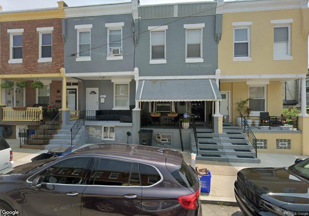
1312 Narragansett St Philadelphia, PA 19138
East Germantown NeighborhoodEstimated Value: $122,000 - $204,000
3
Beds
1
Bath
1,260
Sq Ft
$122/Sq Ft
Est. Value
About This Home
This home is located at 1312 Narragansett St, Philadelphia, PA 19138 and is currently estimated at $153,143, approximately $121 per square foot. 1312 Narragansett St is a home located in Philadelphia County with nearby schools including Martin Luther King High School, West Oak Lane Charter School, and Mastery Charter School - Francis D. Pastorius Elemen.
Ownership History
Date
Name
Owned For
Owner Type
Purchase Details
Closed on
Jul 24, 2017
Sold by
Hsbc Bank Usa Natioanl Asscation
Bought by
Rogers Tiana Diamond
Current Estimated Value
Purchase Details
Closed on
Feb 7, 2017
Sold by
Scott Jonathan
Bought by
Hsbc Bank Usa National Association
Purchase Details
Closed on
Jul 30, 1999
Sold by
Murph Effie L and Murph Brenda J
Bought by
Scott Jonathan
Create a Home Valuation Report for This Property
The Home Valuation Report is an in-depth analysis detailing your home's value as well as a comparison with similar homes in the area
Home Values in the Area
Average Home Value in this Area
Purchase History
| Date | Buyer | Sale Price | Title Company |
|---|---|---|---|
| Rogers Tiana Diamond | $22,500 | Bay National Title Co | |
| Hsbc Bank Usa National Association | $15,000 | None Available | |
| Scott Jonathan | $39,900 | -- |
Source: Public Records
Tax History Compared to Growth
Tax History
| Year | Tax Paid | Tax Assessment Tax Assessment Total Assessment is a certain percentage of the fair market value that is determined by local assessors to be the total taxable value of land and additions on the property. | Land | Improvement |
|---|---|---|---|---|
| 2025 | $1,459 | $140,800 | $28,160 | $112,640 |
| 2024 | $1,459 | $140,800 | $28,160 | $112,640 |
| 2023 | $1,459 | $104,200 | $20,840 | $83,360 |
| 2022 | $332 | $59,200 | $20,840 | $38,360 |
| 2021 | $962 | $0 | $0 | $0 |
| 2020 | $962 | $0 | $0 | $0 |
| 2019 | $1,004 | $0 | $0 | $0 |
| 2018 | $1,053 | $0 | $0 | $0 |
| 2017 | $1,053 | $0 | $0 | $0 |
| 2016 | $1,053 | $0 | $0 | $0 |
| 2015 | $1,142 | $0 | $0 | $0 |
| 2014 | -- | $85,200 | $6,496 | $78,704 |
| 2012 | -- | $10,560 | $1,979 | $8,581 |
Source: Public Records
Map
Nearby Homes
- 5827 Crittenden St
- 5829 Crittenden St
- 5831 Crittenden St
- 5839 Crittenden St
- 5843 Crittenden St
- 5852 Crittenden St
- 1344 Narragansett St
- 5725 Crittenden St
- 2152 Stenton Ave
- 6531 N Beechwood St
- 1226 E Chelten Ave
- 1147 E Price St
- 2125 Stenton Ave
- 6620 Cornelius St
- 2115 Stenton Ave
- 2120 66th Ave
- 6332 E Wister St
- 2105 Stenton Ave
- 6329 N Beechwood St
- 6661 Cornelius St
- 1310 Narragansett St
- 1314 Narragansett St
- 1316 Narragansett St
- 1318 Narragansett St
- 1320 Narragansett St
- 5837 Crittenden St
- 5833 Crittenden St
- 5833 Crittenden St Unit 1F
- 1322 Narragansett St
- 5835 Crittenden St
- 1311 E Rittenhouse St
- 1315 E Rittenhouse St
- 1317 E Rittenhouse St
- 1324 Narragansett St
- 1313 E Rittenhouse St
- 1319 E Rittenhouse St
- 5825 Crittenden St
- 1313 Narragansett St
- 1321 E Rittenhouse St
- 1315 Narragansett St