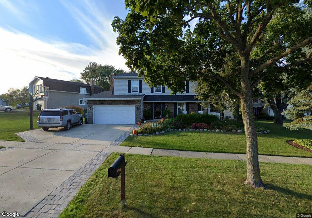
1312 Rolling Prairie Ct Hoffman Estates, IL 60192
South Ridge NeighborhoodEstimated Value: $541,000 - $605,000
About This Home
This home is located at 1312 Rolling Prairie Ct, Hoffman Estates, IL 60192 and is currently estimated at $576,406, approximately $256 per square foot. 1312 Rolling Prairie Ct is a home located in Cook County with nearby schools including Thomas Jefferson Elementary School, Frank C. Whiteley Elementary School, and William Fremd High School.
Ownership History
We collect this data history from publicly available records. To have your information removed, we recommend requesting removal directly through your county’s website.
Purchase Details
Home Financials for this Owner
Home Financials are based on the most recent Mortgage that was taken out on this home.Home Values in the Area
Average Home Value in this Area
Purchase History
We collect this data history from publicly available records. To have your information removed, we recommend requesting removal directly through your county’s website.
| Date | Buyer | Sale Price | Title Company |
|---|---|---|---|
| $302,000 | -- |
Mortgage History
We collect this data history from publicly available records. To have your information removed, we recommend requesting removal directly through your county’s website.
| Date | Status | Borrower | Loan Amount |
|---|---|---|---|
| Open | $241,600 |
Tax History
We collect this data history from publicly available records. To have your information removed, we recommend requesting removal directly through your county’s website.
| Year | Tax Paid | Tax Assessment Tax Assessment Total Assessment is a certain percentage of the fair market value that is determined by local assessors to be the total taxable value of land and additions on the property. | Land | Improvement |
|---|---|---|---|---|
| 2025 | $12,263 | $50,000 | $10,581 | $39,419 |
| 2024 | $12,263 | $40,000 | $9,069 | $30,931 |
| 2023 | $11,852 | $40,000 | $9,069 | $30,931 |
| 2022 | $11,852 | $40,000 | $9,069 | $30,931 |
| 2021 | $10,747 | $32,095 | $6,298 | $25,797 |
| 2020 | $10,511 | $32,095 | $6,298 | $25,797 |
| 2019 | $10,400 | $35,583 | $6,298 | $29,285 |
| 2018 | $12,274 | $38,741 | $5,794 | $32,947 |
| 2017 | $12,045 | $38,741 | $5,794 | $32,947 |
| 2016 | $11,179 | $38,741 | $5,794 | $32,947 |
| 2015 | $10,495 | $33,768 | $5,290 | $28,478 |
| 2014 | $10,297 | $33,768 | $5,290 | $28,478 |
| 2013 | $10,037 | $33,768 | $5,290 | $28,478 |
Map
- 4515 Opal Dr
- 4590 Topaz Dr
- 4340 Rock Cove Dr
- 1485 Westbury Dr
- 1341 W Sturbridge Dr
- 4692 N Sapphire Dr
- 4140 Portage Ln
- 4691 Huntington Blvd
- 1005 W Firestone Dr
- 13 Chipping Campden Dr
- 1683 Castaway Ct
- 5039 Chambers Dr
- 5091 Chambers Dr
- 1565 Freeman Rd
- 4310 Forest Glen Dr
- 2215 Palatine Rd
- 3895 Anjou Ln
- 210 S Haman Rd
- 4255 Dixon Dr
- 1659 Brittany Ln
- 4470 Sundance Cir
- 4476 Sundance Cir
- 4464 Sundance Cir
- 4482 Sundance Cir
- 4469 Sundance Cir
- 4463 Sundance Cir
- 4539 Opal Dr
- 4539 Opal Dr
- 4537 Opal Dr
- 4541 Opal Dr
- 4475 Sundance Cir
- 4543 Opal Dr
- 1324 Rolling Prairie Ct
- 4535 Opal Dr
- 4545 Opal Dr
- 4547 Opal Dr
- 4488 Sundance Cir
- 4533 Opal Dr
- 4549 Opal Dr
- 1338 Rolling Prairie Ct
Ask me questions while you tour the home.