1312 SW Mark Ln Cedaredge, CO 81413
Estimated Value: $651,000 - $764,000
4
Beds
2
Baths
2,142
Sq Ft
$328/Sq Ft
Est. Value
About This Home
This home is located at 1312 SW Mark Ln, Cedaredge, CO 81413 and is currently estimated at $702,672, approximately $328 per square foot. 1312 SW Mark Ln is a home located in Delta County with nearby schools including Cedaredge Elementary School, Cedaredge Middle School, and Cedaredge High School.
Ownership History
Date
Name
Owned For
Owner Type
Purchase Details
Closed on
Apr 30, 2024
Sold by
Nielsen Ronald E and Nielsen Christine D
Bought by
Simmons Timothy A and Simmons Lori Lee
Current Estimated Value
Home Financials for this Owner
Home Financials are based on the most recent Mortgage that was taken out on this home.
Original Mortgage
$350,000
Interest Rate
6.87%
Mortgage Type
Construction
Purchase Details
Closed on
May 23, 2016
Sold by
Doss Jerre and Doss Helen
Bought by
Nielsen Ronald E and Nielsen Christine D
Purchase Details
Closed on
Apr 19, 1996
Sold by
Sherrill
Bought by
Nielsen Ronald E and Nielsen Doss
Create a Home Valuation Report for This Property
The Home Valuation Report is an in-depth analysis detailing your home's value as well as a comparison with similar homes in the area
Purchase History
| Date | Buyer | Sale Price | Title Company |
|---|---|---|---|
| Simmons Timothy A | $680,000 | Fidelity National Title | |
| Nielsen Ronald E | $390,000 | Heritage Title | |
| Nielsen Ronald E | $60,000 | -- |
Source: Public Records
Mortgage History
| Date | Status | Borrower | Loan Amount |
|---|---|---|---|
| Closed | Simmons Timothy A | $350,000 |
Source: Public Records
Tax History
| Year | Tax Paid | Tax Assessment Tax Assessment Total Assessment is a certain percentage of the fair market value that is determined by local assessors to be the total taxable value of land and additions on the property. | Land | Improvement |
|---|---|---|---|---|
| 2024 | $2,198 | $35,551 | $5,767 | $29,784 |
| 2023 | $2,198 | $35,551 | $5,767 | $29,784 |
| 2022 | $1,919 | $31,945 | $5,908 | $26,037 |
| 2021 | $1,924 | $32,848 | $6,078 | $26,770 |
| 2020 | $1,824 | $30,649 | $6,078 | $24,571 |
| 2019 | $1,828 | $30,649 | $6,078 | $24,571 |
| 2018 | $1,643 | $26,497 | $5,904 | $20,593 |
| 2017 | $1,645 | $26,536 | $5,904 | $20,632 |
| 2016 | $859 | $23,183 | $7,164 | $16,019 |
| 2014 | -- | $22,173 | $7,164 | $15,009 |
Source: Public Records
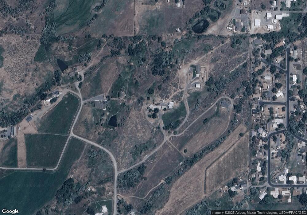
Map
Nearby Homes
- 470 SW 1st Ct
- 320 SW 8th St
- 215 SW 8th Cir
- 640 3/4 S Grand Mesa Dr
- 180 1/2 SW 8th Ave
- 185 & 165 NW 11th St
- 240 SW 13th Cir
- 885 S Grand Mesa Dr
- 180 NW 7th St
- 550 W Main St
- 915 NW Birch Ave
- 110 SE Eagle Ave
- 590 NW Aspen
- 165 SE Eagle Ave
- 370 S Grand Mesa Dr
- 1552 SW Painted Fork Rd
- 1168 NW Cedar Ave
- 190 & 170 SW 2nd Ave Unit A, B, C
- 135 SE Buffalo Ave
- 160 SE Antelope Ave
- 625 SW Brook Ln
- 1302 SW Mark Ln
- 600 SW Brook Ln
- 0 2285 Ln Unit 746534
- 0 2285 Ln Unit 683864
- 0 2285 Ln Unit 691731
- 460 SW 1st Ct
- 0 SW 1st Ct
- 610 Brook Ln
- 445 SW 1st Ct
- 535 SW 1st Ct
- 276 SW 8th Cir
- 270 SW 8th Cir
- 435 SW 1st Ct
- 258 SW 12th St
- 252 SW 8th Cir
- 545 SW 2nd Ct
- 863 SW Brook Ln
- 266 SW 8th Cir
- 236 SW 12th St
Your Personal Tour Guide
Ask me questions while you tour the home.