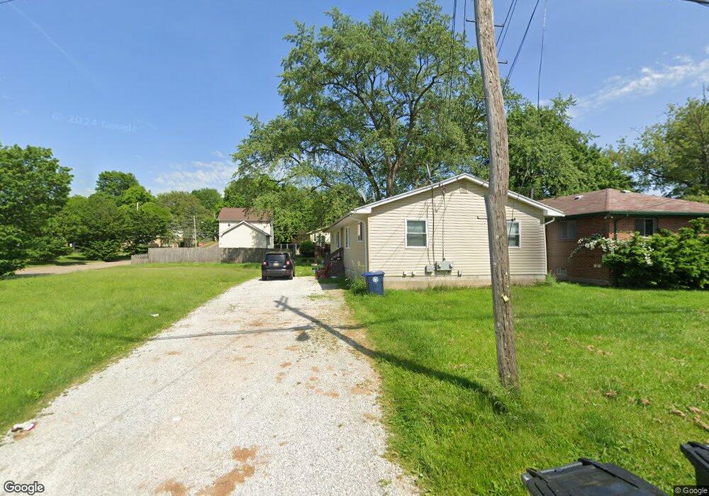
1312 Thurston St Unit 1314 Akron, OH 44320
West Akron NeighborhoodEstimated Value: $74,000 - $140,000
4
Beds
2
Baths
1,424
Sq Ft
$75/Sq Ft
Est. Value
About This Home
This home is located at 1312 Thurston St Unit 1314, Akron, OH 44320 and is currently estimated at $107,329, approximately $75 per square foot. 1312 Thurston St Unit 1314 is a home located in Summit County with nearby schools including Summit Academy School, Emmanuel Christian Academy, and Julie Billiart School Akron.
Ownership History
Date
Name
Owned For
Owner Type
Purchase Details
Closed on
Nov 4, 2022
Sold by
Lee Kikema K
Bought by
Lee Jennifer
Current Estimated Value
Purchase Details
Closed on
Feb 10, 2006
Sold by
Evans Paul L and Evans Lillie M
Bought by
Lee Kikema K
Home Financials for this Owner
Home Financials are based on the most recent Mortgage that was taken out on this home.
Original Mortgage
$66,700
Interest Rate
6.3%
Mortgage Type
Fannie Mae Freddie Mac
Create a Home Valuation Report for This Property
The Home Valuation Report is an in-depth analysis detailing your home's value as well as a comparison with similar homes in the area
Home Values in the Area
Average Home Value in this Area
Purchase History
| Date | Buyer | Sale Price | Title Company |
|---|---|---|---|
| Lee Jennifer | $3,250 | -- | |
| Lee Kikema K | $78,500 | Land America-Lawyers Title |
Source: Public Records
Mortgage History
| Date | Status | Borrower | Loan Amount |
|---|---|---|---|
| Previous Owner | Lee Kikema K | $66,700 |
Source: Public Records
Tax History Compared to Growth
Tax History
| Year | Tax Paid | Tax Assessment Tax Assessment Total Assessment is a certain percentage of the fair market value that is determined by local assessors to be the total taxable value of land and additions on the property. | Land | Improvement |
|---|---|---|---|---|
| 2025 | $69,572 | $5,814 | $5,814 | -- |
| 2024 | $1,585 | $5,814 | $5,814 | -- |
| 2023 | $437 | $5,814 | $5,814 | -- |
| 2022 | $437 | $3,420 | $3,420 | $0 |
| 2021 | $437 | $3,420 | $3,420 | $0 |
| 2020 | $666 | $3,420 | $3,420 | $0 |
| 2019 | $782 | $6,310 | $6,310 | $0 |
| 2018 | $659 | $6,310 | $6,310 | $0 |
| 2017 | $898 | $6,310 | $6,310 | $0 |
| 2016 | $898 | $6,310 | $6,310 | $0 |
| 2015 | $898 | $6,310 | $6,310 | $0 |
| 2014 | $5,782 | $6,310 | $6,310 | $0 |
| 2013 | $3,069 | $13,450 | $6,310 | $7,140 |
Source: Public Records
Map
Nearby Homes
- 1276 Frederick Blvd
- 1179 Seward Ave
- 1155 Frederick Blvd
- 1372 Frederick Blvd
- 1265 Greenwood Ave
- 1229 Pickford Ave
- 1158 Hardesty Blvd
- 1074 Hartford Ave
- 1327 Crestview Ave
- 1024 Roslyn Ave
- 1349 Crestview Ave
- VL Pickford Ave
- 1042 Frederick Blvd
- 1013 Hardesty Blvd
- 0 Seward Ave
- 0 Pickford Ave
- 1255 Dover Ave
- 1088 Packard Dr
- 966 La Belle Ave
- 1043 Slosson St
- 1265 Nome Ave Unit 1267
- 1271 Nome Ave
- 1269 Nome Ave Unit 1271
- 1264 S Hawkins Ave
- 1268 S Hawkins Ave
- 1275 Nome Ave Unit 1277
- 1326 Thurston St Unit 1342
- 1272 S Hawkins Ave
- 1276 S Hawkins Ave
- 1325 1341 Thurston St
- 1283 Nome Ave Unit 1285
- 1283 1285 Nome Ave
- 1280 S Hawkins Ave
- 1287 Nome Ave
- 1270 Nome Ave Unit 1294
- 1325 Thurston St Unit 30
- 1325 Thurston St Unit 1341
- 1290 S Hawkins Ave
- 1233 Nome Ave Unit 1235
- 1233 1235 Nome Ave