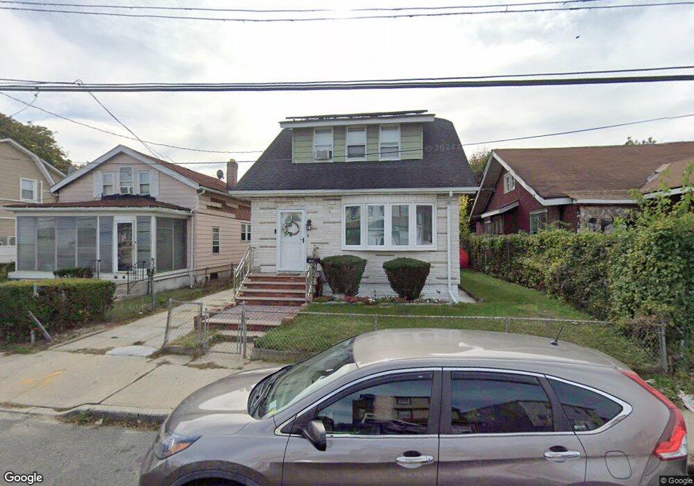
13120 Mathewson Ct Jamaica, NY 11434
Saint Albans NeighborhoodEstimated Value: $653,000 - $711,000
--
Bed
--
Bath
1,339
Sq Ft
$512/Sq Ft
Est. Value
About This Home
This home is located at 13120 Mathewson Ct, Jamaica, NY 11434 and is currently estimated at $685,073, approximately $511 per square foot. 13120 Mathewson Ct is a home located in Queens County with nearby schools including Cynthia Jenkins School, Collaborative Arts Middle School, and Success Academy Springfield Gardens.
Ownership History
Date
Name
Owned For
Owner Type
Purchase Details
Closed on
Mar 23, 2017
Sold by
Williams Patricia Zephyrine and Williams Yerling
Bought by
Mohammed Collins J and Zephyrine Agnes
Current Estimated Value
Home Financials for this Owner
Home Financials are based on the most recent Mortgage that was taken out on this home.
Original Mortgage
$348,500
Outstanding Balance
$288,915
Interest Rate
4.16%
Mortgage Type
Purchase Money Mortgage
Estimated Equity
$396,158
Purchase Details
Closed on
Dec 5, 2006
Sold by
Zephyrine Joseph Mr and Zephyrine- Williams Patricia Mrs
Bought by
Williams Yerling Mr and Zephyrine Joseph Mr
Create a Home Valuation Report for This Property
The Home Valuation Report is an in-depth analysis detailing your home's value as well as a comparison with similar homes in the area
Home Values in the Area
Average Home Value in this Area
Purchase History
| Date | Buyer | Sale Price | Title Company |
|---|---|---|---|
| Mohammed Collins J | $410,000 | -- | |
| Williams Yerling Mr | -- | -- |
Source: Public Records
Mortgage History
| Date | Status | Borrower | Loan Amount |
|---|---|---|---|
| Open | Mohammed Collins J | $348,500 |
Source: Public Records
Tax History Compared to Growth
Tax History
| Year | Tax Paid | Tax Assessment Tax Assessment Total Assessment is a certain percentage of the fair market value that is determined by local assessors to be the total taxable value of land and additions on the property. | Land | Improvement |
|---|---|---|---|---|
| 2025 | $5,785 | $30,526 | $8,442 | $22,084 |
| 2024 | $5,785 | $28,805 | $8,884 | $19,921 |
| 2023 | $5,702 | $28,391 | $7,690 | $20,701 |
| 2022 | $3,291 | $41,400 | $11,880 | $29,520 |
| 2021 | $3,580 | $36,420 | $11,880 | $24,540 |
| 2020 | $5,384 | $31,320 | $11,880 | $19,440 |
| 2019 | $5,021 | $29,460 | $11,880 | $17,580 |
| 2018 | $4,823 | $23,659 | $10,844 | $12,815 |
| 2017 | $4,550 | $22,320 | $9,037 | $13,283 |
| 2016 | $4,462 | $22,320 | $9,037 | $13,283 |
| 2015 | $2,320 | $21,198 | $10,575 | $10,623 |
| 2014 | $2,320 | $20,004 | $10,528 | $9,476 |
Source: Public Records
Map
Nearby Homes
- 0 Denis St
- 13415 Cheney St
- 132-18 Farmers Blvd
- 17913 134th Ave
- 132-20 Farmers Blvd
- 178-24 130th Rd
- 13404 Farmers Blvd
- 134-10 Farmers Blvd
- 13012 178th St
- 17808 137th Ave
- 134-10 Garrett St
- 13727 Thurston St
- 17836 Eveleth Rd
- 13744 Belknap St
- 178-26 Zoller Rd
- 176-15 130th Ave
- 12811 Harry Douglass Way
- 17911 Eveleth Rd
- 17915 Eveleth Rd
- 122-66 Nellis St
- 13124 Mathewson Ct
- 131-14 Mathewson Ct
- 13114 Mathewson Ct
- 13128 Mathewson Ct
- 131-28 Mathewson Ct
- 13219 Bennett Ct
- 13217 Bennett Ct
- 13223 Bennett Ct
- 13215 Bennett Ct
- 13132 Mathewson Ct
- 13225 Bennett Ct
- 13211 Bennett Ct
- 132-11 Bennett Ct
- 13119 Mathewson Ct
- 13227 Bennett Ct
- 13113 Farmers Blvd
- 13115 Farmers Blvd
- 13115 Mathewson Ct
- 13111 Farmers Blvd
- 13117 Mathewson Ct