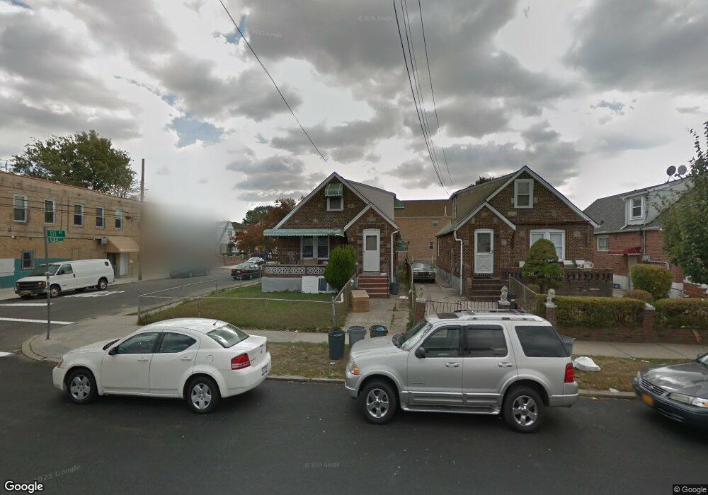
13122 111th Ave South Ozone Park, NY 11420
South Ozone Park NeighborhoodEstimated Value: $797,036 - $948,000
--
Bed
--
Bath
1,767
Sq Ft
$499/Sq Ft
Est. Value
About This Home
This home is located at 13122 111th Ave, South Ozone Park, NY 11420 and is currently estimated at $881,509, approximately $498 per square foot. 13122 111th Ave is a home located in Queens County with nearby schools including P.S. 155, J.H.S. 226 Virgil I. Grisson, and Al-Ihsan Academy.
Ownership History
Date
Name
Owned For
Owner Type
Purchase Details
Closed on
Jun 2, 2023
Sold by
Jeffcoat Georgette F and Jeffcoat Roy R
Bought by
131-22 111Th Avenue Llc
Current Estimated Value
Home Financials for this Owner
Home Financials are based on the most recent Mortgage that was taken out on this home.
Original Mortgage
$450,000
Outstanding Balance
$437,967
Interest Rate
6.39%
Mortgage Type
Purchase Money Mortgage
Estimated Equity
$443,542
Create a Home Valuation Report for This Property
The Home Valuation Report is an in-depth analysis detailing your home's value as well as a comparison with similar homes in the area
Home Values in the Area
Average Home Value in this Area
Purchase History
| Date | Buyer | Sale Price | Title Company |
|---|---|---|---|
| 131-22 111Th Avenue Llc | $600,000 | -- |
Source: Public Records
Mortgage History
| Date | Status | Borrower | Loan Amount |
|---|---|---|---|
| Open | 131-22 111Th Avenue Llc | $450,000 |
Source: Public Records
Tax History Compared to Growth
Tax History
| Year | Tax Paid | Tax Assessment Tax Assessment Total Assessment is a certain percentage of the fair market value that is determined by local assessors to be the total taxable value of land and additions on the property. | Land | Improvement |
|---|---|---|---|---|
| 2025 | $6,125 | $35,747 | $6,209 | $29,538 |
| 2024 | $6,125 | $30,496 | $5,630 | $24,866 |
| 2023 | $5,779 | $28,771 | $5,877 | $22,894 |
| 2022 | $2,585 | $40,140 | $8,640 | $31,500 |
| 2021 | $2,708 | $37,320 | $8,640 | $28,680 |
| 2020 | $5,406 | $32,100 | $8,640 | $23,460 |
| 2019 | $5,023 | $27,480 | $8,640 | $18,840 |
| 2018 | $4,590 | $23,976 | $6,453 | $17,523 |
| 2017 | $4,241 | $23,976 | $7,060 | $16,916 |
| 2016 | $1,757 | $23,976 | $7,060 | $16,916 |
| 2015 | $995 | $22,448 | $7,222 | $15,226 |
| 2014 | $995 | $21,178 | $8,184 | $12,994 |
Source: Public Records
Map
Nearby Homes
- 109-49 132nd St
- 111-17 133rd St
- 109-41 132nd St
- 109-35 131st St
- 11143 130th St
- 10922 132nd St
- 111-41 128th St
- 134-01 Linden Blvd
- 11158 128th St
- 11406 135th St
- 114-29 130th St
- 114-33 133rd St
- 132-11 109th Ave
- 10749 131st St
- 107-47 132nd St
- 10919 127th St
- 10913 127th St
- 11409 135th St
- 11455 131st St
- 114-39 134th St
- 13122 111th Ave
- 13118 111th Ave
- 13116 111th Ave
- 11112 132nd St
- 13202 111th Ave
- 11114 132nd St
- 13110 111th Ave
- 131-12 111th Ave
- 132-04 111th Ave
- 13204 111th Ave
- 11116 132nd St
- 13206 111th Ave
- 10966 132nd St
- 13108 111th Ave
- 132-05 111th Ave
- 13208 111th Ave
- 11111 132nd St
- 11120 132nd St
- 13208 111th Ave
- 11111 131st St