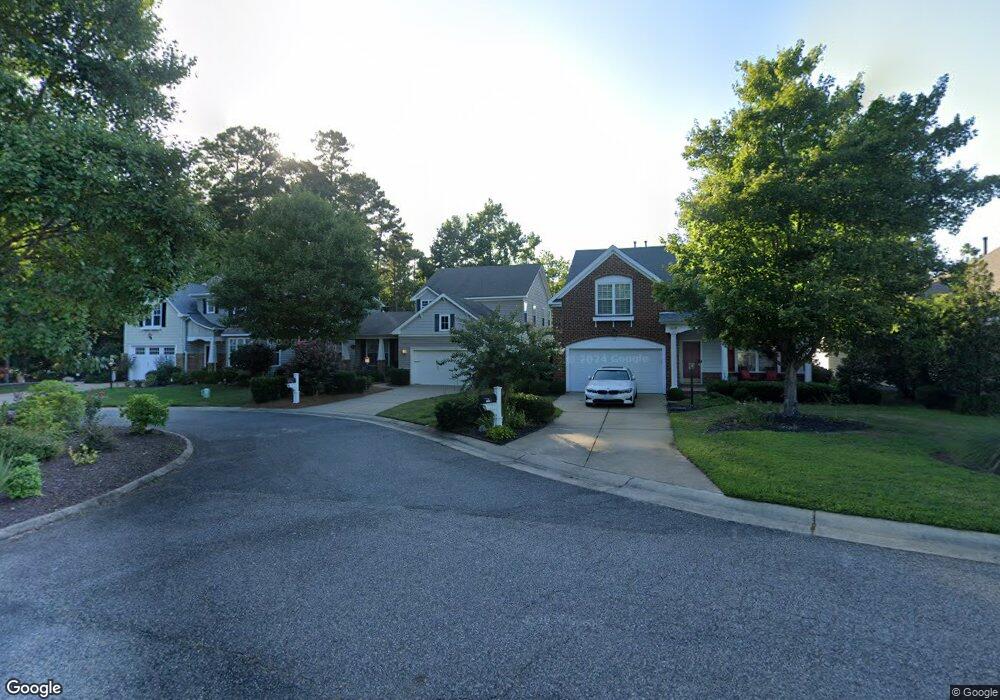
13123 E Bay Ct Carrollton, VA 23314
Estimated Value: $358,000 - $435,000
3
Beds
3
Baths
1,908
Sq Ft
$214/Sq Ft
Est. Value
About This Home
This home is located at 13123 E Bay Ct, Carrollton, VA 23314 and is currently estimated at $407,971, approximately $213 per square foot. 13123 E Bay Ct is a home located in Isle of Wight County with nearby schools including Carrollton Elementary School, Smithfield Middle School, and Smithfield High School.
Ownership History
Date
Name
Owned For
Owner Type
Purchase Details
Closed on
Nov 30, 2022
Sold by
Lowe Robert N and Lowe Linda C
Bought by
Marshall Isiah
Current Estimated Value
Home Financials for this Owner
Home Financials are based on the most recent Mortgage that was taken out on this home.
Original Mortgage
$344,755
Outstanding Balance
$334,064
Interest Rate
6.95%
Mortgage Type
New Conventional
Estimated Equity
$73,907
Purchase Details
Closed on
Oct 17, 2006
Sold by
Tract 7 Llc
Purchase Details
Closed on
May 20, 2005
Create a Home Valuation Report for This Property
The Home Valuation Report is an in-depth analysis detailing your home's value as well as a comparison with similar homes in the area
Home Values in the Area
Average Home Value in this Area
Purchase History
We collect this data history from publicly available records. To have your information removed, we recommend requesting removal directly through your county’s website.
| Date | Buyer | Sale Price | Title Company |
|---|---|---|---|
| Marshall Isiah | $362,900 | Fidelity National Title | |
| -- | $352,000 | -- | |
| -- | $2,001,000 | -- |
Source: Public Records
Mortgage History
We collect this data history from publicly available records. To have your information removed, we recommend requesting removal directly through your county’s website.
| Date | Status | Borrower | Loan Amount |
|---|---|---|---|
| Open | Marshall Isiah | $344,755 |
Source: Public Records
Tax History
| Year | Tax Paid | Tax Assessment Tax Assessment Total Assessment is a certain percentage of the fair market value that is determined by local assessors to be the total taxable value of land and additions on the property. | Land | Improvement |
|---|---|---|---|---|
| 2025 | $2,702 | $348,600 | $70,000 | $278,600 |
| 2024 | $2,545 | $348,600 | $70,000 | $278,600 |
| 2023 | $2,529 | $348,600 | $70,000 | $278,600 |
| 2022 | $2,413 | $277,500 | $70,000 | $207,500 |
| 2021 | $2,413 | $277,500 | $70,000 | $207,500 |
| 2020 | $2,413 | $277,500 | $70,000 | $207,500 |
| 2019 | $2,413 | $277,500 | $70,000 | $207,500 |
| 2018 | $2,273 | $261,100 | $70,000 | $191,100 |
| 2016 | $2,291 | $261,100 | $70,000 | $191,100 |
| 2015 | $2,015 | $261,100 | $70,000 | $191,100 |
| 2014 | $2,015 | $228,600 | $70,000 | $158,600 |
| 2013 | -- | $228,600 | $70,000 | $158,600 |
Source: Public Records
Map
Nearby Homes
- 13177 Harbor Dr
- 13341 Chesapeake Place
- 13386 Chesapeake Place
- 13408 Anchor Ct
- 1101 Rivers Arch
- 13366 Country Walk Cir
- 1002 Rivers Arch
- 206 Blue Heron Trail
- 703 Marsh Elder Trail
- 710 Blue Heron Trail
- 2802 James River Trail
- 12464 Grand Square Ln
- 13466 High Gate Mews
- 13436 Prince Andrew Trail
- 13286 Regent Park Walk
- 13279 Regent Park Walk
- 12547 Smiths Neck Rd
- 14106 Carrollton Blvd
- 114 Lands End Ln
- 125 Lands End Ln
- 22344 Charthouse Ln
- 13138 Starboard Cir
- 13141 E Bay Ct
- 13135 E Bay Ct
- 13132 Starboard Cir
- 13129 E Bay Ct
- 13124 Starboard Cir
- 22329 Charthouse Ln
- 22347 Charthouse Ln
- 22341 Charthouse Ln
- 22335 Charthouse Ln
- 22353 Charthouse Ln
- 13118 Starboard Cir
- 22323 Charthouse Ln
- 13117 E Bay Ct
- 22359 Charthouse Ln
- 22317 Charthouse Ln
- 22317 Charthouse Ln
- 13140 E Bay Ct
- 22365 Charthouse Ln
Your Personal Tour Guide
Ask me questions while you tour the home.