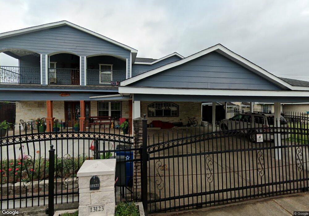
13123 Patel Ln Houston, TX 77039
East Aldine NeighborhoodEstimated Value: $343,000 - $490,000
4
Beds
3
Baths
4,504
Sq Ft
$88/Sq Ft
Est. Value
About This Home
This home is located at 13123 Patel Ln, Houston, TX 77039 and is currently estimated at $394,192, approximately $87 per square foot. 13123 Patel Ln is a home located in Harris County with nearby schools including Vardeman EC/PK/K, Stephens Elementary School, and Mead Middle.
Ownership History
Date
Name
Owned For
Owner Type
Purchase Details
Closed on
Nov 10, 2011
Sold by
Martinez Francisco
Bought by
Martinez Maria G
Current Estimated Value
Purchase Details
Closed on
Apr 3, 1995
Sold by
Kaisand Linda M Rivera and Kaisand Robert
Bought by
Martinez Francisco and Martinez Maria G
Home Financials for this Owner
Home Financials are based on the most recent Mortgage that was taken out on this home.
Original Mortgage
$36,760
Interest Rate
8.66%
Create a Home Valuation Report for This Property
The Home Valuation Report is an in-depth analysis detailing your home's value as well as a comparison with similar homes in the area
Home Values in the Area
Average Home Value in this Area
Purchase History
| Date | Buyer | Sale Price | Title Company |
|---|---|---|---|
| Martinez Maria G | -- | None Available | |
| Martinez Francisco | -- | Texas American Title Company |
Source: Public Records
Mortgage History
| Date | Status | Borrower | Loan Amount |
|---|---|---|---|
| Closed | Martinez Francisco | $36,760 |
Source: Public Records
Tax History Compared to Growth
Tax History
| Year | Tax Paid | Tax Assessment Tax Assessment Total Assessment is a certain percentage of the fair market value that is determined by local assessors to be the total taxable value of land and additions on the property. | Land | Improvement |
|---|---|---|---|---|
| 2025 | $3,377 | $439,435 | $39,156 | $400,279 |
| 2024 | $3,377 | $445,990 | $39,156 | $406,834 |
| 2023 | $3,377 | $445,990 | $39,156 | $406,834 |
| 2022 | $4,154 | $390,082 | $32,630 | $357,452 |
| 2021 | $3,958 | $315,535 | $16,315 | $299,220 |
| 2020 | $3,792 | $257,653 | $16,315 | $241,338 |
| 2019 | $3,610 | $237,257 | $16,315 | $220,942 |
| 2018 | $1,622 | $217,954 | $16,315 | $201,639 |
| 2017 | $2,843 | $217,954 | $16,315 | $201,639 |
| 2016 | $2,584 | $194,940 | $16,315 | $178,625 |
| 2015 | $1,783 | $174,260 | $16,315 | $157,945 |
| 2014 | $1,783 | $150,085 | $16,315 | $133,770 |
Source: Public Records
Map
Nearby Homes
- 0 Lauder Rd
- 2710 Woodgate St
- 2703 Lauder Rd
- 2715 Toyah Ave
- 2807 Verhalen Ave
- 2611 Lauder Rd
- 3503 Debeney Dr
- 4002 Charriton Dr
- 2438 Balmorhea Ave
- 2434 Balmorhea Ave
- 4422 Sandydale Ln
- 12123 Steeple Ln
- 4703 Hollybrook Ln
- 4705 Lauder Rd
- 4739 Sandydale Ln
- 11937 Connor St
- 1810 Connorvale Rd
- 13310 Robertcrest St Unit B
- 4826 Anice St
- 1826 Gault Rd
- 13127 Patel Ln
- 13119 Patel Ln
- 13115 Patel Ln
- 13131 Patel Ln
- 3503 Ridgeland Ave
- 3506 Woodgate St
- 13111 Patel Ln
- 3507 Ridgeland Ave
- 3510 Woodgate St
- 3503 Woodgate St
- 3502 Ridgeland Ave
- 13107 Patel Ln
- 3507 Woodgate St
- 3511 Ridgeland Ave
- 3514 Woodgate St
- 3506 Ridgeland Ave
- 3511 Woodgate St
- 13103 Patel Ln
- 3515 Ridgeland Ave
- 3503 Bluerock St