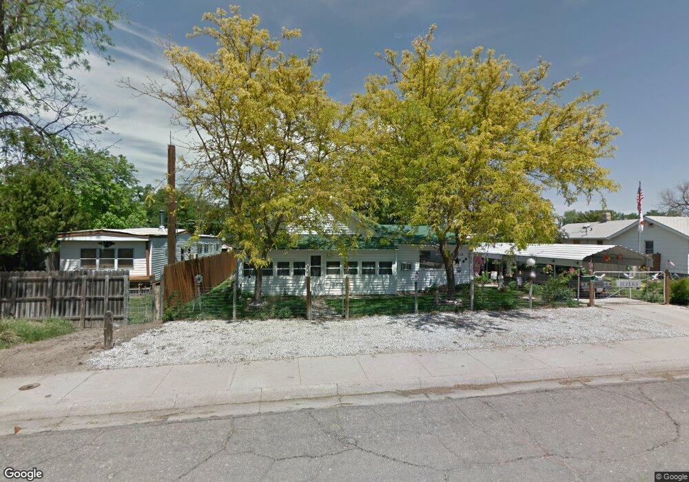
1313 E A St Mc Cook, NE 69001
Estimated Value: $97,000 - $114,677
2
Beds
2
Baths
1,194
Sq Ft
$90/Sq Ft
Est. Value
About This Home
This home is located at 1313 E A St, Mc Cook, NE 69001 and is currently estimated at $107,559, approximately $90 per square foot. 1313 E A St is a home located in Red Willow County with nearby schools including McCook Elementary School, Central Elementary School, and McCook Junior High School.
Create a Home Valuation Report for This Property
The Home Valuation Report is an in-depth analysis detailing your home's value as well as a comparison with similar homes in the area
Home Values in the Area
Average Home Value in this Area
Tax History
| Year | Tax Paid | Tax Assessment Tax Assessment Total Assessment is a certain percentage of the fair market value that is determined by local assessors to be the total taxable value of land and additions on the property. | Land | Improvement |
|---|---|---|---|---|
| 2025 | -- | $67,522 | $8,400 | $59,122 |
| 2024 | -- | $62,463 | $8,400 | $54,063 |
| 2023 | $0 | $62,463 | $8,400 | $54,063 |
| 2022 | $0 | $54,191 | $4,200 | $49,991 |
| 2021 | $540 | $48,062 | $4,200 | $43,862 |
| 2020 | $540 | $48,062 | $4,200 | $43,862 |
| 2019 | $540 | $33,808 | $3,850 | $29,958 |
| 2018 | $540 | $33,808 | $3,850 | $29,958 |
| 2017 | $415 | $23,999 | $3,850 | $20,149 |
| 2016 | $153 | $23,999 | $3,850 | $20,149 |
| 2015 | $105 | $23,999 | $3,850 | $20,149 |
| 2014 | -- | $24,728 | $3,850 | $20,878 |
Source: Public Records
Map
Nearby Homes
- 1401 E C St
- 107 S 7th St
- 0 Club House Dr
- 801 E 1st St
- 1109 W 4th St
- 811 W S St
- 813 W S St
- 71653 Road 383
- 38169 Road 721
- 71318 Drive 398
- 0 Tbd Road 314 Unit 11636443
- 0000 County Rd 314
- 71345 Nebraska 25
- 445 Palermo Ave
- 27255 Road Bb
- 820 Mousel Ave
- 504 Flannery Ave
- 914 Norton St
- 505 Dolan Ave
- 715 Nelson St
Your Personal Tour Guide
Ask me questions while you tour the home.