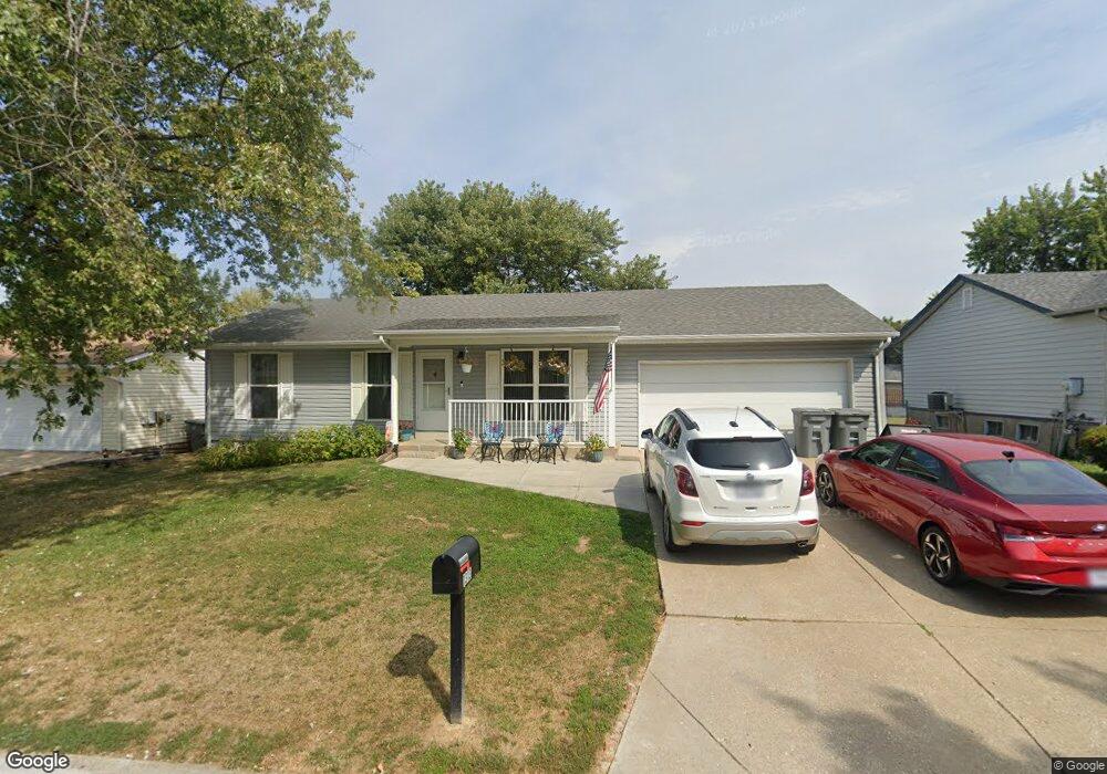
1313 Manuka Dr O Fallon, MO 63366
Estimated Value: $247,000 - $253,236
About This Home
This home is located at 1313 Manuka Dr, O Fallon, MO 63366 and is currently estimated at $249,059, approximately $288 per square foot. 1313 Manuka Dr is a home located in St. Charles County with nearby schools including Crossroads Elementary School, Frontier Middle School, and Liberty High School.
Ownership History
We collect this data history from publicly available records. To have your information removed, we recommend requesting removal directly through your county’s website.
Purchase Details
Home Financials for this Owner
Home Financials are based on the most recent Mortgage that was taken out on this home.Purchase Details
Home Financials for this Owner
Home Financials are based on the most recent Mortgage that was taken out on this home.Home Values in the Area
Average Home Value in this Area
Purchase History
We collect this data history from publicly available records. To have your information removed, we recommend requesting removal directly through your county’s website.
| Date | Buyer | Sale Price | Title Company |
|---|---|---|---|
| $119,900 | Ust | ||
| -- | -- |
Mortgage History
We collect this data history from publicly available records. To have your information removed, we recommend requesting removal directly through your county’s website.
| Date | Status | Borrower | Loan Amount |
|---|---|---|---|
| Open | $117,727 | ||
| Previous Owner | $84,660 |
Tax History
We collect this data history from publicly available records. To have your information removed, we recommend requesting removal directly through your county’s website.
| Year | Tax Paid | Tax Assessment Tax Assessment Total Assessment is a certain percentage of the fair market value that is determined by local assessors to be the total taxable value of land and additions on the property. | Land | Improvement |
|---|---|---|---|---|
| 2025 | $2,542 | $38,284 | -- | -- |
| 2023 | $2,543 | $35,908 | $0 | $0 |
| 2022 | $2,222 | $29,118 | $0 | $0 |
| 2021 | $2,223 | $29,118 | $0 | $0 |
| 2020 | $2,129 | $27,283 | $0 | $0 |
| 2019 | $1,998 | $27,283 | $0 | $0 |
| 2018 | $1,892 | $24,572 | $0 | $0 |
| 2017 | $1,860 | $24,572 | $0 | $0 |
| 2016 | $1,604 | $21,003 | $0 | $0 |
| 2015 | $1,596 | $21,003 | $0 | $0 |
| 2014 | $1,461 | $19,753 | $0 | $0 |
Map
- 514 Crail Ct
- 128 Royal Troon Dr
- 126 Royal Troon Dr
- 1269 Little Brave Dr
- 16 Tomahawk Ct
- 18 Bayberry Meadows Ct
- 3 Warchol Ct
- 310 Claymoore Ct
- 123 Royal Inverness Pkwy
- 1290 Summer Lynne Dr
- 708 Kenmare Ct
- 1357 Crooked Stick Dr
- 313 Kingsbarns Ct
- 207 Kerry Downs Dr
- 210 Kerry Downs Dr
- 1419 Sunburst Dr
- 322 Royal Dornoch Ct
- 209 Castle Stuart Ct
- 1159 Sunset Green Dr
- 1214 Sunny Ridge Dr
- 1334 White Hawk Dr
- 1338 White Hawk Dr
- 1330 White Hawk Dr
- 1342 White Hawk Dr
- 1326 White Hawk Dr
- 1310 Half Moon Dr
- 1309 Manuka Dr
- 17 Locust Hills Ct
- 1322 White Hawk Dr
- 1346 White Hawk Dr
- 15 Locust Hills Ct
- 1314 Half Moon Dr
- 19 Locust Hills Ct
- 1309 Half Moon Dr
- 13 Locust Hills Ct
- 1292 Clinton Hill Ct
- 1350 White Hawk Dr
- 1318 White Hawk Dr
- 1310 Manuka Dr
- 1313 Half Moon Dr
Ask me questions while you tour the home.