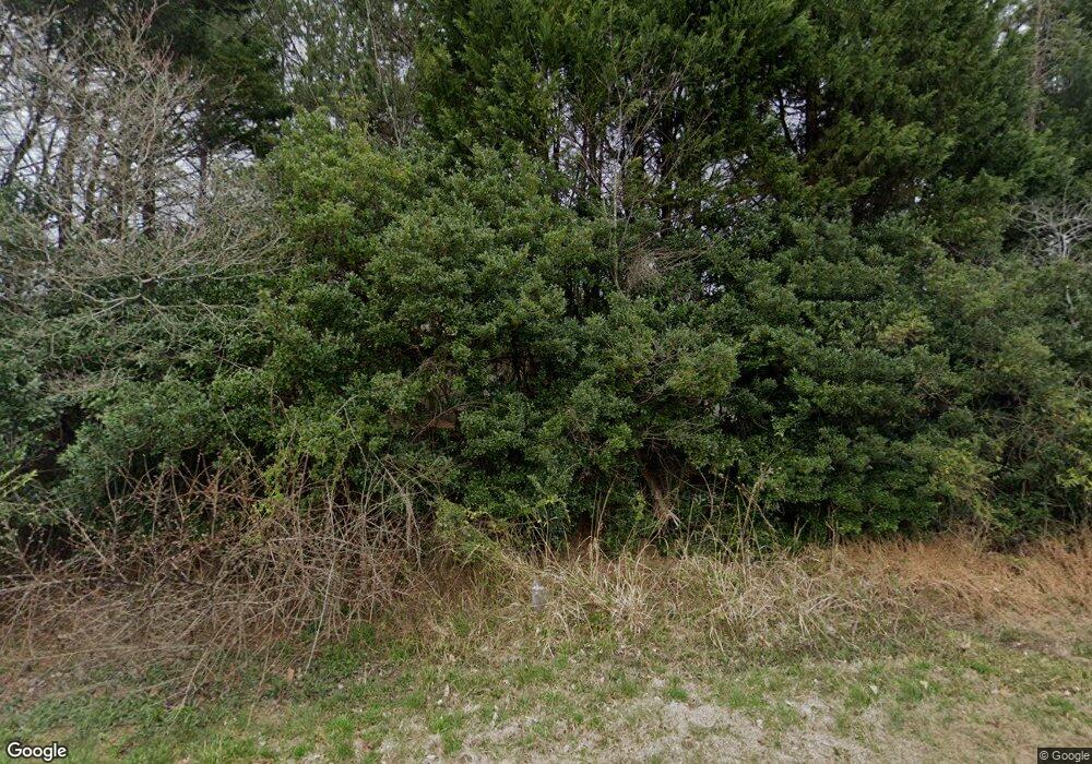
1313 N White St Wake Forest, NC 27587
Estimated Value: $1,320,400
--
Bed
--
Bath
512
Sq Ft
$2,579/Sq Ft
Est. Value
About This Home
This home is located at 1313 N White St, Wake Forest, NC 27587 and is currently estimated at $1,320,400, approximately $2,578 per square foot. 1313 N White St is a home located in Wake County with nearby schools including Richland Creek Elementary School, Wake Forest-Rolesville Middle School, and Wake Forest High School.
Ownership History
Date
Name
Owned For
Owner Type
Purchase Details
Closed on
Aug 28, 2007
Sold by
Joyner John C and Adams James M
Bought by
Ritchie Family Properties
Current Estimated Value
Purchase Details
Closed on
Jun 23, 2000
Sold by
Adams James M and Adams Gayle W
Bought by
Ritchie Family Properties Llc
Home Financials for this Owner
Home Financials are based on the most recent Mortgage that was taken out on this home.
Original Mortgage
$250,000
Interest Rate
8.63%
Mortgage Type
Construction
Create a Home Valuation Report for This Property
The Home Valuation Report is an in-depth analysis detailing your home's value as well as a comparison with similar homes in the area
Home Values in the Area
Average Home Value in this Area
Purchase History
| Date | Buyer | Sale Price | Title Company |
|---|---|---|---|
| Ritchie Family Properties | $725,000 | None Available | |
| Ritchie Family Properties Llc | $291,500 | -- |
Source: Public Records
Mortgage History
| Date | Status | Borrower | Loan Amount |
|---|---|---|---|
| Previous Owner | Ritchie Family Properties Llc | $250,000 |
Source: Public Records
Tax History Compared to Growth
Tax History
| Year | Tax Paid | Tax Assessment Tax Assessment Total Assessment is a certain percentage of the fair market value that is determined by local assessors to be the total taxable value of land and additions on the property. | Land | Improvement |
|---|---|---|---|---|
| 2025 | $6,124 | $957,422 | $929,572 | $27,850 |
| 2024 | $5,946 | $957,422 | $929,572 | $27,850 |
| 2023 | $5,953 | $763,517 | $743,657 | $19,860 |
| 2022 | $5,514 | $763,517 | $743,657 | $19,860 |
| 2021 | $5,365 | $763,517 | $743,657 | $19,860 |
| 2020 | $5,276 | $763,517 | $743,657 | $19,860 |
| 2019 | $5,703 | $698,342 | $679,432 | $18,910 |
| 2018 | $5,240 | $698,342 | $679,432 | $18,910 |
| 2017 | $4,965 | $698,342 | $679,432 | $18,910 |
| 2016 | $4,864 | $698,342 | $679,432 | $18,910 |
| 2015 | $4,913 | $707,462 | $676,052 | $31,410 |
| 2014 | $4,655 | $707,462 | $676,052 | $31,410 |
Source: Public Records
Map
Nearby Homes
- 1201 Dagmar Ln
- 505 Moultonboro Ave
- 513 Moultonboro Ave
- Lot 49 Dragonfly Pond Way
- Lot 44 Dragonfly Pond Way
- Lot 12 Dragonfly Pond Way
- 525 Moultonboro Ave
- Lot 16 Dragonfly Pond Way
- 955 Alma Railway Dr Unit 563
- 937 Alma Railway Dr Unit 555
- 201 Amaryllis Way
- 949 Alma Railway Dr
- 637 Hatters Creek Ln
- 945 Alma Railway Dr Unit 559
- 624 Moultonboro Ave
- The Daphne C Plan at Sage on North Main
- Birch II C Plan at Sage on North Main
- The Hickory II C Plan at Sage on North Main
- The Aspen Plan at Sage on North Main
- The Beech Plan at Sage on North Main
- 1258 N Main St
- 1314 White Spruce Dr
- 401 Moultonboro Ave
- 1221 Dagmar Ln
- 405 Moultonboro Ave
- 400 Moultonboro Ave
- 1217 Dagmar Ln
- 1330 N White St
- 409 Moultonboro Ave
- 1213 Dagmar Ln
- 1338 N White St
- 1307 N White St
- 413 Moultonboro Ave
- 1340 N White St
- 1209 Dagmar Ln
- 1224 Dagmar Ln
- 1205 Dagmar Ln
- 1220 Dagmar Ln
- 417 Moultonboro Ave
- 1309 Dugway Ct
