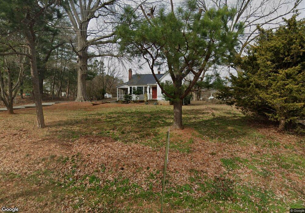
1313 Pointer St Roxboro, NC 27573
Estimated Value: $144,000 - $195,000
3
Beds
2
Baths
1,430
Sq Ft
$126/Sq Ft
Est. Value
About This Home
This home is located at 1313 Pointer St, Roxboro, NC 27573 and is currently estimated at $180,157, approximately $125 per square foot. 1313 Pointer St is a home located in Person County with nearby schools including Person High School, Roxboro Community School, and Roxboro Christian Academy.
Ownership History
Date
Name
Owned For
Owner Type
Purchase Details
Closed on
Oct 20, 2011
Sold by
Citimortgage Inc
Bought by
Hobgoblin Enterprises Llc
Current Estimated Value
Home Financials for this Owner
Home Financials are based on the most recent Mortgage that was taken out on this home.
Original Mortgage
$35,700
Interest Rate
4.2%
Mortgage Type
Future Advance Clause Open End Mortgage
Purchase Details
Closed on
Jun 29, 2011
Sold by
Outlaw Carl Mathew and Outlaw Della J
Bought by
Citimortgage Inc
Create a Home Valuation Report for This Property
The Home Valuation Report is an in-depth analysis detailing your home's value as well as a comparison with similar homes in the area
Purchase History
| Date | Buyer | Sale Price | Title Company |
|---|---|---|---|
| Hobgoblin Enterprises Llc | $27,000 | -- | |
| Citimortgage Inc | $28,780 | None Available |
Source: Public Records
Mortgage History
| Date | Status | Borrower | Loan Amount |
|---|---|---|---|
| Closed | Hobgoblin Enterprises Llc | $35,700 |
Source: Public Records
Tax History
| Year | Tax Paid | Tax Assessment Tax Assessment Total Assessment is a certain percentage of the fair market value that is determined by local assessors to be the total taxable value of land and additions on the property. | Land | Improvement |
|---|---|---|---|---|
| 2025 | $2,006 | $145,342 | $0 | $0 |
| 2024 | $1,114 | $73,181 | $0 | $0 |
| 2023 | $1,039 | $73,181 | $0 | $0 |
| 2022 | $1,039 | $73,181 | $0 | $0 |
| 2021 | $1,003 | $73,181 | $0 | $0 |
| 2020 | $975 | $70,145 | $0 | $0 |
| 2019 | $982 | $70,145 | $0 | $0 |
| 2018 | $961 | $70,145 | $0 | $0 |
| 2017 | $961 | $70,145 | $0 | $0 |
| 2016 | $961 | $70,145 | $0 | $0 |
| 2015 | $954 | $70,145 | $0 | $0 |
| 2014 | $951 | $69,919 | $0 | $0 |
Source: Public Records
Map
Nearby Homes
- Lot 4 Forrestwood Dr
- 120 Denada Path
- 425 Providence Rd
- 150 Summit St
- 1420 John St
- 474 Providence Rd
- 11 Denada Path
- 1108 Shelton Rd
- 1901 Carver Dr
- 143 Lankford St
- 123 Kerr Dr
- 115 Kerr Dr
- 234 Lillian Ct
- 0 Graham Dr Unit 10078034
- 00 Stone Dr
- 100 Landon Place
- 249 Landon Place
- 213 Hicks Cir
- 200 Payton Place
- 199 Payton Place
- 1317 Pointer St
- 1283 Ridge Rd
- 1281 Ridge Rd
- 1319 Pointer St
- 1316 Griles St
- 1312 Griles St
- 1314 Pointer St
- 1322 Griles St
- 1323 Pointer St
- 1271 Ridge Rd
- 1307 Dale St Unit 1311
- 1281 10th Ave
- 1316 Pointer St
- 1326 Griles St
- 1327 Pointer St
- 1267 Ridge Rd
- 0 Pointer St
- 1324 Pointer St
- 1286 Ridge Rd
- 1332 Griles St
Your Personal Tour Guide
Ask me questions while you tour the home.