13130 Bozeman Trail Elbert, CO 80106
Estimated Value: $693,884 - $759,000
5
Beds
4
Baths
1,852
Sq Ft
$396/Sq Ft
Est. Value
About This Home
This home is located at 13130 Bozeman Trail, Elbert, CO 80106 and is currently estimated at $732,471, approximately $395 per square foot. 13130 Bozeman Trail is a home located in El Paso County with nearby schools including Meridian Ranch Elementary School, Clifford Street Elementary School, and Falcon Middle School.
Ownership History
Date
Name
Owned For
Owner Type
Purchase Details
Closed on
Aug 11, 2011
Sold by
Pforr Edward A and Pforr Karen E
Bought by
Hennessey John J and Hennessey Evalyn
Current Estimated Value
Home Financials for this Owner
Home Financials are based on the most recent Mortgage that was taken out on this home.
Original Mortgage
$332,626
Outstanding Balance
$229,876
Interest Rate
4.53%
Mortgage Type
VA
Estimated Equity
$502,595
Purchase Details
Closed on
Nov 27, 1985
Bought by
Hennessey John J
Create a Home Valuation Report for This Property
The Home Valuation Report is an in-depth analysis detailing your home's value as well as a comparison with similar homes in the area
Home Values in the Area
Average Home Value in this Area
Purchase History
| Date | Buyer | Sale Price | Title Company |
|---|---|---|---|
| Hennessey John J | $322,000 | None Available | |
| Hennessey John J | -- | -- |
Source: Public Records
Mortgage History
| Date | Status | Borrower | Loan Amount |
|---|---|---|---|
| Open | Hennessey John J | $332,626 |
Source: Public Records
Tax History Compared to Growth
Tax History
| Year | Tax Paid | Tax Assessment Tax Assessment Total Assessment is a certain percentage of the fair market value that is determined by local assessors to be the total taxable value of land and additions on the property. | Land | Improvement |
|---|---|---|---|---|
| 2025 | $3,139 | $48,300 | -- | -- |
| 2024 | $3,026 | $47,780 | $8,680 | $39,100 |
| 2023 | $3,026 | $47,780 | $8,680 | $39,100 |
| 2022 | $2,210 | $31,830 | $6,760 | $25,070 |
| 2021 | $2,299 | $32,760 | $6,960 | $25,800 |
| 2020 | $1,991 | $28,240 | $6,260 | $21,980 |
| 2019 | $1,973 | $28,240 | $6,260 | $21,980 |
| 2018 | $1,692 | $23,810 | $5,870 | $17,940 |
| 2017 | $1,550 | $23,810 | $5,870 | $17,940 |
| 2016 | $1,504 | $22,800 | $6,070 | $16,730 |
| 2015 | $1,505 | $22,800 | $6,070 | $16,730 |
| 2014 | $1,420 | $21,110 | $5,560 | $15,550 |
Source: Public Records
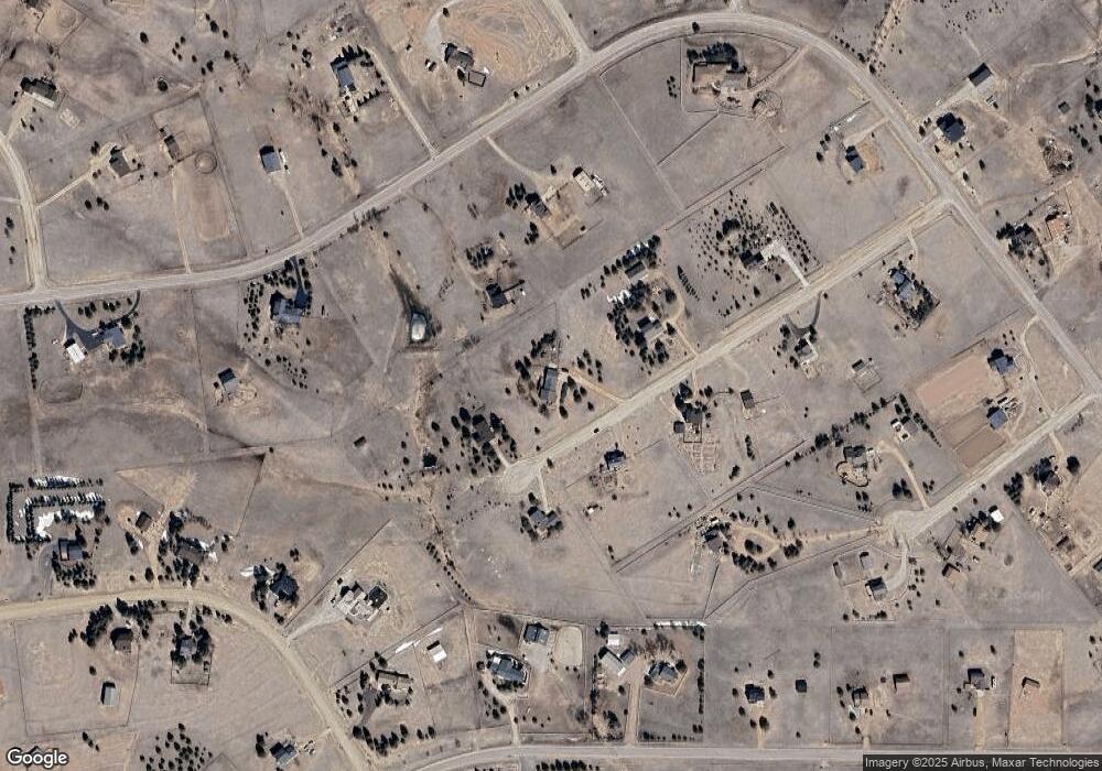
Map
Nearby Homes
- 12405 Oregon Wagon Trail
- 12435 Lonesome Pine Trail
- 0 Latigo Blvd
- 13745 Irish Hunter Tr
- 13650 Irish Hunter Tr
- 12340 Oregon Wagon Trail
- 12375 Mount Shasta Dr
- 13465 Buffalo River Trail
- 12275 Oregon Wagon Trail
- 11935 Conestoga Trail S
- 11970 Silver Concho Trail
- 11960 Conestoga Trail S
- 12855 Murphy Rd
- The Brooklyn Plan at Latigo
- The Grand Royal Plan at Latigo
- The Peak Plan at Latigo
- 12190 Smoke Bluffs Rd
- 14650 Eastonville Rd
- 11333 Sage Mesa Way
- 11504 Blackcomb Trail
- 13110 Bozeman Trail
- 13165 Halleluiah Trail
- 13135 Bozeman Trail
- 13150 Bozeman Trail
- 13155 Bozeman Trail
- 13115 Bozeman Trail
- 13195 Halleluiah Trail
- 13310 Pawnee Trail
- 13220 Bozeman Trail
- 13225 Bozeman Trail
- 13145 Halleluiah Trail
- 12860 Cherokee Trail Dr
- 13685 Halleluiah Trail
- 13655 Halleluiah Trail
- 12860 Lariat Cir
- 12840 Cherokee Trail Dr
- 13350 Pawnee Trail
- 12880 Cherokee Trail Dr
- 13275 Halleluiah Trail
- 13160 Halleluiah Trail