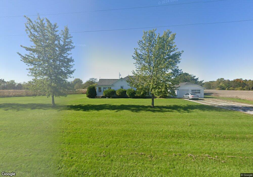
13132 Canning Factory Rd Wapakoneta, OH 45895
Estimated Value: $159,000 - $247,000
3
Beds
1
Bath
1,550
Sq Ft
$133/Sq Ft
Est. Value
About This Home
This home is located at 13132 Canning Factory Rd, Wapakoneta, OH 45895 and is currently estimated at $206,440, approximately $133 per square foot. 13132 Canning Factory Rd is a home located in Auglaize County with nearby schools including Wapakoneta Elementary School, Wapakoneta High School, and Wapakoneta Middle School.
Ownership History
Date
Name
Owned For
Owner Type
Purchase Details
Closed on
Jul 21, 2022
Sold by
Icatterhenry Douglas L
Bought by
Peraza Jessica
Current Estimated Value
Home Financials for this Owner
Home Financials are based on the most recent Mortgage that was taken out on this home.
Original Mortgage
$145,500
Outstanding Balance
$139,251
Interest Rate
5.81%
Mortgage Type
New Conventional
Estimated Equity
$67,189
Purchase Details
Closed on
Apr 15, 2011
Sold by
Katterhenry Doloros M and Katterhenry Douglas L
Bought by
Katerhenry Douglas L and Olds Sharon D
Purchase Details
Closed on
Feb 24, 1994
Sold by
Katterhenry Doloros M
Bought by
Katterhenry Douglas L
Create a Home Valuation Report for This Property
The Home Valuation Report is an in-depth analysis detailing your home's value as well as a comparison with similar homes in the area
Home Values in the Area
Average Home Value in this Area
Purchase History
| Date | Buyer | Sale Price | Title Company |
|---|---|---|---|
| Peraza Jessica | -- | None Listed On Document | |
| Katerhenry Douglas L | -- | Attorney | |
| Katterhenry Douglas L | -- | -- |
Source: Public Records
Mortgage History
| Date | Status | Borrower | Loan Amount |
|---|---|---|---|
| Open | Peraza Jessica | $145,500 |
Source: Public Records
Tax History Compared to Growth
Tax History
| Year | Tax Paid | Tax Assessment Tax Assessment Total Assessment is a certain percentage of the fair market value that is determined by local assessors to be the total taxable value of land and additions on the property. | Land | Improvement |
|---|---|---|---|---|
| 2024 | $1,863 | $36,110 | $7,040 | $29,070 |
| 2023 | $1,196 | $36,110 | $7,040 | $29,070 |
| 2022 | $1,017 | $27,090 | $6,390 | $20,700 |
| 2021 | $997 | $27,090 | $6,390 | $20,700 |
| 2020 | $509 | $27,094 | $6,395 | $20,699 |
| 2019 | $868 | $22,688 | $5,331 | $17,357 |
| 2018 | $871 | $22,688 | $5,331 | $17,357 |
| 2017 | $865 | $22,688 | $5,331 | $17,357 |
| 2016 | $831 | $21,931 | $5,075 | $16,856 |
| 2015 | $808 | $21,931 | $5,075 | $16,856 |
| 2014 | $817 | $21,931 | $5,075 | $16,856 |
| 2013 | $836 | $21,931 | $5,075 | $16,856 |
Source: Public Records
Map
Nearby Homes
- 12916 Canning Factory Rd
- 12864 Canning Factory Rd
- 13946 Hardin Pike Rd
- 12850 Canning Factory Rd
- 13978 Hardin Pike Rd
- 12808 Canning Factory Rd
- 13968 Hardin Pike Rd
- 1506 S Blackhoof St
- 129 Koneta St
- 123 Koneta St
- 115 Koneta St
- 116 Koneta St
- 113 Koneta St
- 0 Ashland Ave
- 109 Koneta St
- 1114 Ridge St
- 1310 S Blackhoof St