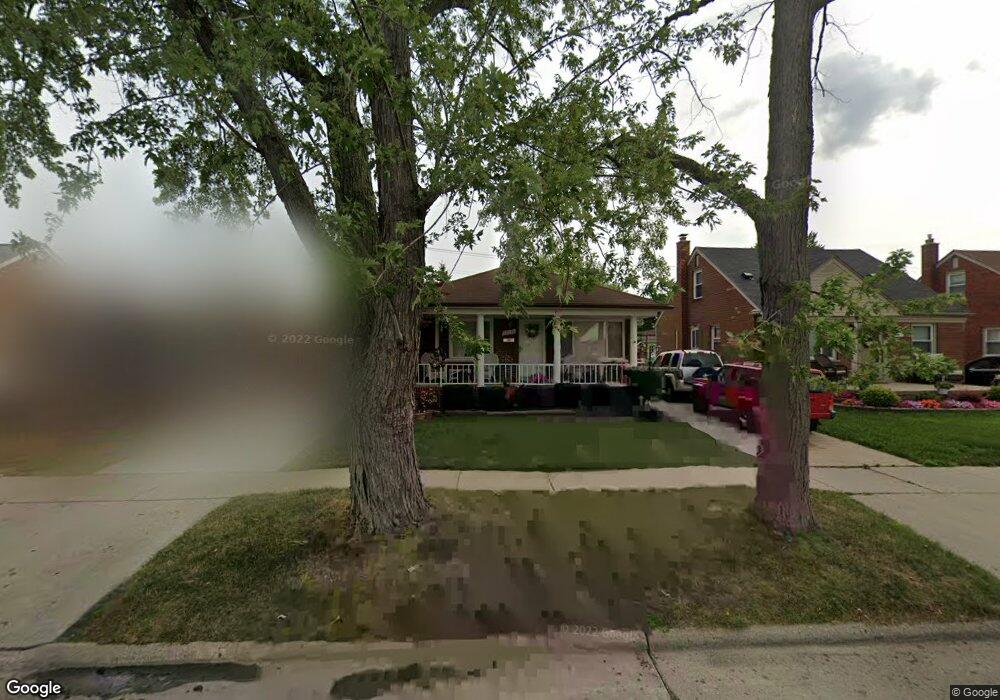
13133 Birrell St Southgate, MI 48195
Estimated Value: $198,000 - $232,000
--
Bed
--
Bath
1,539
Sq Ft
$140/Sq Ft
Est. Value
About This Home
This home is located at 13133 Birrell St, Southgate, MI 48195 and is currently estimated at $216,115, approximately $140 per square foot. 13133 Birrell St is a home located in Wayne County with nearby schools including Grogan Elementary School, Davidson Middle School, and Southgate Anderson High School.
Ownership History
Date
Name
Owned For
Owner Type
Purchase Details
Closed on
Jun 15, 2012
Sold by
Robertson Cindy S
Bought by
Marie Robertson Cindy S and Marie Puciano Gina
Current Estimated Value
Home Financials for this Owner
Home Financials are based on the most recent Mortgage that was taken out on this home.
Original Mortgage
$96,490
Outstanding Balance
$14,342
Interest Rate
3.87%
Mortgage Type
New Conventional
Estimated Equity
$201,773
Purchase Details
Closed on
Aug 30, 1999
Sold by
Lawyer Judith A
Bought by
Robertson Carsal E
Create a Home Valuation Report for This Property
The Home Valuation Report is an in-depth analysis detailing your home's value as well as a comparison with similar homes in the area
Home Values in the Area
Average Home Value in this Area
Purchase History
| Date | Buyer | Sale Price | Title Company |
|---|---|---|---|
| Marie Robertson Cindy S | -- | Mortgage Information Service | |
| Robertson Carsal E | $132,000 | -- |
Source: Public Records
Mortgage History
| Date | Status | Borrower | Loan Amount |
|---|---|---|---|
| Open | Marie Robertson Cindy S | $96,490 |
Source: Public Records
Tax History Compared to Growth
Tax History
| Year | Tax Paid | Tax Assessment Tax Assessment Total Assessment is a certain percentage of the fair market value that is determined by local assessors to be the total taxable value of land and additions on the property. | Land | Improvement |
|---|---|---|---|---|
| 2025 | $2,656 | $111,500 | $0 | $0 |
| 2024 | $2,656 | $102,300 | $0 | $0 |
| 2023 | $2,535 | $93,600 | $0 | $0 |
| 2022 | $2,938 | $85,400 | $0 | $0 |
| 2021 | $2,859 | $77,300 | $0 | $0 |
| 2020 | $2,811 | $69,500 | $0 | $0 |
| 2019 | $2,776 | $63,500 | $0 | $0 |
| 2018 | $2,111 | $56,400 | $0 | $0 |
| 2017 | $1,260 | $52,800 | $0 | $0 |
| 2016 | $2,565 | $51,200 | $0 | $0 |
| 2015 | $4,470 | $47,900 | $0 | $0 |
| 2013 | $4,330 | $44,300 | $0 | $0 |
| 2012 | $1,843 | $42,200 | $7,700 | $34,500 |
Source: Public Records
Map
Nearby Homes
- 13344 Birrell St
- 13296 Rosedale St
- 13272 Callender St
- 13105 Oakdale St
- 12945 Brest St
- 1679 23rd St
- 13631 Rosedale St
- 13357 Brest St
- 13427 Brest St
- 1645 22nd St
- 12937 Pullman St
- 12925 Pullman St
- 13335 Pullman St
- 13487 Brest St
- 13272 Venness St
- 13395 Pullman St
- 4194 Drouillard St
- 13021 Cunningham St
- 4123 Lafayette Blvd
- 4118 Hubbard Ave
- 13145 Birrell St
- 13121 Birrell St
- 13157 Birrell St
- 13109 Birrell St
- 13169 Birrell St
- 12956 Ward St
- 12997 Birrell St
- 12944 Ward St
- 12964 Ward St
- 12932 Ward St
- 12979 Birrell St
- 12972 Ward St
- 13181 Birrell St
- 13132 Birrell St
- 13120 Birrell St
- 13144 Birrell St
- 13108 Birrell St
- 13156 Birrell St
- 12980 Ward St
- 12926 Ward St