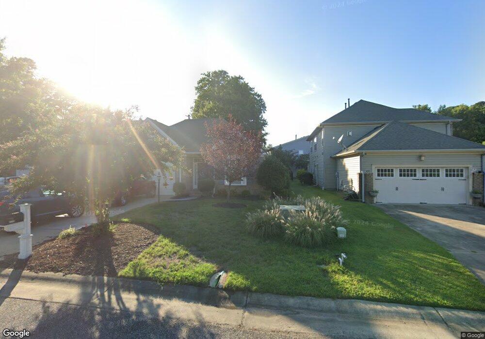
13135 E Bay Ct Carrollton, VA 23314
Estimated Value: $395,236 - $440,000
3
Beds
2
Baths
1,800
Sq Ft
$234/Sq Ft
Est. Value
About This Home
This home is located at 13135 E Bay Ct, Carrollton, VA 23314 and is currently estimated at $421,309, approximately $234 per square foot. 13135 E Bay Ct is a home located in Isle of Wight County with nearby schools including Carrollton Elementary School, Smithfield Middle School, and Smithfield High School.
Ownership History
Date
Name
Owned For
Owner Type
Purchase Details
Closed on
Dec 20, 2019
Sold by
Gene Lamp Ii Clark
Bought by
Mayfield Thomas William and Mayfield Priscilla Marie
Current Estimated Value
Home Financials for this Owner
Home Financials are based on the most recent Mortgage that was taken out on this home.
Original Mortgage
$306,450
Outstanding Balance
$270,708
Interest Rate
3.7%
Mortgage Type
VA
Estimated Equity
$150,601
Purchase Details
Closed on
Jun 29, 2016
Purchase Details
Closed on
May 30, 2006
Sold by
Tract 7 Llc
Purchase Details
Closed on
May 20, 2005
Create a Home Valuation Report for This Property
The Home Valuation Report is an in-depth analysis detailing your home's value as well as a comparison with similar homes in the area
Home Values in the Area
Average Home Value in this Area
Purchase History
| Date | Buyer | Sale Price | Title Company |
|---|---|---|---|
| Mayfield Thomas William | $300,000 | True North Title | |
| -- | $275,000 | -- | |
| -- | $361,600 | -- | |
| -- | $2,001,000 | -- |
Source: Public Records
Mortgage History
| Date | Status | Borrower | Loan Amount |
|---|---|---|---|
| Open | Mayfield Thomas William | $306,450 |
Source: Public Records
Tax History
| Year | Tax Paid | Tax Assessment Tax Assessment Total Assessment is a certain percentage of the fair market value that is determined by local assessors to be the total taxable value of land and additions on the property. | Land | Improvement |
|---|---|---|---|---|
| 2025 | $2,695 | $347,800 | $70,000 | $277,800 |
| 2024 | $2,539 | $347,800 | $70,000 | $277,800 |
| 2023 | $2,523 | $347,800 | $70,000 | $277,800 |
| 2022 | $2,441 | $280,800 | $70,000 | $210,800 |
| 2021 | $2,441 | $280,800 | $70,000 | $210,800 |
| 2020 | $2,441 | $280,800 | $70,000 | $210,800 |
| 2019 | $2,441 | $280,800 | $70,000 | $210,800 |
| 2018 | $2,259 | $259,400 | $70,000 | $189,400 |
| 2016 | $2,277 | $259,400 | $70,000 | $189,400 |
| 2015 | $2,003 | $259,400 | $70,000 | $189,400 |
| 2014 | $2,003 | $227,200 | $70,000 | $157,200 |
| 2013 | -- | $227,200 | $70,000 | $157,200 |
Source: Public Records
Map
Nearby Homes
- 13386 Chesapeake Place
- 1105 Rivers Arch
- 1110 Rivers Arch
- 1002 Rivers Arch
- 902 Rivers Arch
- 101 Herons Cove
- 13428 Harbor Dr
- 206 Blue Heron Trail
- 703 Marsh Elder Trail
- 710 Blue Heron Trail
- 608 Marsh Hawk Trail
- 410 Marsh Hawk Trail
- 13414 High Gate Mews
- 1608 James River Trail
- 13436 Prince Andrew Trail
- 12464 Grand Square Ln
- 23078 Retreat Ln
- 13418 Bentley Heath Way
- 14106 Carrollton Blvd
- 114 Lands End Ln
- 13141 E Bay Ct
- 13129 E Bay Ct
- 22344 Charthouse Ln
- 13123 E Bay Ct
- 13134 E Bay Ct
- 13117 E Bay Ct
- 13140 E Bay Ct
- 13132 Starboard Cir
- 13124 Starboard Cir
- 13126 E Bay Ct
- 22359 Charthouse Ln
- 22353 Charthouse Ln
- 22365 Charthouse Ln
- 13118 Starboard Cir
- 22347 Charthouse Ln
- 13120 E Bay Ct
- 22374 Charthouse Ln
- 22341 Charthouse Ln
- 22371 Charthouse Ln
- 22335 Charthouse Ln
Your Personal Tour Guide
Ask me questions while you tour the home.