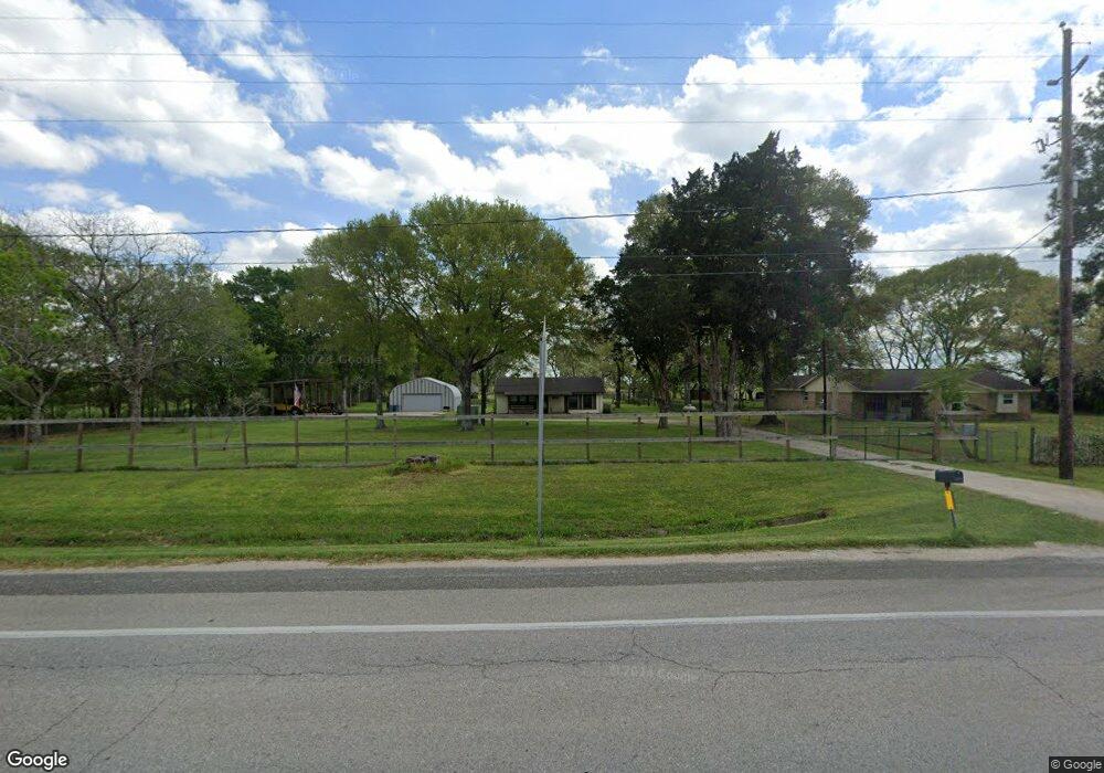
13139 Fm 442 Rd Needville, TX 77461
Estimated Value: $289,000 - $365,765
2
Beds
1
Bath
748
Sq Ft
$431/Sq Ft
Est. Value
About This Home
This home is located at 13139 Fm 442 Rd, Needville, TX 77461 and is currently estimated at $322,691, approximately $431 per square foot. 13139 Fm 442 Rd is a home located in Fort Bend County with nearby schools including Needville Elementary School, Needville Junior High School, and Needville Middle School.
Ownership History
Date
Name
Owned For
Owner Type
Purchase Details
Closed on
Jul 11, 2012
Sold by
Nicholson Billy D and Nicholson Ruth E
Bought by
Carlisle Benjamin D
Current Estimated Value
Home Financials for this Owner
Home Financials are based on the most recent Mortgage that was taken out on this home.
Original Mortgage
$127,551
Outstanding Balance
$88,545
Interest Rate
3.79%
Mortgage Type
New Conventional
Estimated Equity
$234,146
Create a Home Valuation Report for This Property
The Home Valuation Report is an in-depth analysis detailing your home's value as well as a comparison with similar homes in the area
Home Values in the Area
Average Home Value in this Area
Purchase History
| Date | Buyer | Sale Price | Title Company |
|---|---|---|---|
| Carlisle Benjamin D | -- | Startex Title Company |
Source: Public Records
Mortgage History
| Date | Status | Borrower | Loan Amount |
|---|---|---|---|
| Open | Carlisle Benjamin D | $127,551 |
Source: Public Records
Tax History Compared to Growth
Tax History
| Year | Tax Paid | Tax Assessment Tax Assessment Total Assessment is a certain percentage of the fair market value that is determined by local assessors to be the total taxable value of land and additions on the property. | Land | Improvement |
|---|---|---|---|---|
| 2025 | $2,887 | $247,926 | $263,813 | $75,865 |
| 2024 | $2,887 | $225,387 | $130,935 | $94,452 |
| 2023 | $2,526 | $204,897 | $121,458 | $83,439 |
| 2022 | $2,992 | $186,270 | $110,370 | $75,900 |
| 2021 | $3,210 | $169,340 | $99,910 | $69,430 |
| 2020 | $3,476 | $171,970 | $99,910 | $72,060 |
| 2019 | $3,357 | $156,340 | $99,910 | $56,430 |
| 2018 | $3,048 | $142,130 | $94,990 | $47,140 |
| 2017 | $2,779 | $129,210 | $61,430 | $67,780 |
| 2016 | $2,567 | $119,320 | $52,800 | $66,520 |
| 2015 | $2,171 | $122,550 | $56,570 | $65,980 |
| 2014 | $2,066 | $108,670 | $56,570 | $52,100 |
Source: Public Records
Map
Nearby Homes
- 14935 Highway 36
- 14624 Dove Ln
- 0 Colony Rd
- 14238 Hay Meadow Ln
- 14234 Hay Meadow Ln
- 10853 Padon Rd
- 14218 Hay Meadow Ln
- 14214 Hay Meadow Ln
- 14235 Hay Meadow Ln
- 14231 Hay Meadow Ln
- 14222 Hay Meadow Ln
- 14239 Hay Meadow Ln
- 14227 Hay Meadow Ln
- 14226 Hay Meadow Ln
- 14230 Hay Meadow Ln
- 14218 Golden Wheat Ln
- 11802 Padon Rd
- Creede Plan at Harvest Pointe
- San Marcos Plan at Harvest Pointe
- Aquila Plan at Harvest Pointe
- 13213 Fm 442 Rd
- 13214 Fm 442 Rd
- 13036 Fm 442 Rd
- 13243 Fm 442 Rd
- 15720 Highway 36
- 13102 Fm 442 Rd
- 13238 Fm 442 Rd
- 13327 Fm 442 Rd
- 13135 Roesler Rd
- 13105 Roesler Rd
- 13335 Fm 442 Rd
- 13334 Fm 442 Rd
- 15602 Highway 36
- 15420 Highway 36
- 15518 Highway 36
- 20103 Highway 36
- 13007 Roesler Rd
- 00 Dippel Lehmann Rd
- 0 Dipple-Lehman Rd Unit 45522131
- 0 Dipple-Lehman Rd Unit 1876627