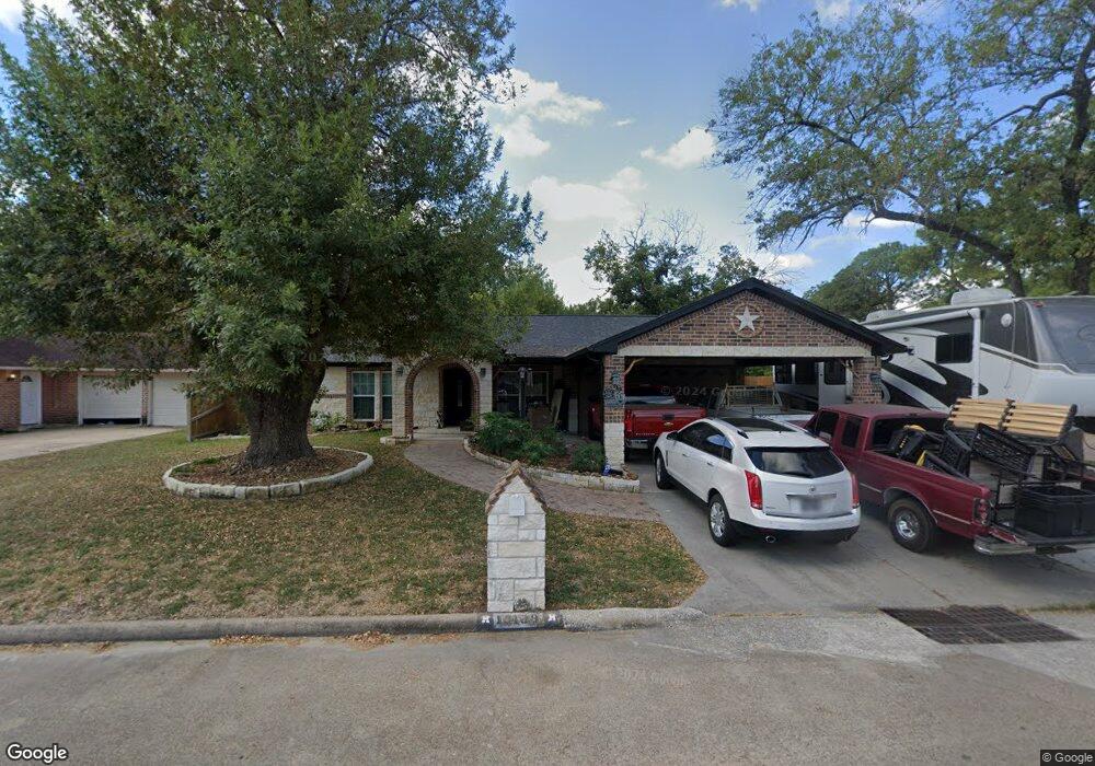
13139 Woodington Dr Houston, TX 77038
North Houston NeighborhoodEstimated Value: $216,456 - $246,000
3
Beds
2
Baths
1,518
Sq Ft
$153/Sq Ft
Est. Value
About This Home
This home is located at 13139 Woodington Dr, Houston, TX 77038 and is currently estimated at $232,614, approximately $153 per square foot. 13139 Woodington Dr is a home located in Harris County with nearby schools including Gloria B. Sammons Elementary School, Stovall School, and Dr. Viola K. Garcia Middle School.
Ownership History
Date
Name
Owned For
Owner Type
Purchase Details
Closed on
Aug 13, 2019
Sold by
Mikush Sheryl L
Bought by
Lemus Sofia Victoria
Current Estimated Value
Home Financials for this Owner
Home Financials are based on the most recent Mortgage that was taken out on this home.
Original Mortgage
$131,868
Outstanding Balance
$114,398
Interest Rate
3.25%
Mortgage Type
FHA
Estimated Equity
$118,216
Purchase Details
Closed on
Apr 27, 2014
Sold by
Mikush Craig J
Bought by
Mikush Sheryl L
Create a Home Valuation Report for This Property
The Home Valuation Report is an in-depth analysis detailing your home's value as well as a comparison with similar homes in the area
Home Values in the Area
Average Home Value in this Area
Purchase History
| Date | Buyer | Sale Price | Title Company |
|---|---|---|---|
| Lemus Sofia Victoria | -- | Providence Title Company | |
| Mikush Sheryl L | -- | None Available |
Source: Public Records
Mortgage History
| Date | Status | Borrower | Loan Amount |
|---|---|---|---|
| Open | Lemus Sofia Victoria | $131,868 |
Source: Public Records
Tax History Compared to Growth
Tax History
| Year | Tax Paid | Tax Assessment Tax Assessment Total Assessment is a certain percentage of the fair market value that is determined by local assessors to be the total taxable value of land and additions on the property. | Land | Improvement |
|---|---|---|---|---|
| 2025 | $5,237 | $203,930 | $36,310 | $167,620 |
| 2024 | $5,237 | $199,127 | $36,310 | $162,817 |
| 2023 | $5,237 | $199,127 | $36,310 | $162,817 |
| 2022 | $4,938 | $179,492 | $36,310 | $143,182 |
| 2021 | $4,457 | $156,365 | $21,786 | $134,579 |
| 2020 | $4,338 | $143,551 | $21,786 | $121,765 |
| 2019 | $3,938 | $125,673 | $21,786 | $103,887 |
| 2018 | $1,323 | $118,619 | $21,786 | $96,833 |
| 2017 | $3,276 | $118,619 | $21,786 | $96,833 |
| 2016 | $2,978 | $96,796 | $21,786 | $75,010 |
| 2015 | $1,432 | $99,499 | $21,786 | $77,713 |
| 2014 | $1,432 | $64,323 | $14,524 | $49,799 |
Source: Public Records
Map
Nearby Homes
- 2614 Lemonwood Ln
- 2530 Woodtown Dr
- 2719 Magnolia Hill Trail
- 2811 Oakland Brook St
- 2203 Chalet Rd
- 2831 Oakland Brook St
- 2835 Oakland Brook St
- 2838 Packard Elm St
- 2115 Havencrest Dr
- 0 W Mt Houston Rd Unit 90464120
- 00 Fallbrook Dr
- 12718 Sai Baba Dr
- 1327 Fallbrook Dr
- 3127 Frick Rd
- 1219 Pilot Point Dr
- Whitetail Plan at Forestwood
- Kitson Plan at Forestwood
- Pinehollow Plan at Forestwood
- 12530 Wild Strawberry Rd
- Idlewood Plan at Forestwood
- 13135 Woodington Dr
- 13130 Berkwood Ct
- 13126 Berkwood Ct
- 13131 Woodington Dr
- 13122 Berkwood Ct
- 2418 Woodsdale Blvd
- 2422 Woodsdale Blvd
- 13138 Woodington Dr
- 2414 Woodsdale Blvd
- 13127 Woodington Dr
- 2426 Woodsdale Blvd
- 13134 Woodington Dr
- 13118 Berkwood Ct
- 2410 Woodsdale Blvd
- 13130 Woodington Dr
- 2430 Woodsdale Blvd
- 13123 Woodington Dr
- 13124 Woodington Dr
- 13126 Woodington Dr
- 13114 Berkwood Ct