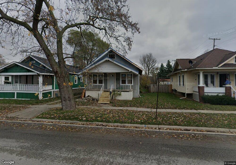
1314 13th St Port Huron, MI 48060
Estimated Value: $45,000 - $135,000
3
Beds
1
Bath
1,125
Sq Ft
$84/Sq Ft
Est. Value
About This Home
This home is located at 1314 13th St, Port Huron, MI 48060 and is currently estimated at $94,098, approximately $83 per square foot. 1314 13th St is a home located in St. Clair County with nearby schools including Woodrow Wilson Elementary School, Central Middle School, and Port Huron High School.
Ownership History
Date
Name
Owned For
Owner Type
Purchase Details
Closed on
Feb 17, 2026
Sold by
Miles Sarah
Bought by
Sentinel Legacy Great Lakes Llc
Current Estimated Value
Purchase Details
Closed on
Nov 1, 2025
Sold by
Heidt Brian
Bought by
Miles Sarah
Purchase Details
Closed on
May 3, 2024
Sold by
Dalpian Chad
Bought by
Heidt Brian
Purchase Details
Closed on
Oct 13, 2023
Sold by
Saint Clair County Treasurer
Bought by
Dalpian Chad Thomas
Purchase Details
Closed on
Dec 27, 2021
Sold by
Boom Sc Llc
Bought by
Homi Holdings Llc
Purchase Details
Closed on
Dec 12, 2017
Sold by
Rvfm 6 Llc
Bought by
Boom Sc Llc
Purchase Details
Closed on
Jan 6, 2015
Sold by
U S Bank Na
Bought by
Rvfm 6 Llc
Purchase Details
Closed on
Jul 10, 2014
Sold by
Achuff Carol Elizabeth
Bought by
U S Bank Na
Create a Home Valuation Report for This Property
The Home Valuation Report is an in-depth analysis detailing your home's value as well as a comparison with similar homes in the area
Home Values in the Area
Average Home Value in this Area
Purchase History
| Date | Buyer | Sale Price | Title Company |
|---|---|---|---|
| Sentinel Legacy Great Lakes Llc | $7,000 | None Listed On Document | |
| Miles Sarah | $1,000 | None Listed On Document | |
| Heidt Brian | $14,500 | None Listed On Document | |
| Dalpian Chad Thomas | $10,100 | None Listed On Document | |
| Homi Holdings Llc | -- | Us Home Rentals | |
| Boom Sc Llc | -- | -- | |
| Rvfm 6 Llc | $7,177 | Premium Title | |
| U S Bank Na | $45,000 | None Available |
Source: Public Records
Tax History
| Year | Tax Paid | Tax Assessment Tax Assessment Total Assessment is a certain percentage of the fair market value that is determined by local assessors to be the total taxable value of land and additions on the property. | Land | Improvement |
|---|---|---|---|---|
| 2025 | $1,143 | $17,600 | $0 | $0 |
| 2024 | $2,366 | $20,700 | $0 | $0 |
| 2023 | $858 | $19,500 | $0 | $0 |
| 2022 | $1,644 | $16,100 | $0 | $0 |
| 2020 | $3,774 | $29,700 | $29,700 | $0 |
| 2019 | $2,248 | $23,200 | $0 | $0 |
| 2018 | $1,004 | $23,200 | $0 | $0 |
| 2017 | $945 | $22,300 | $0 | $0 |
| 2016 | $800 | $22,300 | $0 | $0 |
| 2015 | $1,246 | $21,800 | $21,800 | $0 |
| 2014 | $1,246 | $21,000 | $21,000 | $0 |
| 2013 | -- | $21,300 | $0 | $0 |
Source: Public Records
Map
Nearby Homes
Your Personal Tour Guide
Ask me questions while you tour the home.