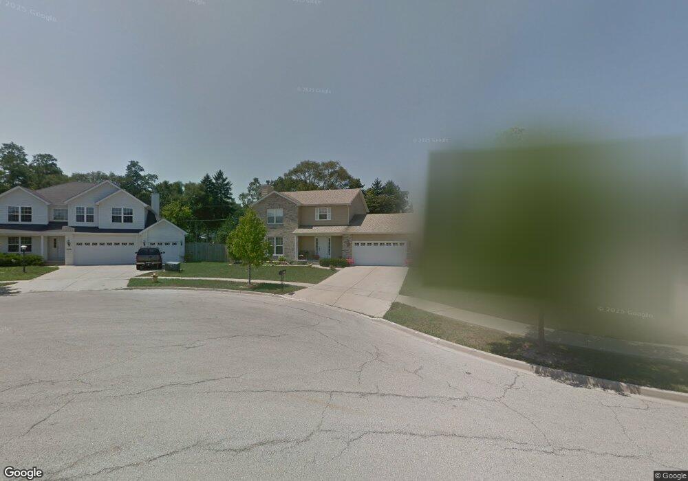
1314 Anthony Ct Waukegan, IL 60087
Estimated Value: $315,000 - $370,546
3
Beds
3
Baths
2,112
Sq Ft
$167/Sq Ft
Est. Value
About This Home
This home is located at 1314 Anthony Ct, Waukegan, IL 60087 and is currently estimated at $352,387, approximately $166 per square foot. 1314 Anthony Ct is a home located in Lake County with nearby schools including Oak Crest School, Beach Park Middle School, and Zion-Benton Township High School.
Ownership History
Date
Name
Owned For
Owner Type
Purchase Details
Closed on
Nov 22, 2004
Sold by
Bank Of Waukegan
Bought by
Nangah Daniel A
Current Estimated Value
Home Financials for this Owner
Home Financials are based on the most recent Mortgage that was taken out on this home.
Original Mortgage
$202,621
Interest Rate
6.24%
Mortgage Type
Purchase Money Mortgage
Create a Home Valuation Report for This Property
The Home Valuation Report is an in-depth analysis detailing your home's value as well as a comparison with similar homes in the area
Home Values in the Area
Average Home Value in this Area
Purchase History
| Date | Buyer | Sale Price | Title Company |
|---|---|---|---|
| Nangah Daniel A | $253,500 | Chicago Title Insurance Comp |
Source: Public Records
Mortgage History
| Date | Status | Borrower | Loan Amount |
|---|---|---|---|
| Previous Owner | Nangah Daniel A | $202,621 | |
| Closed | Nangah Daniel A | $50,655 |
Source: Public Records
Tax History Compared to Growth
Tax History
| Year | Tax Paid | Tax Assessment Tax Assessment Total Assessment is a certain percentage of the fair market value that is determined by local assessors to be the total taxable value of land and additions on the property. | Land | Improvement |
|---|---|---|---|---|
| 2024 | $10,051 | $100,565 | $6,059 | $94,506 |
| 2023 | $10,056 | $88,166 | $5,849 | $82,317 |
| 2022 | $10,056 | $84,557 | $5,714 | $78,843 |
| 2021 | $10,378 | $82,407 | $5,569 | $76,838 |
| 2020 | $10,198 | $78,640 | $5,314 | $73,326 |
| 2019 | $10,181 | $74,611 | $5,042 | $69,569 |
| 2018 | $9,269 | $66,428 | $6,009 | $60,419 |
| 2017 | $9,164 | $62,491 | $5,653 | $56,838 |
| 2016 | $8,953 | $59,493 | $5,382 | $54,111 |
| 2015 | $8,690 | $54,561 | $4,936 | $49,625 |
| 2014 | $8,451 | $55,462 | $12,782 | $42,680 |
| 2012 | $9,671 | $64,991 | $13,283 | $51,708 |
Source: Public Records
Map
Nearby Homes
- 3810 Cedar Ave
- 1113 Tewes Ln
- 38169 N North Shore Ave
- 10867 W Beach Rd
- 38697 N Cedar Ave
- 38362 N Manor Ave
- 1730 W Beach Rd
- 38119 N Wilson Ave
- 37966 N Cornell Rd
- 38383 N Tewes Ct
- 11471 W Leland Ave
- 37905 N Loyola Ave
- 11342-11364 W Wadsworth Rd
- 1636 Rice St
- 10038 W Beach Rd
- 10160 W Fairbanks Ave
- 10241 W Bairstow Ave
- 39161 N Holdridge Ave
- 38842-60 Sheridan Rd
- 39285 N Garnett Ave
- 1310 Anthony Ct
- 1318 Anthony Ct
- 1306 Anthony Ct
- 1322 Anthony Ct
- 1326 Anthony Ct
- 1327 Anthony Ct
- 1302 Anthony Ct
- 3661 N De Woody Rd
- 38390 N De Woody Rd
- 1330 Anthony Ct
- 1375 Anthony Ct
- 38416 N De Woody Rd
- 38354 N De Woody Rd
- 1331 Anthony Ct
- 38338 N De Woody Rd
- 3657 N De Woody Rd
- 1371 Anthony Ct
- 1334 Anthony Ct
- 38372 N De Woody Rd
- 38336 N De Woody Rd