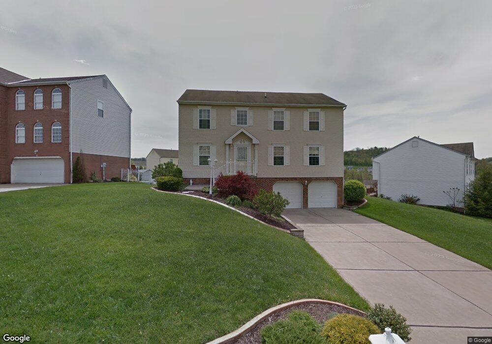
1314 Morgan Cir Canonsburg, PA 15317
Estimated Value: $423,000 - $487,000
4
Beds
3
Baths
2,246
Sq Ft
$202/Sq Ft
Est. Value
About This Home
This home is located at 1314 Morgan Cir, Canonsburg, PA 15317 and is currently estimated at $454,147, approximately $202 per square foot. 1314 Morgan Cir is a home located in Washington County with nearby schools including Canon-Mcmillan Senior High School.
Ownership History
Date
Name
Owned For
Owner Type
Purchase Details
Closed on
Oct 22, 1999
Sold by
Maronda Homes Inc
Bought by
Newmaster Lawrence F
Current Estimated Value
Home Financials for this Owner
Home Financials are based on the most recent Mortgage that was taken out on this home.
Original Mortgage
$105,000
Outstanding Balance
$31,534
Interest Rate
7.76%
Estimated Equity
$422,613
Create a Home Valuation Report for This Property
The Home Valuation Report is an in-depth analysis detailing your home's value as well as a comparison with similar homes in the area
Home Values in the Area
Average Home Value in this Area
Purchase History
| Date | Buyer | Sale Price | Title Company |
|---|---|---|---|
| Newmaster Lawrence F | $140,000 | -- |
Source: Public Records
Mortgage History
| Date | Status | Borrower | Loan Amount |
|---|---|---|---|
| Open | Newmaster Lawrence F | $105,000 |
Source: Public Records
Tax History Compared to Growth
Tax History
| Year | Tax Paid | Tax Assessment Tax Assessment Total Assessment is a certain percentage of the fair market value that is determined by local assessors to be the total taxable value of land and additions on the property. | Land | Improvement |
|---|---|---|---|---|
| 2025 | $4,816 | $281,700 | $71,300 | $210,400 |
| 2024 | $4,496 | $281,700 | $71,300 | $210,400 |
| 2023 | $4,496 | $281,700 | $71,300 | $210,400 |
| 2022 | $4,483 | $281,700 | $71,300 | $210,400 |
| 2021 | $4,483 | $281,700 | $71,300 | $210,400 |
| 2020 | $4,256 | $281,700 | $71,300 | $210,400 |
| 2019 | $4,186 | $281,700 | $71,300 | $210,400 |
| 2018 | $4,099 | $281,700 | $71,300 | $210,400 |
| 2017 | $1,285 | $281,700 | $71,300 | $210,400 |
| 2016 | $1,285 | $36,850 | $6,763 | $30,087 |
| 2015 | $4,249 | $36,850 | $6,763 | $30,087 |
| 2014 | $1,341 | $36,850 | $6,763 | $30,087 |
| 2013 | $1,341 | $36,850 | $6,763 | $30,087 |
Source: Public Records
Map
Nearby Homes
- 118 Maple Ridge Dr
- 113 Maple Ridge Ct
- 151 Liberty Blvd
- 205 Maple Ridge Dr
- 238 Maple Ridge Dr
- 235 Liberty Blvd
- 1029 Woodlawn Dr
- The Franklin Plan at Southpointe
- The Betsy Ross Plan at Southpointe
- The Washington Plan at Southpointe
- The Grant Plan at Southpointe
- The Hancock Plan at Southpointe
- 454 Independence Way
- 304 Maple Ridge Dr
- 310 Maple Ridge Dr
- 1009 Waterford Ct W
- 153 Twilight Dr
- 1047 Waterford Ct E
- 127 Fairway Landings Dr
- 612 Hunting Creek Rd
- 1310 Morgan Cir
- 1316 Morgan Cir
- 1306 Morgan Cir
- 1211 Pioneer Trail
- 1207 Pioneer Trail
- 1313 Morgan Cir
- 1315 Morgan Cir
- 1318 Morgan Cir
- 1205 Pioneer Trail
- 1309 Morgan Cir
- 1317 Morgan Cir
- 1311 Morgan Cir
- 1304 Morgan Cir
- 1203 Pioneer Trail
- 1305 Morgan Cirlce
- 1305 Morgan Cir
- 1319 Morgan Cir
- 1303 Morgan Cir
- 1302 Morgan Cir
- 1210 Pioneer Trail