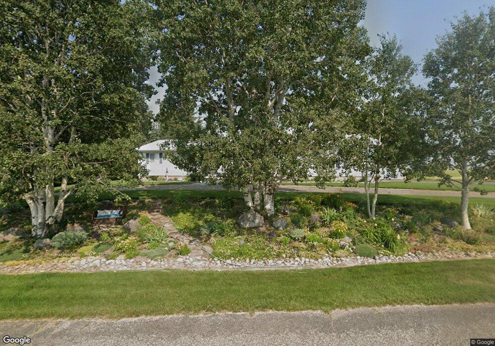
1314 N 4200 E Ashton, ID 83420
Estimated Value: $481,409 - $664,000
4
Beds
3
Baths
3,008
Sq Ft
$199/Sq Ft
Est. Value
About This Home
This home is located at 1314 N 4200 E, Ashton, ID 83420 and is currently estimated at $597,852, approximately $198 per square foot. 1314 N 4200 E is a home located in Fremont County with nearby schools including Ashton Elementary School and North Fremont Junior/Senior High School.
Ownership History
Date
Name
Owned For
Owner Type
Purchase Details
Closed on
Aug 19, 2013
Sold by
Anthony Lorraine
Bought by
Kuehl Mark E and Kuehl Kaye
Current Estimated Value
Home Financials for this Owner
Home Financials are based on the most recent Mortgage that was taken out on this home.
Original Mortgage
$36,000
Interest Rate
4.33%
Mortgage Type
Purchase Money Mortgage
Create a Home Valuation Report for This Property
The Home Valuation Report is an in-depth analysis detailing your home's value as well as a comparison with similar homes in the area
Purchase History
| Date | Buyer | Sale Price | Title Company |
|---|---|---|---|
| Kuehl Mark E | -- | None Available |
Source: Public Records
Mortgage History
| Date | Status | Borrower | Loan Amount |
|---|---|---|---|
| Closed | Kuehl Mark E | $36,000 |
Source: Public Records
Tax History
| Year | Tax Paid | Tax Assessment Tax Assessment Total Assessment is a certain percentage of the fair market value that is determined by local assessors to be the total taxable value of land and additions on the property. | Land | Improvement |
|---|---|---|---|---|
| 2025 | $910 | $220,306 | $41,000 | $179,306 |
| 2024 | $917 | $212,884 | $41,000 | $171,884 |
| 2023 | $861 | $212,884 | $41,000 | $171,884 |
| 2022 | $938 | $129,008 | $16,500 | $112,508 |
| 2021 | $829 | $83,213 | $16,500 | $66,713 |
| 2020 | $1,519 | $161,973 | $16,500 | $145,473 |
| 2019 | $1,500 | $161,973 | $16,500 | $145,473 |
| 2018 | $873 | $79,502 | $16,500 | $63,002 |
| 2017 | $10 | $77,027 | $16,005 | $61,022 |
| 2016 | $957 | $77,027 | $16,005 | $61,022 |
| 2015 | $1,092 | $154,056 | $0 | $0 |
| 2014 | $812 | $77,027 | $0 | $0 |
| 2013 | $812 | $77,434 | $0 | $0 |
Source: Public Records
Map
Nearby Homes
- TBD 84AC E 1200 Rd N
- L12 BLK 1 E 1200 Rd N
- Lot 19 E 1200 Rd N
- Lot 16 E 1200 Rd N
- Lot 18 E 1200 Rd N
- Lot 17 E 1200 Rd N
- 4088 Lower Fishermans Dr
- 1547 Cherry Butte Rd
- 1582 Maggie Ln
- 1603 Royal Coachman Dr
- 4451 Golden Eagle Dr
- 1593 Sharptail Ln E
- 4449 Grey Owl Dr
- 1614 Renegade Fly Dr
- 1600 Cherry Butte Rd
- 1631 Royal Coachman Dr
- 1625 Renegade Fly Dr
- 1634 Renegade Fly Dr
- 1657 Renegade Fly Dr
- 3938 Schaefer Ln
- 4194 E 1300 N
- 4198 E 1300 N
- 1250 N 4200 E
- 1342 N 4200 E
- 4151 E 1300 N
- 1383 N 4200 E
- TBD Ashton Hill Loop
- tbd E 1350 N
- tbd E 10000 N
- 85 White Pine Ave
- N/A 4500 E
- lot 1 Sec 19 - Private Ln
- 4300 E 1500 N (Green Timber Area)
- L2B1 Brookside Lane(7 54 Ac)
- L9B2 Brookside Lane(2 04 Ac)
- lot 1 Section 19 - Private Ln
- 20A Mountain Laurel Dr
- TBD N On Hwy 20-Left Ranger Station
- TBD Teton View Dr
- L17 Ashton Hill Loop
Your Personal Tour Guide
Ask me questions while you tour the home.