1314 Top of The Hill Rd Unit B Chesterfield, MO 63005
Estimated Value: $1,328,000 - $1,379,000
3
Beds
--
Bath
2,721
Sq Ft
$496/Sq Ft
Est. Value
About This Home
This home is located at 1314 Top of The Hill Rd Unit B, Chesterfield, MO 63005 and is currently estimated at $1,350,685, approximately $496 per square foot. 1314 Top of The Hill Rd Unit B is a home located in Franklin County with nearby schools including Washington High School.
Ownership History
Date
Name
Owned For
Owner Type
Purchase Details
Closed on
Aug 19, 2019
Sold by
Bunten Gerard S and Bunten Marta L
Bought by
Nicholas Scott Patrick and Gentsch Julie Heather
Current Estimated Value
Purchase Details
Closed on
Oct 22, 2012
Sold by
Mitchell David James
Bought by
Bunten Gerald S
Home Financials for this Owner
Home Financials are based on the most recent Mortgage that was taken out on this home.
Original Mortgage
$87,164
Interest Rate
3.52%
Mortgage Type
New Conventional
Create a Home Valuation Report for This Property
The Home Valuation Report is an in-depth analysis detailing your home's value as well as a comparison with similar homes in the area
Home Values in the Area
Average Home Value in this Area
Purchase History
| Date | Buyer | Sale Price | Title Company |
|---|---|---|---|
| Nicholas Scott Patrick | -- | None Available | |
| Bunten Gerald S | $85,000 | Integrity Land Title Co Inc |
Source: Public Records
Mortgage History
| Date | Status | Borrower | Loan Amount |
|---|---|---|---|
| Previous Owner | Bunten Gerald S | $87,164 |
Source: Public Records
Tax History Compared to Growth
Tax History
| Year | Tax Paid | Tax Assessment Tax Assessment Total Assessment is a certain percentage of the fair market value that is determined by local assessors to be the total taxable value of land and additions on the property. | Land | Improvement |
|---|---|---|---|---|
| 2024 | $5,116 | $74,757 | $0 | $0 |
| 2023 | $5,116 | $74,757 | $0 | $0 |
| 2022 | $4,767 | $73,372 | $0 | $0 |
| 2021 | $3,739 | $57,097 | $0 | $0 |
| 2020 | $257 | $3,756 | $0 | $0 |
| 2019 | $257 | $3,756 | $0 | $0 |
| 2018 | $258 | $3,756 | $0 | $0 |
| 2017 | $258 | $3,756 | $0 | $0 |
| 2016 | $127 | $1,878 | $0 | $0 |
| 2015 | $120 | $1,878 | $0 | $0 |
| 2014 | $118 | $1,878 | $0 | $0 |
Source: Public Records
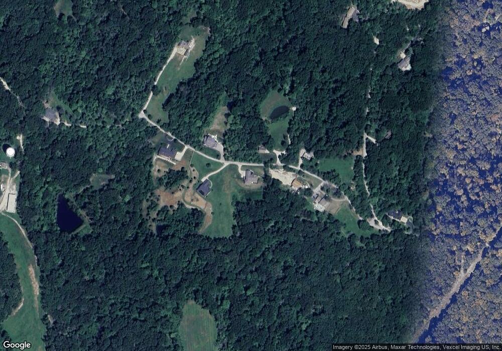
Map
Nearby Homes
- 1208 Babler Park Ct
- 1235 Wooded Fork Dr
- 1751 Eagle Bluff Ct
- 19323 Dogwood Valley Ct
- 19305 Dogwood Valley Ct
- 19385 Deer Pointe Estates Dr
- The Westbrooke Vista Plan at Cedars Valley of St. Albans
- The Parkview II Vista Plan at Cedars Valley of St. Albans
- The Nantucket Vista Plan at Cedars Valley of St. Albans
- The Nantucket II Vista Plan at Cedars Valley of St. Albans
- Parkview II Plan at Del Creek Crossing
- Nantucket II Plan at Del Creek Crossing
- Wyndham Plan at Del Creek Crossing
- Arlington II Plan at Del Creek Crossing
- Waterford II Plan at Del Creek Crossing
- Nantucket Plan at Del Creek Crossing
- Durham II Plan at Del Creek Crossing
- Woodside Plan at Del Creek Crossing
- Westbrooke Plan at Del Creek Crossing
- 1138 Wings Rd
- 1326 Top of The Hill Rd
- 1308 Top of The Hill Rd
- 1319 Top of The Hill Rd
- 1327 Top of The Hill Rd
- 1327 Top of The Hill Rd
- 1348 Top of the Hill
- 0 Top of The Hill Rd Unit 80048887
- 0 Top of The Hill Rd Unit 80048890
- 0 Top of The Hill Rd Unit 14039893
- 0 Top of The Hill Rd Unit 16072981
- 1337 Top of The Hill Rd
- 19370 Babler Forest Rd
- 1348 Top of the Hill Rd Rd
- 0 Cedar Fork Rd Unit 17096972
- 19362 Babler Forest Rd
- 25795 Cedar Fork Rd
- 19499 Piddle Crick Hill Rd
- 615 Babler Farms Lane (Lot 4) Dr
- 2bblt Arbor Grove Ct
- 25785 Cedar Fork Rd