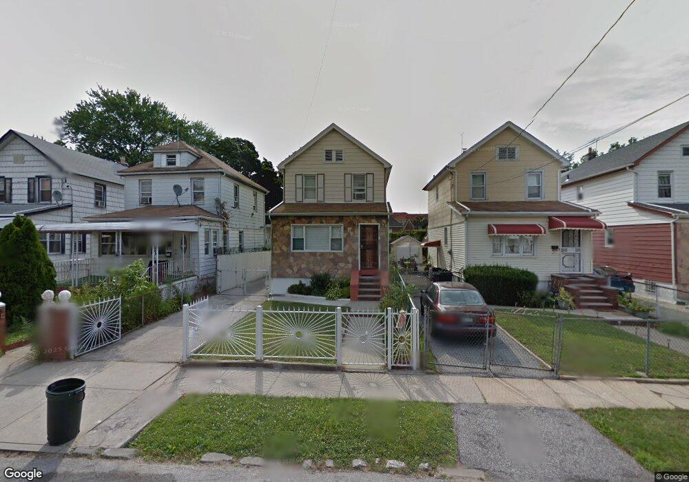
13141 223rd St Springfield Gardens, NY 11413
Laurelton NeighborhoodEstimated Value: $630,632 - $698,000
--
Bed
--
Bath
1,044
Sq Ft
$637/Sq Ft
Est. Value
About This Home
This home is located at 13141 223rd St, Springfield Gardens, NY 11413 and is currently estimated at $664,658, approximately $636 per square foot. 13141 223rd St is a home located in Queens County with nearby schools including P.S. 132 - Ralph Bunche, Is 59 Springfield Gardens, and Merrick Academy Charter School.
Ownership History
Date
Name
Owned For
Owner Type
Purchase Details
Closed on
Apr 30, 2012
Sold by
Ferreira Francis W and Ferreira Marlene P
Bought by
Bissoon Eric N and Bissoon Tessa
Current Estimated Value
Home Financials for this Owner
Home Financials are based on the most recent Mortgage that was taken out on this home.
Original Mortgage
$311,383
Outstanding Balance
$215,742
Interest Rate
3.9%
Mortgage Type
New Conventional
Estimated Equity
$448,916
Create a Home Valuation Report for This Property
The Home Valuation Report is an in-depth analysis detailing your home's value as well as a comparison with similar homes in the area
Home Values in the Area
Average Home Value in this Area
Purchase History
| Date | Buyer | Sale Price | Title Company |
|---|---|---|---|
| Bissoon Eric N | $322,000 | -- |
Source: Public Records
Mortgage History
| Date | Status | Borrower | Loan Amount |
|---|---|---|---|
| Open | Bissoon Eric N | $311,383 |
Source: Public Records
Tax History Compared to Growth
Tax History
| Year | Tax Paid | Tax Assessment Tax Assessment Total Assessment is a certain percentage of the fair market value that is determined by local assessors to be the total taxable value of land and additions on the property. | Land | Improvement |
|---|---|---|---|---|
| 2025 | $5,146 | $25,817 | $8,860 | $16,957 |
| 2024 | $5,146 | $25,621 | $10,543 | $15,078 |
| 2023 | $4,855 | $24,172 | $8,499 | $15,673 |
| 2022 | $4,552 | $32,940 | $11,160 | $21,780 |
| 2021 | $4,528 | $27,300 | $11,160 | $16,140 |
| 2020 | $4,554 | $27,720 | $11,160 | $16,560 |
| 2019 | $4,466 | $25,920 | $11,160 | $14,760 |
| 2018 | $4,106 | $20,143 | $10,099 | $10,044 |
| 2017 | $3,874 | $19,003 | $9,737 | $9,266 |
| 2016 | $3,584 | $19,003 | $9,737 | $9,266 |
| 2015 | $2,162 | $17,928 | $10,280 | $7,648 |
| 2014 | $2,162 | $17,793 | $10,865 | $6,928 |
Source: Public Records
Map
Nearby Homes
- 131-35 222nd St
- 131-20 224th St
- 22310 131st Ave
- 133-23 225th St
- 131-41 226th St Unit 60
- 131-18 226th St
- 133-22 226th St
- 13062 225th St
- 133-15 220th St
- 130-43 224th St
- 130-55 222nd St
- 21931 133rd Ave
- 134-15 221st St
- 21917 132nd Rd
- 134-16 221st St
- 130-45 220th St
- 223-12 134th Rd
- 220-27 134th Rd
- 22126 134th Rd
- 13069 227th St
- 13137 223rd St
- 13143 223rd St
- 131-47 223rd St
- 13135 223rd St
- 115 47 223rd St
- 13147 223rd St
- 13131 223rd St
- 13149 223rd St
- 13138 224th St
- 13134 224th St
- 13142 224th St
- 13129 223rd St
- 13153 223rd St
- 13130 224th St
- 13146 224th St
- 131-38 224th St
- 13125 223rd St
- 13155 223rd St
- 131-42 223rd St
- 13140 223rd St