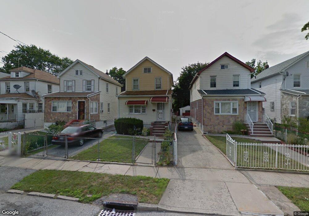
13143 223rd St Springfield Gardens, NY 11413
Laurelton NeighborhoodEstimated Value: $558,078 - $703,000
--
Bed
--
Bath
1,044
Sq Ft
$629/Sq Ft
Est. Value
About This Home
This home is located at 13143 223rd St, Springfield Gardens, NY 11413 and is currently estimated at $657,020, approximately $629 per square foot. 13143 223rd St is a home located in Queens County with nearby schools including P.S. 132 - Ralph Bunche, Is 59 Springfield Gardens, and Merrick Academy Charter School.
Ownership History
Date
Name
Owned For
Owner Type
Purchase Details
Closed on
Jun 5, 2018
Sold by
Doyley Marjorie and Doyley Van Riel Marjorie
Bought by
Armstrong Keisha and Doyley Marjorie
Current Estimated Value
Purchase Details
Closed on
Oct 24, 2002
Sold by
Vanriel Joseph and Doyley Van Riel Marjori
Bought by
Doyley Marjorie
Home Financials for this Owner
Home Financials are based on the most recent Mortgage that was taken out on this home.
Original Mortgage
$148,000
Interest Rate
6.17%
Create a Home Valuation Report for This Property
The Home Valuation Report is an in-depth analysis detailing your home's value as well as a comparison with similar homes in the area
Home Values in the Area
Average Home Value in this Area
Purchase History
| Date | Buyer | Sale Price | Title Company |
|---|---|---|---|
| Armstrong Keisha | -- | -- | |
| Doyley Marjorie | -- | -- |
Source: Public Records
Mortgage History
| Date | Status | Borrower | Loan Amount |
|---|---|---|---|
| Previous Owner | Doyley Marjorie | $148,000 |
Source: Public Records
Tax History Compared to Growth
Tax History
| Year | Tax Paid | Tax Assessment Tax Assessment Total Assessment is a certain percentage of the fair market value that is determined by local assessors to be the total taxable value of land and additions on the property. | Land | Improvement |
|---|---|---|---|---|
| 2025 | $4,814 | $26,873 | $7,671 | $19,202 |
| 2024 | $5,095 | $25,367 | $8,674 | $16,693 |
| 2023 | $4,814 | $25,367 | $7,401 | $17,966 |
| 2022 | $4,727 | $31,320 | $9,540 | $21,780 |
| 2021 | $4,695 | $27,300 | $9,540 | $17,760 |
| 2020 | $4,444 | $27,720 | $9,540 | $18,180 |
| 2019 | $4,129 | $25,920 | $9,540 | $16,380 |
| 2018 | $1,857 | $21,139 | $9,084 | $12,055 |
| 2017 | $3,967 | $20,928 | $8,969 | $11,959 |
| 2016 | $3,641 | $20,928 | $8,969 | $11,959 |
| 2015 | $2,161 | $18,662 | $9,175 | $9,487 |
| 2014 | $2,161 | $17,616 | $9,090 | $8,526 |
Source: Public Records
Map
Nearby Homes
- 131-35 222nd St
- 131-20 224th St
- 22310 131st Ave
- 133-23 225th St
- 131-41 226th St Unit 60
- 131-18 226th St
- 133-22 226th St
- 13062 225th St
- 133-15 220th St
- 130-43 224th St
- 130-55 222nd St
- 21931 133rd Ave
- 134-15 221st St
- 21917 132nd Rd
- 134-16 221st St
- 130-45 220th St
- 223-12 134th Rd
- 220-27 134th Rd
- 22126 134th Rd
- 13069 227th St
- 13141 223rd St
- 13147 223rd St
- 115 47 223rd St
- 131-47 223rd St
- 13137 223rd St
- 13149 223rd St
- 13135 223rd St
- 13153 223rd St
- 13142 224th St
- 13138 224th St
- 13146 224th St
- 13131 223rd St
- 13155 223rd St
- 13134 224th St
- 13150 224th St
- 13129 223rd St
- 13159 223rd St
- 131-42 223rd St
- 13130 224th St
- 131-38 224th St