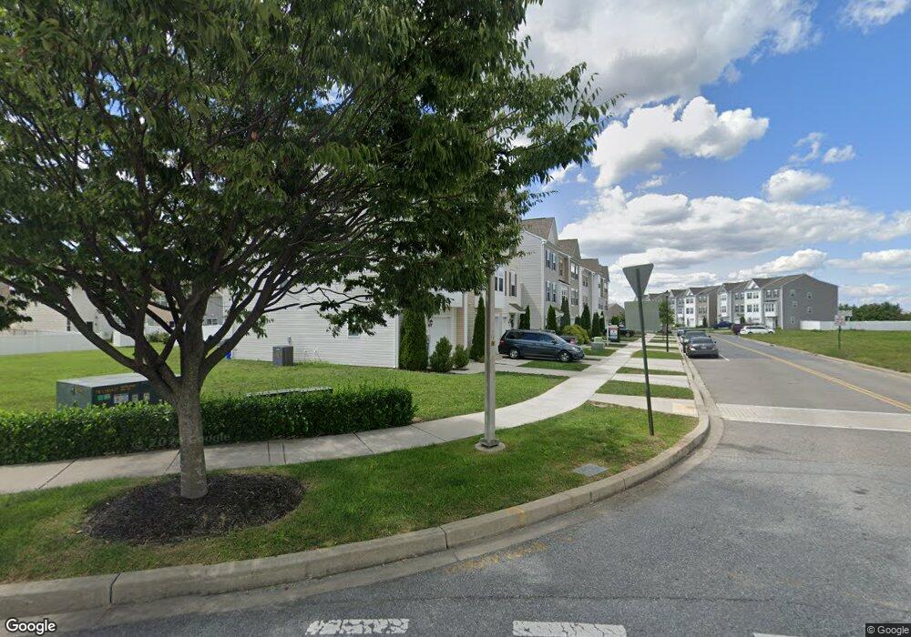
13143 Nittany Lion Cir Hagerstown, MD 21740
Collegiate Acres NeighborhoodEstimated Value: $264,935 - $338,000
--
Bed
2
Baths
1,936
Sq Ft
$158/Sq Ft
Est. Value
About This Home
This home is located at 13143 Nittany Lion Cir, Hagerstown, MD 21740 and is currently estimated at $306,484, approximately $158 per square foot. 13143 Nittany Lion Cir is a home located in Washington County with nearby schools including Maugansville Elementary School, Western Heights Middle School, and North Hagerstown High School.
Ownership History
Date
Name
Owned For
Owner Type
Purchase Details
Closed on
Oct 24, 2016
Sold by
Dan Ryan Builders Mid Atlantic Llc
Bought by
Brown Donald and Huber William
Current Estimated Value
Home Financials for this Owner
Home Financials are based on the most recent Mortgage that was taken out on this home.
Original Mortgage
$204,339
Outstanding Balance
$164,024
Interest Rate
3.5%
Mortgage Type
FHA
Estimated Equity
$142,460
Purchase Details
Closed on
Nov 24, 2015
Sold by
Beazer Homes Corp
Bought by
Dan Ryan Builders Mid Atlantic Inc
Create a Home Valuation Report for This Property
The Home Valuation Report is an in-depth analysis detailing your home's value as well as a comparison with similar homes in the area
Home Values in the Area
Average Home Value in this Area
Purchase History
| Date | Buyer | Sale Price | Title Company |
|---|---|---|---|
| Brown Donald | $208,109 | Keystone Title Settlement Se | |
| Dan Ryan Builders Mid Atlantic Inc | $97,500 | Keystone Title Settlement Sv |
Source: Public Records
Mortgage History
| Date | Status | Borrower | Loan Amount |
|---|---|---|---|
| Open | Brown Donald | $204,339 |
Source: Public Records
Tax History Compared to Growth
Tax History
| Year | Tax Paid | Tax Assessment Tax Assessment Total Assessment is a certain percentage of the fair market value that is determined by local assessors to be the total taxable value of land and additions on the property. | Land | Improvement |
|---|---|---|---|---|
| 2025 | $1,800 | $233,900 | $35,000 | $198,900 |
| 2024 | $1,800 | $214,967 | $0 | $0 |
| 2023 | $1,704 | $196,033 | $0 | $0 |
| 2022 | $1,613 | $177,100 | $35,000 | $142,100 |
| 2021 | $1,590 | $173,933 | $0 | $0 |
| 2020 | $1,590 | $170,767 | $0 | $0 |
| 2019 | $1,567 | $167,600 | $35,000 | $132,600 |
| 2018 | $1,543 | $165,067 | $0 | $0 |
| 2017 | $1,520 | $162,533 | $0 | $0 |
| 2016 | -- | $30,000 | $0 | $0 |
| 2015 | -- | $30,000 | $0 | $0 |
| 2014 | -- | $30,000 | $0 | $0 |
Source: Public Records
Map
Nearby Homes
- 12922 Nittany Lion Cir
- 12922 Salem Ave
- 1328 Outer Dr
- 1349 Cedarwood Dr
- 1424 Outer Dr
- 1229 Wayne Ave
- 343 A&B Woodpoint Ave
- 343 Woodpoint Ave Unit A & B
- 1362 Connecticut Ave
- 341 A&B Woodpoint Ave
- 341 Woodpoint Ave Unit A & B
- 1361 Connecticut Ave
- 1355 Connecticut Ave
- 1113 Green Ln
- 1223 Glenwood Ave
- 1321 Marshall St
- 1181 Wayne Ave
- 0 Haven Rd
- 17734 Perlite Way
- 924 Kasinof Ave
- 13145 Nittany Lion Cir
- 13149 Nittany Lion Cir
- 13141 Nittany Lion Cir
- 13151 Nittany Lion Cir
- 13137 Nittany Lion Cir
- 13135 Nittany Lion Cir
- 13133 Nittany Lion Cir
- 13153 Nittany Lion Cir
- 13131 Nittany Lion Cir
- 18242 Hurricane Ct
- 18234 Hurricane Ct
- 18240 Hurricane Ct
- 18244 Hurricane Ct
- 18232 Hurricane Ct
- 18248 Hurricane Ct
- 18230 Hurricane Ct
- 18250 Hurricane Ct
- 13127 Nittany Lion Cir
- 18228 Hurricane Ct
- 18252 Hurricane Ct