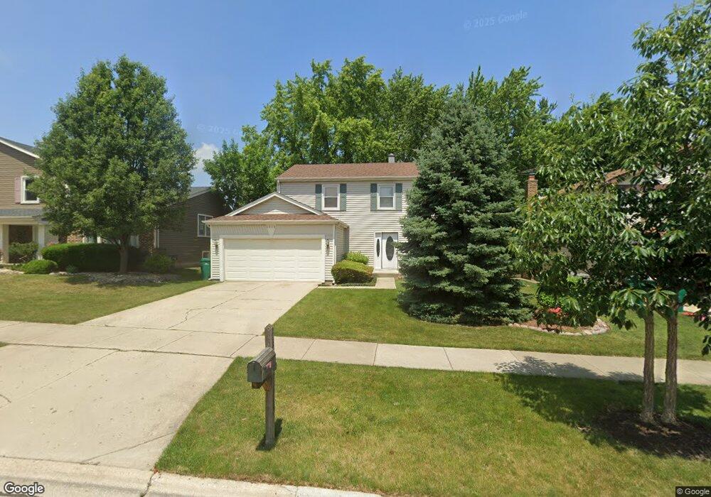
1315 Devonshire Rd Buffalo Grove, IL 60089
Prairie Park-Lake County NeighborhoodEstimated Value: $472,000 - $617,000
--
Bed
3
Baths
2,199
Sq Ft
$256/Sq Ft
Est. Value
About This Home
This home is located at 1315 Devonshire Rd, Buffalo Grove, IL 60089 and is currently estimated at $561,988, approximately $255 per square foot. 1315 Devonshire Rd is a home located in Lake County with nearby schools including Prairie Elementary School, Twin Groves Middle School, and Adlai E Stevenson High School.
Ownership History
Date
Name
Owned For
Owner Type
Purchase Details
Closed on
Feb 17, 2012
Sold by
Malfar Daniel E and Malfar Sandra S
Bought by
Malfar Daniel E and Schwartz Sandra J
Current Estimated Value
Home Financials for this Owner
Home Financials are based on the most recent Mortgage that was taken out on this home.
Original Mortgage
$122,000
Interest Rate
3.9%
Mortgage Type
New Conventional
Create a Home Valuation Report for This Property
The Home Valuation Report is an in-depth analysis detailing your home's value as well as a comparison with similar homes in the area
Home Values in the Area
Average Home Value in this Area
Purchase History
| Date | Buyer | Sale Price | Title Company |
|---|---|---|---|
| Malfar Daniel E | -- | Liberty Title & Escrow Co |
Source: Public Records
Mortgage History
| Date | Status | Borrower | Loan Amount |
|---|---|---|---|
| Closed | Malfar Daniel E | $122,000 |
Source: Public Records
Tax History Compared to Growth
Tax History
| Year | Tax Paid | Tax Assessment Tax Assessment Total Assessment is a certain percentage of the fair market value that is determined by local assessors to be the total taxable value of land and additions on the property. | Land | Improvement |
|---|---|---|---|---|
| 2024 | $13,448 | $155,901 | $33,162 | $122,739 |
| 2023 | $13,001 | $147,104 | $31,291 | $115,813 |
| 2022 | $13,001 | $135,678 | $28,860 | $106,818 |
| 2021 | $12,502 | $134,215 | $28,549 | $105,666 |
| 2020 | $12,703 | $134,672 | $28,646 | $106,026 |
| 2019 | $12,528 | $134,175 | $28,540 | $105,635 |
| 2018 | $12,075 | $133,475 | $28,208 | $105,267 |
| 2017 | $11,847 | $130,360 | $27,550 | $102,810 |
| 2016 | $11,538 | $124,830 | $26,381 | $98,449 |
| 2015 | $11,233 | $116,740 | $24,671 | $92,069 |
| 2014 | $10,273 | $105,816 | $26,496 | $79,320 |
| 2012 | $10,198 | $106,028 | $26,549 | $79,479 |
Source: Public Records
Map
Nearby Homes
- 1327 Larchmont Dr
- 1315 Gail Dr
- 5107 N Arlington Heights Rd
- 12 Cloverdale Ct
- 531 Lasalle Ln
- 5135 Bridlewood Ct
- 1325 Fairfax Ln
- 810 Silver Rock Ln
- 760 Checker Dr
- 1117 Franklin Ln Unit C52
- 620 Twisted Oak Ln
- 533 Lyon Dr
- 938 Hidden Lake Dr
- 630 Woodhollow Ln
- 4106 Bob o Link Ln
- 5255 Danbury Ct
- 1514 Sumter Dr
- 1272 Sandhurst Dr
- 2015 Tree Farm Ct
- 131 Autumn Ct Unit CT10602
- 1313 Devonshire Rd
- 1317 Devonshire Rd
- 908 Chaucer Way
- 1311 Devonshire Rd
- 1319 Devonshire Rd
- 920 Chaucer Way
- 1314 Devonshire Rd
- 1312 Devonshire Rd
- 1316 Devonshire Rd
- 1309 Devonshire Rd
- 1321 Devonshire Rd
- 934 Chaucer Way
- 884 Chaucer Way
- 1320 Devonshire Rd
- 1310 Devonshire Rd
- 1307 Devonshire Rd
- 1308 Devonshire Rd
- 1323 Devonshire Rd
- 946 Chaucer Way
- 900 Dannet Rd