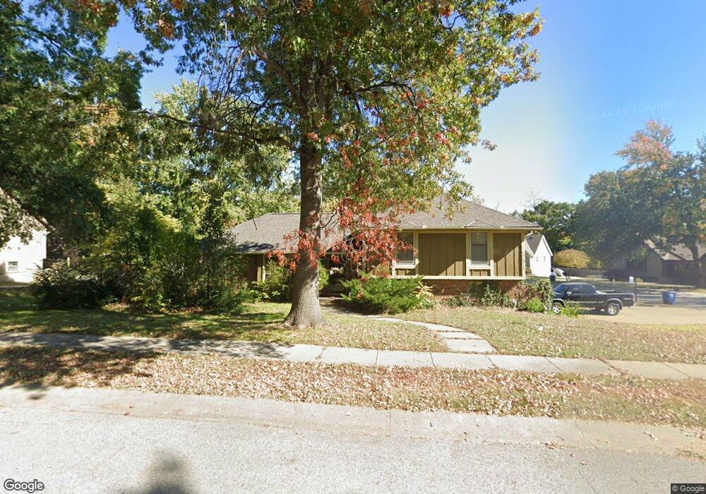
1315 Downing St Liberty, MO 64068
Estimated Value: $292,000 - $341,000
3
Beds
2
Baths
1,610
Sq Ft
$197/Sq Ft
Est. Value
About This Home
This home is located at 1315 Downing St, Liberty, MO 64068 and is currently estimated at $317,015, approximately $196 per square foot. 1315 Downing St is a home located in Clay County with nearby schools including Alexander Doniphan Elementary School, Liberty Middle School, and Liberty High School.
Ownership History
Date
Name
Owned For
Owner Type
Purchase Details
Closed on
Nov 10, 2003
Sold by
Kelley Steven K and Kelley India L
Bought by
Munro Michael T and Munro Jane C
Current Estimated Value
Home Financials for this Owner
Home Financials are based on the most recent Mortgage that was taken out on this home.
Original Mortgage
$131,899
Outstanding Balance
$61,404
Interest Rate
6.06%
Mortgage Type
FHA
Estimated Equity
$255,611
Create a Home Valuation Report for This Property
The Home Valuation Report is an in-depth analysis detailing your home's value as well as a comparison with similar homes in the area
Home Values in the Area
Average Home Value in this Area
Purchase History
| Date | Buyer | Sale Price | Title Company |
|---|---|---|---|
| Munro Michael T | -- | Old Republic Title Of Kansas |
Source: Public Records
Mortgage History
| Date | Status | Borrower | Loan Amount |
|---|---|---|---|
| Open | Munro Michael T | $131,899 |
Source: Public Records
Tax History Compared to Growth
Tax History
| Year | Tax Paid | Tax Assessment Tax Assessment Total Assessment is a certain percentage of the fair market value that is determined by local assessors to be the total taxable value of land and additions on the property. | Land | Improvement |
|---|---|---|---|---|
| 2025 | $2,840 | $42,430 | -- | -- |
| 2024 | $2,840 | $36,920 | -- | -- |
| 2023 | $2,888 | $36,920 | $0 | $0 |
| 2022 | $2,654 | $33,500 | $0 | $0 |
| 2021 | $2,633 | $33,497 | $7,220 | $26,277 |
| 2020 | $2,465 | $29,450 | $0 | $0 |
| 2019 | $2,465 | $29,450 | $0 | $0 |
| 2018 | $2,246 | $26,350 | $0 | $0 |
| 2017 | $2,225 | $26,350 | $4,560 | $21,790 |
| 2016 | $2,225 | $26,350 | $4,560 | $21,790 |
| 2015 | $2,225 | $26,350 | $4,560 | $21,790 |
| 2014 | $2,138 | $25,120 | $4,370 | $20,750 |
Source: Public Records
Map
Nearby Homes
- 1218 Canterbury Ln
- 1304 Wellington Way
- 1327 Easton Ct
- 1331 Park Ln
- 1105 Bristol Way
- 1537 Canterbury Ln
- 1317 Park Ln
- 1323 Amesbury Ave
- 1124 Amesbury Ave
- 1507 Amesbury Ave
- 1733 Welleslay Ln
- 918 Amesbury Ave
- 862 Amesbury Ave
- 1209 Liberty Drive Terrace
- 716 Bristol Ct
- 1030 Maple Woods Dr
- 1588 Columbine Ct
- 415 Monterey Ave
- 509 Belmont St
- Redbud Plan at Homestead of Liberty - Homestead
- 1242 Dunwich Dr
- 1307 Downing St
- 1236 Dunwich Dr
- 1324 Downing St
- 1323 Dunwich Dr
- 1318 Downing St
- 1301 Downing St
- 1317 Dunwich Dr
- 1312 Downing St
- 1232 Dunwich Dr
- 1311 Dunwich Dr
- 1305 Dunwich Dr
- 1306 Downing St
- 1237 Downing St
- 1241 Dunwich Dr
- 1337 Canterbury Ln
- 1331 Canterbury Ln
- 1226 Dunwich Dr
- 1235 Dunwich Dr
- 1325 Canterbury Ln