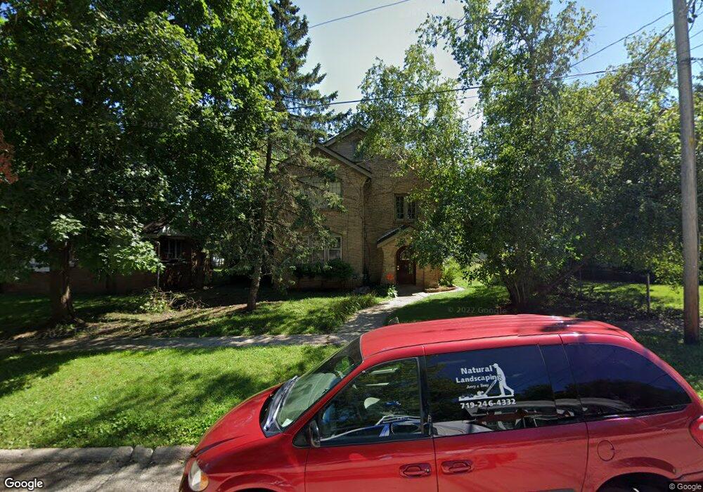
1315 Garrison Ave Rockford, IL 61103
Signal Hill NeighborhoodEstimated Value: $81,000 - $217,000
4
Beds
3
Baths
2,468
Sq Ft
$65/Sq Ft
Est. Value
About This Home
This home is located at 1315 Garrison Ave, Rockford, IL 61103 and is currently estimated at $159,333, approximately $64 per square foot. 1315 Garrison Ave is a home located in Winnebago County with nearby schools including R.K. Welsh Elementary School, West Middle School, and Guilford High School.
Ownership History
Date
Name
Owned For
Owner Type
Purchase Details
Closed on
Nov 12, 2021
Sold by
Elizabeth Gregory Bridget
Bought by
Kowalski Colleen T
Current Estimated Value
Home Financials for this Owner
Home Financials are based on the most recent Mortgage that was taken out on this home.
Original Mortgage
$35,250
Outstanding Balance
$32,561
Interest Rate
3.88%
Mortgage Type
New Conventional
Estimated Equity
$126,772
Create a Home Valuation Report for This Property
The Home Valuation Report is an in-depth analysis detailing your home's value as well as a comparison with similar homes in the area
Home Values in the Area
Average Home Value in this Area
Purchase History
| Date | Buyer | Sale Price | Title Company |
|---|---|---|---|
| Kowalski Colleen T | $47,000 | Kelly C Connor Pc |
Source: Public Records
Mortgage History
| Date | Status | Borrower | Loan Amount |
|---|---|---|---|
| Open | Kowalski Colleen T | $35,250 |
Source: Public Records
Tax History Compared to Growth
Tax History
| Year | Tax Paid | Tax Assessment Tax Assessment Total Assessment is a certain percentage of the fair market value that is determined by local assessors to be the total taxable value of land and additions on the property. | Land | Improvement |
|---|---|---|---|---|
| 2024 | $2,963 | $31,262 | $4,031 | $27,231 |
| 2023 | $2,862 | $27,565 | $3,554 | $24,011 |
| 2022 | $2,815 | $24,638 | $3,177 | $21,461 |
| 2021 | $2,769 | $22,591 | $2,913 | $19,678 |
| 2020 | $2,746 | $21,357 | $2,754 | $18,603 |
| 2019 | $2,727 | $20,356 | $2,625 | $17,731 |
| 2018 | $2,747 | $19,183 | $2,473 | $16,710 |
| 2017 | $2,724 | $18,359 | $2,367 | $15,992 |
| 2016 | $2,721 | $18,015 | $2,323 | $15,692 |
| 2015 | $2,756 | $18,015 | $2,323 | $15,692 |
| 2014 | $3,939 | $26,477 | $2,900 | $23,577 |
Source: Public Records
Map
Nearby Homes
- 1918 Auburn St
- 912 King St
- 1811 Yonge St
- 1604 Grant Ave
- 1619 Grant Ave
- 1902 Bruner St
- 2108 Burton St
- 409 Reynolds St
- 1027 Grant Ave
- 618 Napoleon St
- 330 King St
- 1030 N Winnebago St
- 1004 N Winnebago St
- 1520 N Rockton Ave
- 909 Ridge Ave Unit 911
- 2008 N Court St
- 1021 N Rockton Ave
- 915 N Winnebago St Unit 17
- 928 N Court St
- 1131 N Main St
- 1309 Garrison Ave
- 1317 Garrison Ave
- 1305 Garrison Ave
- 1321 Garrison Ave
- 1303 Garrison Ave
- 1316 Evelyn St
- 1314 Evelyn St
- 1324- 1326 Evelyn St
- 823 King St
- 1310 Evelyn St
- 1328 Evelyn St
- 1914 Auburn St
- 1304 Evelyn St
- 1332 Evelyn St
- 725 Price St
- 1322 Garrison Ave
- 1318 Garrison Ave
- 1304 Garrison Ave
- 1324 Garrison Ave
- 1314 Garrison Ave