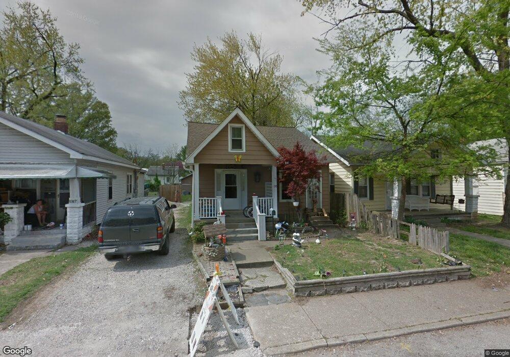
1315 Henning Ave Evansville, IN 47714
Presidents NeighborhoodEstimated Value: $109,000 - $117,376
3
Beds
1
Bath
1,328
Sq Ft
$86/Sq Ft
Est. Value
About This Home
This home is located at 1315 Henning Ave, Evansville, IN 47714 and is currently estimated at $114,094, approximately $85 per square foot. 1315 Henning Ave is a home located in Vanderburgh County with nearby schools including Benjamin Bosse High School, Harper Elementary School, and Washington Middle School.
Ownership History
Date
Name
Owned For
Owner Type
Purchase Details
Closed on
Dec 22, 2014
Sold by
Trejo Amy and Trejo Fernando
Bought by
Gates Dennis
Current Estimated Value
Purchase Details
Closed on
Nov 23, 2010
Sold by
Gates Dennis
Bought by
Trejo Amy and Trejo Fernando
Purchase Details
Closed on
Apr 8, 2010
Sold by
Integra Bank National Association
Bought by
Gates Dennis
Create a Home Valuation Report for This Property
The Home Valuation Report is an in-depth analysis detailing your home's value as well as a comparison with similar homes in the area
Home Values in the Area
Average Home Value in this Area
Purchase History
| Date | Buyer | Sale Price | Title Company |
|---|---|---|---|
| Gates Dennis | -- | -- | |
| Trejo Amy | $58,000 | None Available | |
| Gates Dennis | -- | None Available |
Source: Public Records
Mortgage History
| Date | Status | Borrower | Loan Amount |
|---|---|---|---|
| Closed | Trejo Amy | $0 |
Source: Public Records
Tax History Compared to Growth
Tax History
| Year | Tax Paid | Tax Assessment Tax Assessment Total Assessment is a certain percentage of the fair market value that is determined by local assessors to be the total taxable value of land and additions on the property. | Land | Improvement |
|---|---|---|---|---|
| 2024 | $1,318 | $61,100 | $9,100 | $52,000 |
| 2023 | $1,231 | $56,700 | $9,100 | $47,600 |
| 2022 | $1,229 | $56,300 | $9,100 | $47,200 |
| 2021 | $1,062 | $47,800 | $9,100 | $38,700 |
| 2020 | $1,038 | $47,800 | $9,100 | $38,700 |
| 2019 | $1,032 | $47,800 | $9,100 | $38,700 |
| 2018 | $1,036 | $47,800 | $9,100 | $38,700 |
| 2017 | $1,029 | $47,200 | $9,100 | $38,100 |
| 2016 | $1,033 | $47,300 | $9,100 | $38,200 |
| 2014 | $289 | $46,400 | $9,100 | $37,300 |
| 2013 | -- | $46,800 | $9,100 | $37,700 |
Source: Public Records
Map
Nearby Homes
- 1300 Henning Ave
- 1307 Marshall Ave
- 1215 Henning Ave
- 1203 Marshall Ave
- 1307 S Harlan Ave
- 1201 Marshall Ave
- 1225 S Harlan Ave
- 1350 Taylor Ave
- 1205 Lodge Ave
- 1112 S Harlan Ave
- 1558 Henning Ave
- 1419 Taylor Ave
- 1563 Marshall Ave
- 1102 S Harlan Ave
- 1143 S Bennighof Ave
- Asher Plan at Briar Pointe Subdivision
- Cooper Plan at Briar Pointe Subdivision
- 1263 Washington Ave
- 1152 Covert Ave
- 1425 Covert Ave
- 1313 Henning Ave
- 1317 Henning Ave
- 1311 Henning Ave
- 1319 Henning Ave
- 1307 Henning Ave
- 1321 Henning Ave
- 1305 Henning Ave
- 1401 Henning Ave
- 1310 S Harlan Ave
- 1308 S Harlan Ave
- 1312 S Harlan Ave
- 1316 S Harlan Ave
- 1304 S Harlan Ave
- 1403 Henning Ave
- 1301 Henning Ave
- 1312 Henning Ave
- 1314 Henning Ave
- 1310 Henning Ave
- 1316 Henning Ave
- 1308 Henning Ave