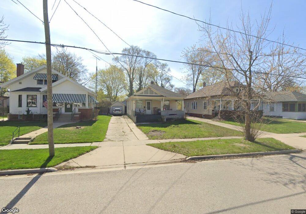
1315 Palmer Ave Muskegon, MI 49441
Nims NeighborhoodEstimated Value: $153,000 - $188,000
2
Beds
1
Bath
912
Sq Ft
$189/Sq Ft
Est. Value
About This Home
This home is located at 1315 Palmer Ave, Muskegon, MI 49441 and is currently estimated at $172,657, approximately $189 per square foot. 1315 Palmer Ave is a home located in Muskegon County with nearby schools including Muskegon Catholic Central School and St. Michael Elementary School.
Ownership History
Date
Name
Owned For
Owner Type
Purchase Details
Closed on
Oct 28, 2016
Sold by
Judd Kathy A
Bought by
Judd Kathy Ann and The Kathy Judd Revocable Trust
Current Estimated Value
Purchase Details
Closed on
Mar 20, 2003
Sold by
Hud
Bought by
Judd Kathy A
Home Financials for this Owner
Home Financials are based on the most recent Mortgage that was taken out on this home.
Original Mortgage
$47,500
Outstanding Balance
$20,539
Interest Rate
5.96%
Mortgage Type
Unknown
Estimated Equity
$152,118
Purchase Details
Closed on
Mar 24, 2002
Sold by
Countrywide Home Loans Inc
Bought by
Hud
Create a Home Valuation Report for This Property
The Home Valuation Report is an in-depth analysis detailing your home's value as well as a comparison with similar homes in the area
Home Values in the Area
Average Home Value in this Area
Purchase History
| Date | Buyer | Sale Price | Title Company |
|---|---|---|---|
| Judd Kathy Ann | -- | Attorney | |
| Judd Kathy A | $50,000 | -- | |
| Hud | -- | -- |
Source: Public Records
Mortgage History
| Date | Status | Borrower | Loan Amount |
|---|---|---|---|
| Open | Judd Kathy A | $47,500 |
Source: Public Records
Tax History Compared to Growth
Tax History
| Year | Tax Paid | Tax Assessment Tax Assessment Total Assessment is a certain percentage of the fair market value that is determined by local assessors to be the total taxable value of land and additions on the property. | Land | Improvement |
|---|---|---|---|---|
| 2025 | $1,220 | $60,200 | $0 | $0 |
| 2024 | $321 | $48,900 | $0 | $0 |
| 2023 | $307 | $42,600 | $0 | $0 |
| 2022 | $1,140 | $34,800 | $0 | $0 |
| 2021 | $1,120 | $30,800 | $0 | $0 |
| 2020 | $1,087 | $27,100 | $0 | $0 |
| 2019 | $1,067 | $24,200 | $0 | $0 |
| 2018 | $1,043 | $24,100 | $0 | $0 |
| 2017 | $1,007 | $23,100 | $0 | $0 |
| 2016 | $261 | $22,100 | $0 | $0 |
| 2015 | -- | $22,600 | $0 | $0 |
| 2014 | $256 | $22,700 | $0 | $0 |
| 2013 | -- | $21,700 | $0 | $0 |
Source: Public Records
Map
Nearby Homes
- 1270 Palmer Ave
- 952 Boardwalk Cove Dr
- 1151 W Dale Ave
- 1135 W Dale Ave
- 1092 Ireland Ave
- 1465 Barclay St
- VL Washington
- 1636 Franklin St
- 995 W Southern Ave
- 972 W Dale Ave
- 988 W Larch Ave
- 901 Adelaide Cir Unit 607
- 901 Adelaide Cir Unit 202
- 901 Adelaide Cir Unit 503
- 901 Adelaide Cir Unit 407
- 901 Adelaide Cir Unit 404
- 901 Adelaide Cir Unit 308
- 901 Adelaide Cir Unit 209
- 901 Adelaide Cir Unit 502
- 901 Adelaide Cir Unit 402
- 1311 Palmer Ave
- 1307 Palmer Ave
- 1319 Palmer Ave
- 1276 Montgomery Ave
- 1325 Palmer Ave
- 1303 Palmer Ave
- 1270 Montgomery Ave
- 1634 McGraft St
- 1280 Montgomery Ave
- 1640 McGraft St
- 1284 Montgomery Ave
- 1320 Palmer Ave
- 1295 Palmer Ave
- 1288 Montgomery Ave
- 1328 Palmer Ave
- 1316 Palmer Ave
- 1312 Palmer Ave
- 1324 Palmer Ave
- 1308 Palmer Ave
- 1332 Palmer Ave