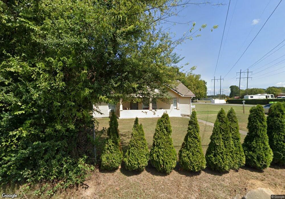
1315 Riverbend Rd Dalton, GA 30721
Estimated Value: $164,508 - $194,000
--
Bed
1
Bath
1,398
Sq Ft
$128/Sq Ft
Est. Value
About This Home
This home is located at 1315 Riverbend Rd, Dalton, GA 30721 and is currently estimated at $179,377, approximately $128 per square foot. 1315 Riverbend Rd is a home located in Whitfield County with nearby schools including Eastside Elementary School, Eastbrook Middle School, and Southeast Whitfield County High School.
Ownership History
Date
Name
Owned For
Owner Type
Purchase Details
Closed on
Aug 23, 2016
Sold by
Charter Barbara
Bought by
Balbino Jose Manuel
Current Estimated Value
Home Financials for this Owner
Home Financials are based on the most recent Mortgage that was taken out on this home.
Original Mortgage
$71,000
Outstanding Balance
$19,459
Interest Rate
2.74%
Estimated Equity
$159,918
Purchase Details
Closed on
Aug 6, 2001
Sold by
Chapman Terry Lee
Bought by
Charter Barbara
Purchase Details
Closed on
Apr 1, 1995
Bought by
Chapman Terry Lee
Create a Home Valuation Report for This Property
The Home Valuation Report is an in-depth analysis detailing your home's value as well as a comparison with similar homes in the area
Home Values in the Area
Average Home Value in this Area
Purchase History
| Date | Buyer | Sale Price | Title Company |
|---|---|---|---|
| Balbino Jose Manuel | $78,000 | -- | |
| Charter Barbara | $54,500 | -- | |
| Chapman Terry Lee | $47,000 | -- |
Source: Public Records
Mortgage History
| Date | Status | Borrower | Loan Amount |
|---|---|---|---|
| Open | Balbino Jose Manuel | $71,000 |
Source: Public Records
Tax History Compared to Growth
Tax History
| Year | Tax Paid | Tax Assessment Tax Assessment Total Assessment is a certain percentage of the fair market value that is determined by local assessors to be the total taxable value of land and additions on the property. | Land | Improvement |
|---|---|---|---|---|
| 2024 | $1,124 | $63,233 | $7,000 | $56,233 |
| 2023 | $1,124 | $44,551 | $5,040 | $39,511 |
| 2022 | $638 | $30,194 | $5,040 | $25,154 |
| 2021 | $638 | $30,194 | $5,040 | $25,154 |
| 2020 | $649 | $30,194 | $5,040 | $25,154 |
| 2019 | $654 | $30,194 | $5,040 | $25,154 |
| 2018 | $659 | $30,194 | $5,040 | $25,154 |
| 2017 | $659 | $30,194 | $5,040 | $25,154 |
| 2016 | $848 | $27,972 | $5,040 | $22,932 |
| 2014 | $753 | $27,972 | $5,040 | $22,932 |
| 2013 | -- | $27,971 | $5,040 | $22,931 |
Source: Public Records
Map
Nearby Homes
- 1320 Coker Dr
- Lot 3 Riverbend Rd
- Lot 2 Riverbend Rd
- 945 Riverbend Rd
- Lot 4 Liberty Dr
- Lot 10 Liberty Dr
- Lot 9 Liberty Dr
- 1712 Wendell St
- 1412 Stevenson Dr
- 1401 Eastbrook Rd SE
- 1302 Jackson Rd
- 11 Liberty St
- 1007 Locke Dr
- 1629 Roosevelt Dr
- Lot 5 River Bend Rd
- Lot 4 Riverbend Rd
- Lot 7 Riverbend Rd
- trac 2 Roosevelt Dr
- trac 3 Roosevelt Dr
- 1401 Eastbrook Dr SE
- 1292 Coker Dr
- 1303 Coker Dr
- 1311 Riverbend Rd
- 1324 Riverbend Rd
- 1431 Riverbend Rd
- 1306 Coker Dr
- 1402 Antioch Rd
- 1313 Coker Dr
- 1402 Riverbend Rd
- 1406 Antioch Rd
- 1302 Coker Dr
- 1302 Coker Dr
- 1304 Riverbend Rd
- 1315 Coker Dr
- 126 Fort Way
- 1408 Antioch Rd
- 1409 Antioch Rd
- 152 Fort Way
- 1317 Coker Dr
- 1305 Henton Rd