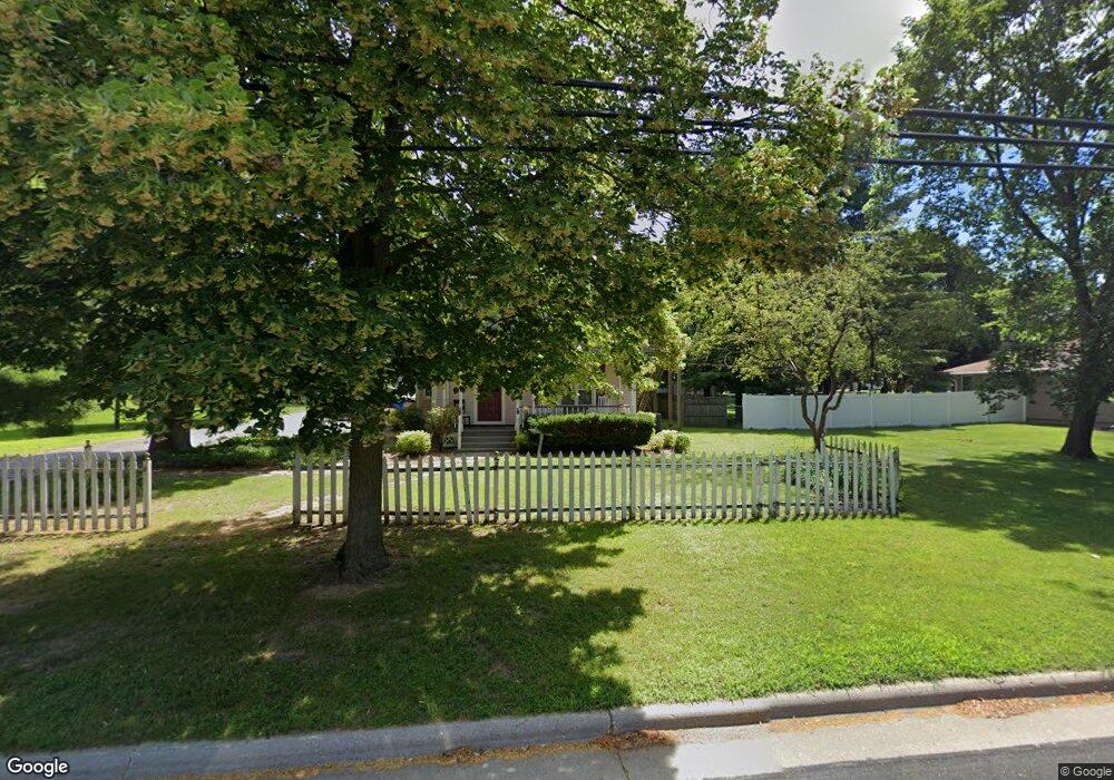
1315 S Main St Fort Atkinson, WI 53538
Estimated Value: $342,000 - $438,009
--
Bed
--
Bath
--
Sq Ft
0.51
Acres
About This Home
This home is located at 1315 S Main St, Fort Atkinson, WI 53538 and is currently estimated at $394,252. 1315 S Main St is a home located in Jefferson County with nearby schools including Purdy Elementary School, Fort Atkinson Middle School, and Fort Atkinson High School.
Ownership History
Date
Name
Owned For
Owner Type
Purchase Details
Closed on
Jun 13, 2012
Sold by
Premierbank
Bought by
Crabapple Court Cbrf
Current Estimated Value
Home Financials for this Owner
Home Financials are based on the most recent Mortgage that was taken out on this home.
Original Mortgage
$119,000
Outstanding Balance
$82,471
Interest Rate
3.83%
Mortgage Type
Purchase Money Mortgage
Estimated Equity
$311,781
Purchase Details
Closed on
Mar 24, 2011
Sold by
Dominguez John R and Dominguez Heather A
Bought by
Premierbank
Create a Home Valuation Report for This Property
The Home Valuation Report is an in-depth analysis detailing your home's value as well as a comparison with similar homes in the area
Home Values in the Area
Average Home Value in this Area
Purchase History
| Date | Buyer | Sale Price | Title Company |
|---|---|---|---|
| Crabapple Court Cbrf | $153,000 | None Available | |
| Premierbank | $164,243 | None Available |
Source: Public Records
Mortgage History
| Date | Status | Borrower | Loan Amount |
|---|---|---|---|
| Open | Crabapple Court Cbrf | $119,000 |
Source: Public Records
Tax History Compared to Growth
Tax History
| Year | Tax Paid | Tax Assessment Tax Assessment Total Assessment is a certain percentage of the fair market value that is determined by local assessors to be the total taxable value of land and additions on the property. | Land | Improvement |
|---|---|---|---|---|
| 2024 | $6,092 | $324,400 | $66,000 | $258,400 |
| 2023 | $6,042 | $324,400 | $66,000 | $258,400 |
| 2022 | $6,062 | $215,800 | $45,000 | $170,800 |
| 2021 | $5,377 | $215,800 | $45,000 | $170,800 |
| 2020 | $5,136 | $215,800 | $45,000 | $170,800 |
| 2019 | $4,956 | $215,800 | $45,000 | $170,800 |
| 2018 | $4,745 | $215,800 | $45,000 | $170,800 |
| 2017 | $4,592 | $215,800 | $45,000 | $170,800 |
| 2016 | $4,920 | $221,600 | $38,300 | $183,300 |
| 2015 | $4,890 | $221,600 | $38,300 | $183,300 |
| 2014 | $4,723 | $221,600 | $38,300 | $183,300 |
| 2013 | $4,847 | $221,600 | $38,300 | $183,300 |
Source: Public Records
Map
Nearby Homes
- 1402 Adrian Blvd
- 205 Wollet Dr
- 265 Heritage Dr Unit 19
- 263 Heritage Dr Unit 20
- 1268 Jamesway
- 1000 Whitetail Dr
- 611 Talcott Ave
- 633 Hilltop Trail W
- 206 Hilltop Trail
- W6272 Apple Ln
- N1609 Pleasant Rd
- N1657 Carlin Rd
- 336 Jones Ave
- 234 S Main St
- 233 S Water St E
- W6368 Briar Ln
- 125 Monroe St
- 42 Wilson Ave
- 416 N 3rd St
- 311 N Main St
- 7 Margaret Ave
- 13 Margaret Ave
- 1309 S Main St
- 15 Margaret Ave
- N1895 S Main St
- 1312 Greene St
- 1301 S Main St
- 1401 S Main St
- 8 Krause Ave
- N1877 S Main St
- 12 Krause Ave
- 8 Margaret Ave
- 1405 S Main St
- 16 Krause Ave
- 1412 S Main St
- 16 Margaret Ave
- 1411 S Main St
- 1321 Greene St
- N1882 Grant St
- 105 Margaret Ave