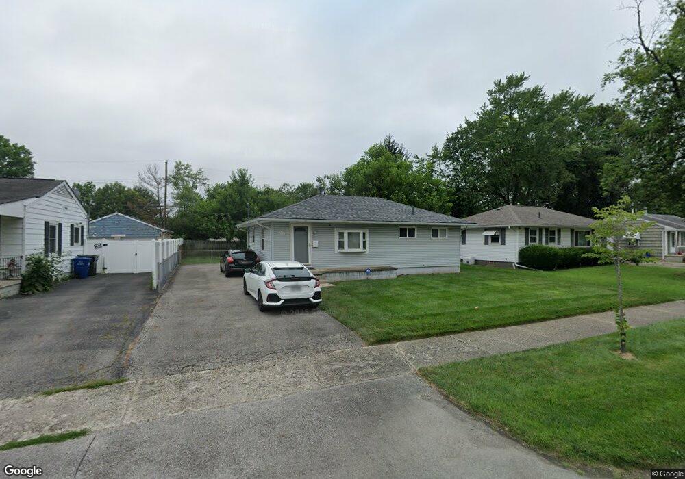
1315 Shady Lane Rd Columbus, OH 43227
Shady Lane NeighborhoodEstimated Value: $179,813 - $246,000
3
Beds
1
Bath
912
Sq Ft
$221/Sq Ft
Est. Value
About This Home
This home is located at 1315 Shady Lane Rd, Columbus, OH 43227 and is currently estimated at $201,203, approximately $220 per square foot. 1315 Shady Lane Rd is a home located in Franklin County with nearby schools including Shady Lane Elementary School, Sherwood Middle School, and Walnut Ridge High School.
Ownership History
Date
Name
Owned For
Owner Type
Purchase Details
Closed on
May 19, 1992
Bought by
Curtis Heidi L
Current Estimated Value
Purchase Details
Closed on
Feb 1, 1987
Purchase Details
Closed on
Apr 1, 1979
Create a Home Valuation Report for This Property
The Home Valuation Report is an in-depth analysis detailing your home's value as well as a comparison with similar homes in the area
Home Values in the Area
Average Home Value in this Area
Purchase History
| Date | Buyer | Sale Price | Title Company |
|---|---|---|---|
| Curtis Heidi L | $39,100 | -- | |
| -- | $40,000 | -- | |
| -- | $35,900 | -- |
Source: Public Records
Tax History
| Year | Tax Paid | Tax Assessment Tax Assessment Total Assessment is a certain percentage of the fair market value that is determined by local assessors to be the total taxable value of land and additions on the property. | Land | Improvement |
|---|---|---|---|---|
| 2025 | $2,672 | $59,540 | $16,980 | $42,560 |
| 2024 | $2,672 | $59,540 | $16,980 | $42,560 |
| 2023 | $2,638 | $59,535 | $16,975 | $42,560 |
| 2022 | $1,376 | $26,540 | $6,760 | $19,780 |
| 2021 | $1,379 | $26,540 | $6,760 | $19,780 |
| 2020 | $1,381 | $26,540 | $6,760 | $19,780 |
| 2019 | $1,225 | $20,200 | $5,390 | $14,810 |
| 2018 | $1,227 | $20,200 | $5,390 | $14,810 |
| 2017 | $1,291 | $20,200 | $5,390 | $14,810 |
| 2016 | $1,357 | $20,480 | $5,290 | $15,190 |
| 2015 | $1,232 | $20,480 | $5,290 | $15,190 |
| 2014 | $1,235 | $20,480 | $5,290 | $15,190 |
| 2013 | $717 | $24,115 | $6,230 | $17,885 |
Source: Public Records
Map
Nearby Homes
- 1211 Shady Lane Rd
- 1193 Marble Dr
- 1243 Simpson Dr
- 4530 Amesbury Rd
- 1260 Country Club Rd
- 1310 Manfeld Dr
- 1281 Maetzel Dr
- 4677 E Livingston Ave
- 4819 Calvin Dr
- 4467 Grimsby Rd
- 4472 Aragon Ave
- 1472 Blaine Dr
- 1639 Shady Lane Rd
- 1253 Dutton Place
- 4701 Janis Dr
- 4382 E Fulton St
- 1085 S Hamilton Rd
- 4991 Justin Rd
- 1607 Baxter Dr
- 4649 Dundee Ave
- 1307 Shady Lane Rd
- 1331 Shady Lane Rd
- 1299 Shady Lane Rd
- 1312 Marble Dr
- 1320 Marble Dr
- 1304 Marble Dr
- 1328 Marble Dr
- 1298 Marble Dr
- 1304 Shady Lane Rd
- 1339 Shady Lane Rd
- 1291 Shady Lane Rd
- 1312 Shady Lane Rd
- 1296 Shady Lane Rd
- 1320 Shady Lane Rd
- 1338 Marble Dr
- 1288 Marble Dr
- 1288 Shady Lane Rd
- 1328 Shady Lane Rd
- 1347 Shady Lane Rd
- 1283 Shady Lane Rd
Your Personal Tour Guide
Ask me questions while you tour the home.