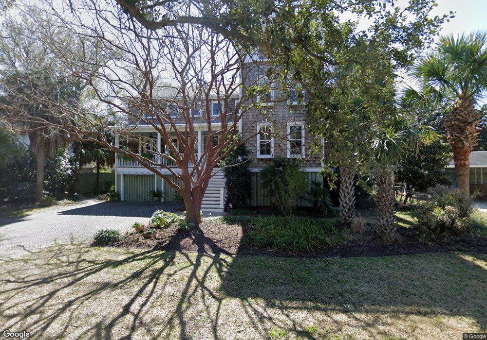
1315 Thompson Ave Sullivans Island, SC 29482
Sullivan's Island NeighborhoodEstimated Value: $4,633,000 - $4,860,714
4
Beds
5
Baths
4,269
Sq Ft
$1,104/Sq Ft
Est. Value
About This Home
This home is located at 1315 Thompson Ave, Sullivans Island, SC 29482 and is currently estimated at $4,711,905, approximately $1,103 per square foot. 1315 Thompson Ave is a home located in Charleston County with nearby schools including Sullivans Island Elementary School, Moultrie Middle School, and Wando High School.
Ownership History
Date
Name
Owned For
Owner Type
Purchase Details
Closed on
Mar 12, 2013
Sold by
Browder Richard W and Browder Diana T
Bought by
Jones Ernest G and Jones Patricia B
Current Estimated Value
Purchase Details
Closed on
Aug 19, 2005
Sold by
1315 Thompson Avenue Associates Llc
Bought by
Taylor David Glenn and 1315 Thompson Avenue Revocable Trust
Purchase Details
Closed on
Nov 25, 2002
Sold by
Cummings Robert J
Bought by
Cummings Kristin T
Purchase Details
Closed on
Jul 30, 2001
Sold by
Cummings Brian J
Bought by
Cummings Robert J
Create a Home Valuation Report for This Property
The Home Valuation Report is an in-depth analysis detailing your home's value as well as a comparison with similar homes in the area
Home Values in the Area
Average Home Value in this Area
Purchase History
| Date | Buyer | Sale Price | Title Company |
|---|---|---|---|
| Jones Ernest G | $1,515,000 | -- | |
| Taylor David Glenn | $1,700,000 | -- | |
| 1315 Thompson Avenue Associates Llc | -- | -- | |
| Cummings Kristin T | -- | -- | |
| Cummings Robert J | $140,000 | -- | |
| Cummings Brian J | -- | -- |
Source: Public Records
Mortgage History
| Date | Status | Borrower | Loan Amount |
|---|---|---|---|
| Closed | Cummings Kristin T | -- |
Source: Public Records
Tax History Compared to Growth
Tax History
| Year | Tax Paid | Tax Assessment Tax Assessment Total Assessment is a certain percentage of the fair market value that is determined by local assessors to be the total taxable value of land and additions on the property. | Land | Improvement |
|---|---|---|---|---|
| 2024 | $7,803 | $67,690 | $0 | $0 |
| 2023 | $7,803 | $67,690 | $0 | $0 |
| 2022 | $7,678 | $67,690 | $0 | $0 |
| 2021 | $7,955 | $67,690 | $0 | $0 |
| 2020 | $8,118 | $67,690 | $0 | $0 |
| 2019 | $6,761 | $58,600 | $0 | $0 |
| 2017 | $5,967 | $60,600 | $0 | $0 |
| 2016 | $5,685 | $60,600 | $0 | $0 |
| 2015 | $5,931 | $60,600 | $0 | $0 |
| 2014 | $5,444 | $0 | $0 | $0 |
| 2011 | -- | $0 | $0 | $0 |
Source: Public Records
Map
Nearby Homes
- 1651 Atlantic Ave
- 1714 Middle St
- 932 Middle St
- 1727 Atlantic Ave
- 904 Middle St
- 1750 Ion Ave
- 1773 Atlantic Ave
- 409 Station 22 1 2 St
- 1602 Marsh Harbor Ln Unit A
- 1647 Marsh Harbor Ln
- 1608 Marsh Harbor Ln Unit C
- 967 Royall Ave
- 2307 Ion Ave
- 2414 Goldbug Ave
- 2424 Middle St
- 521 London Bridge Rd
- 301 Center St
- 242 Middle St
- 2524 Goldbug Ave
- 1520 Barquentine Dr
- 1319 Thompson Ave
- 1311 Thompson Ave
- 1318 Middle St
- 1322 Middle St
- 1305 Thompson Ave
- 1312 Middle St
- 1312 Thompson Ave
- 1320 Thompson Ave
- 1306 Thompson Ave
- 1308 Middle St
- 1402 Middle St
- 1401 Thompson Ave
- 1301 Thompson Ave
- 1402 Thompson Ave
- 1302 Thompson Ave
- 1315 Cove Ave
- 1311 Cove Ave
- 1406 Thompson Ave
- 1319 Cove Ave
- 1307 Cove Ave