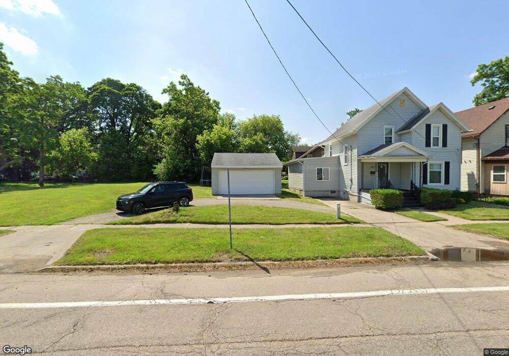
1315 W 2nd St Flint, MI 48503
Southwest Flint NeighborhoodEstimated Value: $53,000 - $147,000
--
Bed
2
Baths
--
Sq Ft
4,138
Sq Ft Lot
About This Home
This home is located at 1315 W 2nd St, Flint, MI 48503 and is currently estimated at $103,308. 1315 W 2nd St is a home located in Genesee County with nearby schools including Eisenhower School, WAY Academy of Flint, and St John Vianney Catholic School.
Ownership History
Date
Name
Owned For
Owner Type
Purchase Details
Closed on
Feb 8, 2010
Sold by
Stair Philip G and Genesee County Land Bank Autho
Bought by
Chilton Deandre and Chilton Latrisha
Current Estimated Value
Purchase Details
Closed on
Dec 21, 2009
Sold by
Kildee Daniel T and Genesee County Treasurer
Bought by
Genesee County Land Bank Authority
Purchase Details
Closed on
Sep 30, 2005
Sold by
Benoit Doug
Bought by
Hale David E and Hale Donald F
Purchase Details
Closed on
Feb 23, 2005
Sold by
First National Acceptance Co
Bought by
Smith Scott
Purchase Details
Closed on
Oct 7, 2004
Sold by
Smith Scott and Smith Kelly
Bought by
Benoit Doug
Create a Home Valuation Report for This Property
The Home Valuation Report is an in-depth analysis detailing your home's value as well as a comparison with similar homes in the area
Home Values in the Area
Average Home Value in this Area
Purchase History
| Date | Buyer | Sale Price | Title Company |
|---|---|---|---|
| Chilton Deandre | -- | None Available | |
| Genesee County Land Bank Authority | -- | None Available | |
| Hale David E | -- | None Available | |
| Smith Scott | $10,000 | -- | |
| Benoit Doug | $5,500 | First American Title Ins Co |
Source: Public Records
Tax History Compared to Growth
Tax History
| Year | Tax Paid | Tax Assessment Tax Assessment Total Assessment is a certain percentage of the fair market value that is determined by local assessors to be the total taxable value of land and additions on the property. | Land | Improvement |
|---|---|---|---|---|
| 2025 | $149 | $6,400 | $0 | $0 |
| 2024 | $138 | $6,300 | $0 | $0 |
| 2023 | $145 | $5,200 | $0 | $0 |
| 2022 | $0 | $4,300 | $0 | $0 |
| 2021 | $179 | $4,000 | $0 | $0 |
| 2020 | $167 | $3,600 | $0 | $0 |
| 2019 | $173 | $3,300 | $0 | $0 |
| 2018 | $141 | $3,200 | $0 | $0 |
| 2017 | $138 | $0 | $0 | $0 |
| 2016 | $138 | $0 | $0 | $0 |
| 2015 | -- | $0 | $0 | $0 |
| 2014 | -- | $0 | $0 | $0 |
| 2012 | -- | $1,800 | $0 | $0 |
Source: Public Records
Map
Nearby Homes
- 913 Davis St
- 1926 W Court St
- 1202 Pershing St
- 503 W 2nd St
- 1810 Chelsea Cir
- 1009 Oak St
- 1820 Chelsea Cir
- 2124 Swayze St
- 1412 Durand St
- 2008 University Ave
- 227 W 5th Ave Unit 3
- 314 W 5th St
- 1708 Fenton Rd
- 2021 Brooks St
- 347 W 5th St Unit 2
- 343 W 5th St Unit 1
- 339 W 5th St Unit 3
- 335 W 5th St Unit 2
- 331 W 5th St Unit 1
- 407 W 2nd Ave