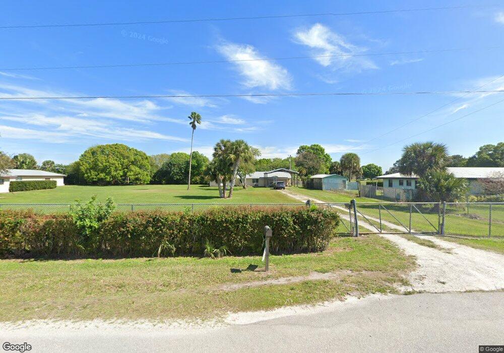
1315 Western Dr Moore Haven, FL 33471
Estimated Value: $221,352 - $296,000
3
Beds
2
Baths
1,850
Sq Ft
$140/Sq Ft
Est. Value
About This Home
This home is located at 1315 Western Dr, Moore Haven, FL 33471 and is currently estimated at $258,838, approximately $139 per square foot. 1315 Western Dr is a home located in Glades County with nearby schools including Moore Haven Junior/Senior High School and Moore Haven Elementary School.
Ownership History
Date
Name
Owned For
Owner Type
Purchase Details
Closed on
Aug 26, 2015
Sold by
Ringstaff Elton W and Ringstaff Robert A
Bought by
Ringstaff Elton W and Ringstaff Robart Andrew
Current Estimated Value
Purchase Details
Closed on
May 13, 2015
Sold by
Ringstaff Robert Andrew and Ringstaff Cynthia Alona
Bought by
Ringstaff Robert Andrew
Purchase Details
Closed on
Jun 17, 2014
Sold by
Ringstaff Elton W
Bought by
Ringstaff Elton W
Purchase Details
Closed on
May 8, 2013
Sold by
Ringstaff Elton W and Ringstaff Patricia Ann
Bought by
Ringstaff Robert Andrew and Ringstaff Cynthia Alona
Create a Home Valuation Report for This Property
The Home Valuation Report is an in-depth analysis detailing your home's value as well as a comparison with similar homes in the area
Purchase History
| Date | Buyer | Sale Price | Title Company |
|---|---|---|---|
| Ringstaff Elton W | -- | Attorney | |
| Ringstaff Robert Andrew | -- | Attorney | |
| Ringstaff Elton W | -- | Attorney | |
| Ringstaff Robert Andrew | -- | Attorney |
Source: Public Records
Tax History
| Year | Tax Paid | Tax Assessment Tax Assessment Total Assessment is a certain percentage of the fair market value that is determined by local assessors to be the total taxable value of land and additions on the property. | Land | Improvement |
|---|---|---|---|---|
| 2025 | $856 | $91,450 | -- | -- |
| 2023 | $777 | $86,284 | $0 | $0 |
| 2022 | $737 | $83,771 | $0 | $0 |
| 2021 | $722 | $81,331 | $0 | $0 |
| 2020 | $705 | $80,208 | $0 | $0 |
| 2019 | $606 | $74,393 | $0 | $0 |
| 2018 | $606 | $73,006 | $0 | $0 |
| 2017 | $603 | $71,504 | $8,268 | $63,236 |
| 2016 | $624 | $72,212 | $0 | $0 |
| 2015 | $628 | $71,710 | $0 | $0 |
| 2014 | $642 | $72,554 | $0 | $0 |
Source: Public Records
Map
Nearby Homes
- 0 Rodeo Rd
- 1099 Pine Ave
- 1086 Pine Ave
- 1040 Branch's Cir
- 1044 Branch's Cir
- Lot 16 Foxmoor St
- 1170 Foxmoor St
- 1085 West Ave
- TBD Elderberry Ave NW
- 209 Elderberry Ave NW
- 411 Elderberry Ave
- 214 Orchard Ave
- 1753 West Ave
- 1824 Riverside Dr
- 699 Avenue R
- 464 Avenue R
- 309 Pinecrest Ave NW
- 409 Oakmont Ave
- 771 Avenue East NW
- 599 Avenue R SW
Your Personal Tour Guide
Ask me questions while you tour the home.